Tuscarora Trail: Cowans Gap State Park, Tuscarora Mountain, Knob Mountain, Rising Mountain to Hemlocks Natural Area
Distance: 27.5 miles
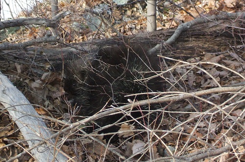
This long-planned 3-day backpacking trip along the Tuscarora Trail was expected to be full of snow and ice and typical February weather. Instead we found ourselves in 60-degree sunshine, T-shirt weather most of the time--and with little snow at all. My dog, Hunter, found a porcupine the first day, which fortunately spared him a trip to the vet. He refused to sleep that first night, though, due in part to the wind and the howling coyotes. Day 2 found us crossing pleasant Pennsylvania farmland, followed by "The Longest Mile" mud climb onto Knob Mountain. Day 3, due to our lack of snow, forced several extra miles of walking to find a suitable water source, and a surprise of two-inch thick ice covering our final destination--Hemlock Road--tacking another mile and a half onto the end of our journey. Here were the highlights:
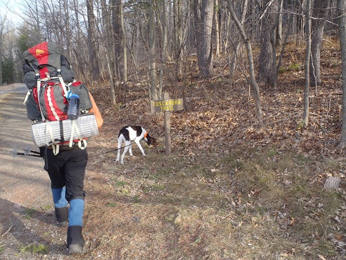
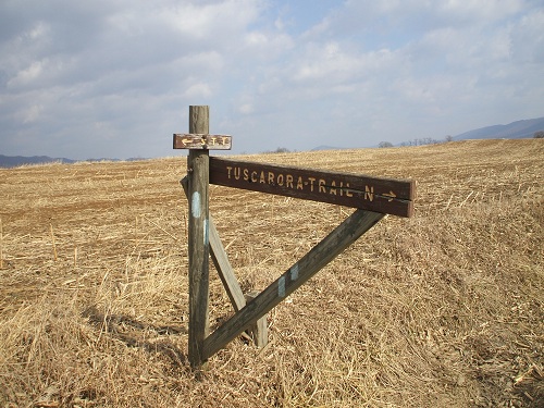
Starting out the Tuscarora Trail:
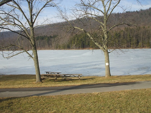
Cowans Gap Reservoir:
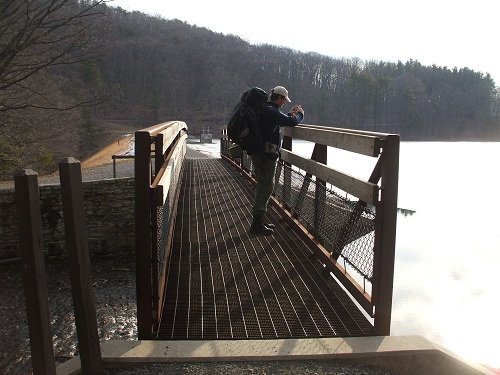
From the spillway:
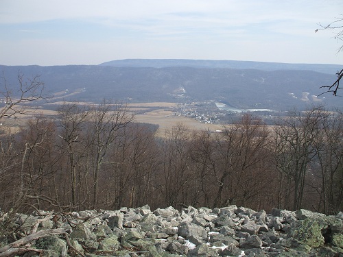
View, Fannettsburg in the distance:
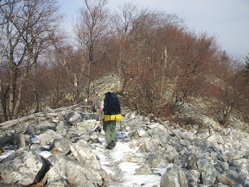
Typical rockiness along the trail:
Immovable porcupine:
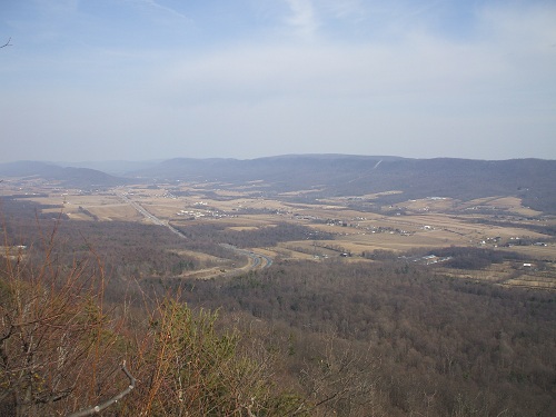
Overlooking the Pennsylvania Turnpike:
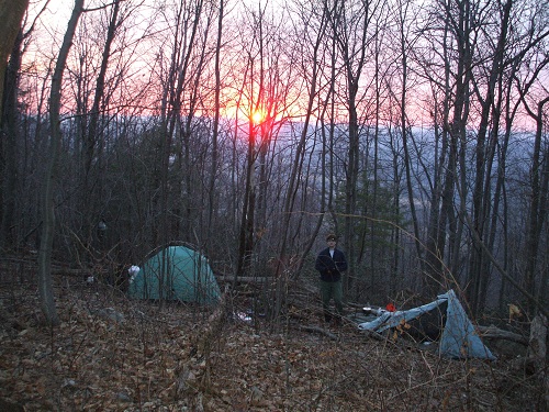
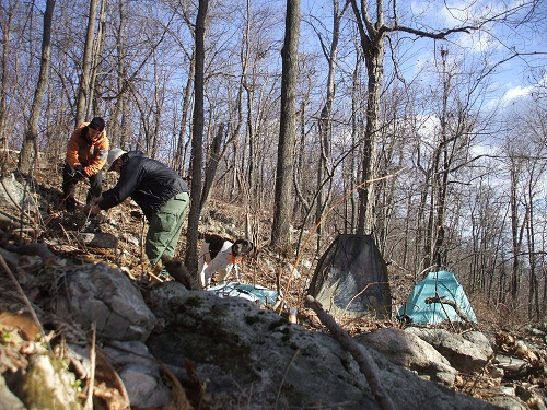
Camp, Day 1:
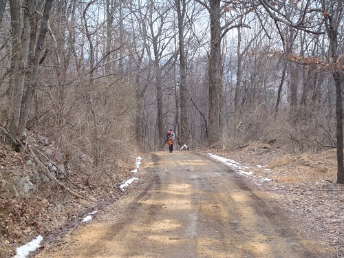
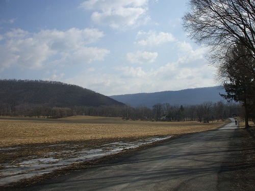
Road to Path Valley:
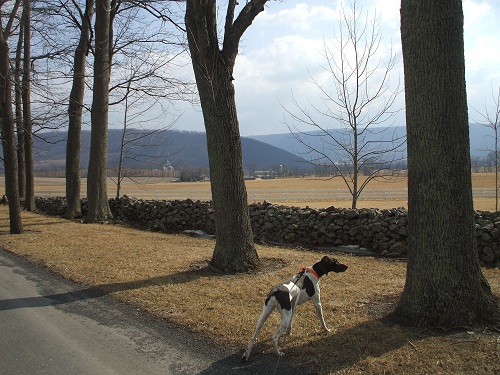
Valley scenery (Knob Mountain in the distance):
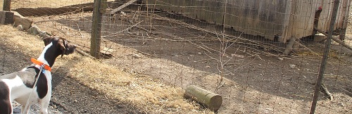
Staring contest, Dog vs. Chicken (chicken won):
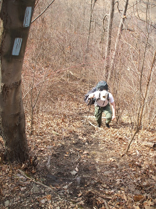
Nearing Knob Mountain:
Enduring "The Longest Mile":
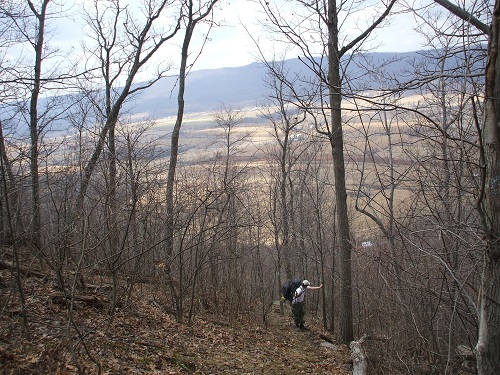
Topping out on Knob Mountain:
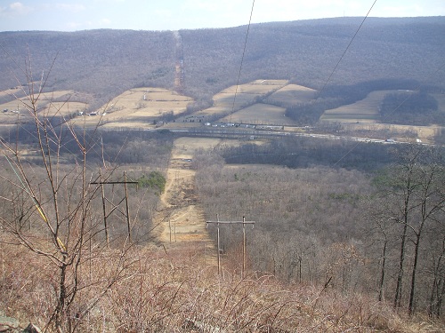
Steep powerlines:
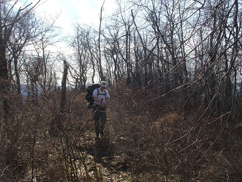
Typical bramble-bashing:
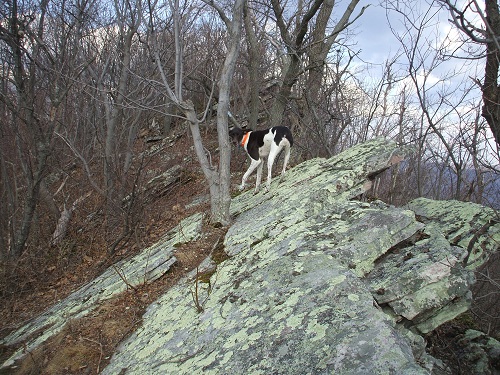
Rock Climbing Dog:
Rougher parts of day 2:

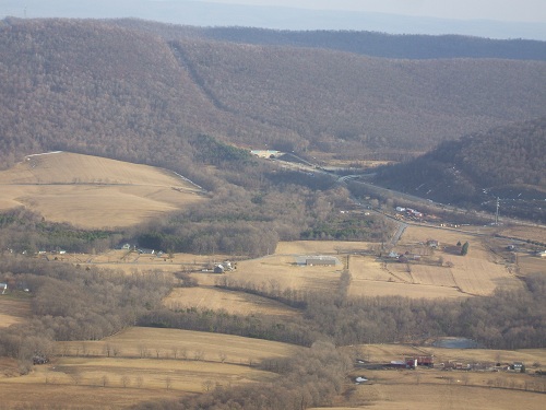
Turnpike, Blue Mountain Tunnel:
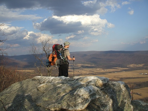
Enjoying the view:
Breakfast, day 3:
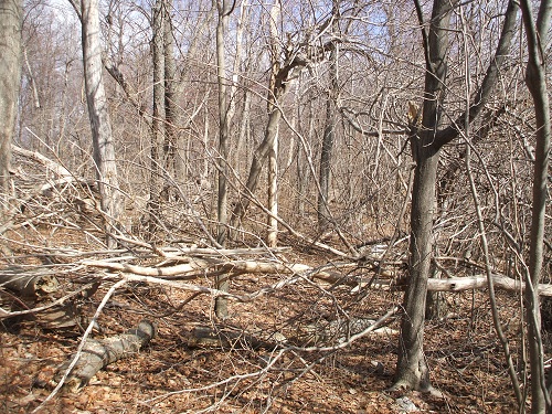
Ice storm damage: a force to be reckoned with, everywhere we went:
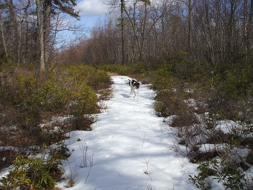
Pleasant trail leading into Perry County:
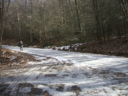
Unexpected icy road walk to end our trip:
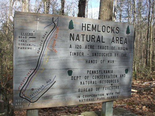
Final destination: