 =
=
Point-to-point distance: 26.7 miles
Day 1: Port Clinton, Furnace Creek (17.4 miles)
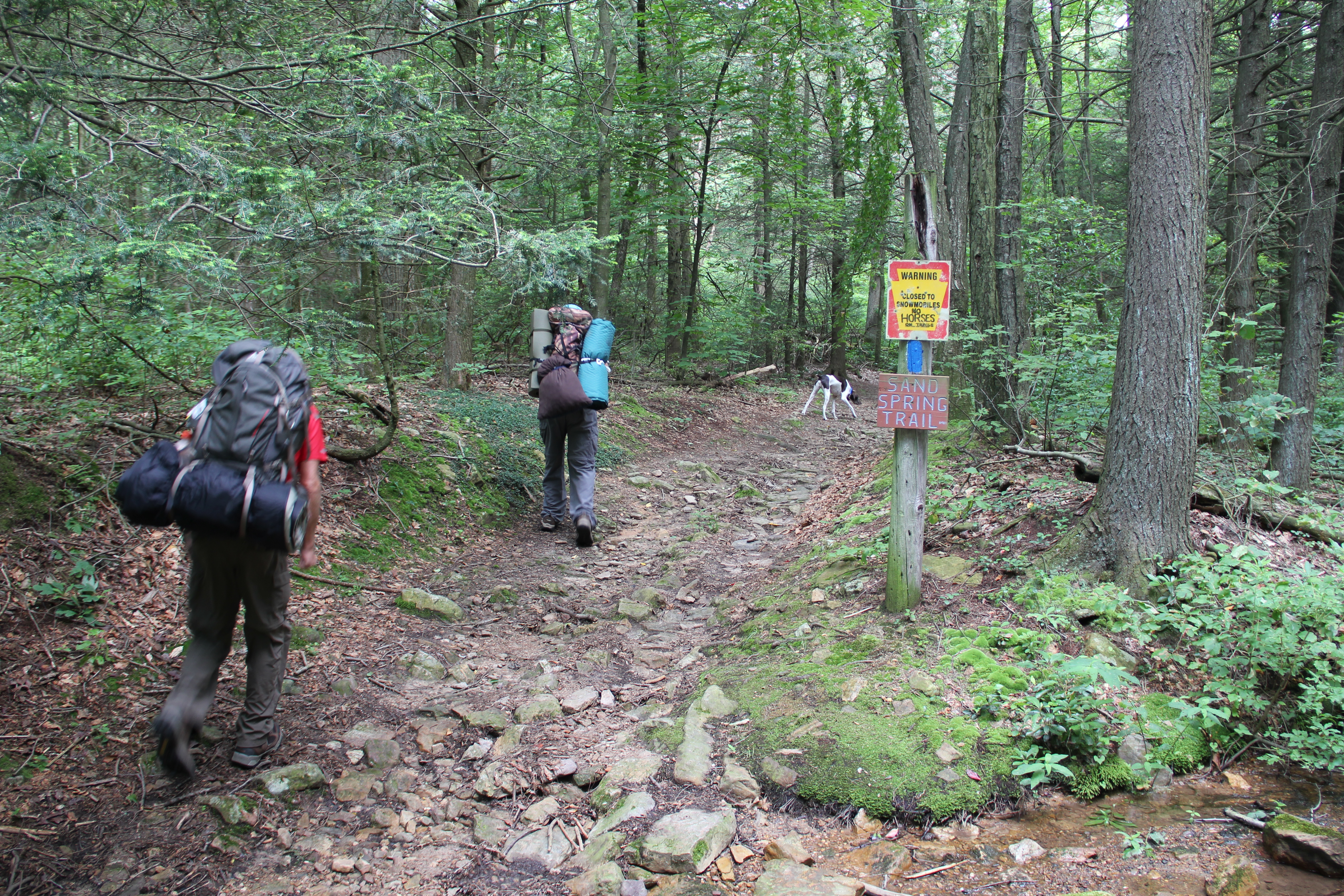
Trying to finish up the miles of Appalachian Trail in Pennsylvania, the journeys are taking us farther and farther from home, so we are going to do some more overnight backpacking trips to save some gas money and travel time. This morning's hike started where we left off last week, at the Sand Spring Trail. The two miles up to the juncture with the A. T. were not nearly as bad as the 2 miles down last time. We were on fresh legs this morning, and despite the heavier packs the trail's rocky difficulties seemed to be over quickly.
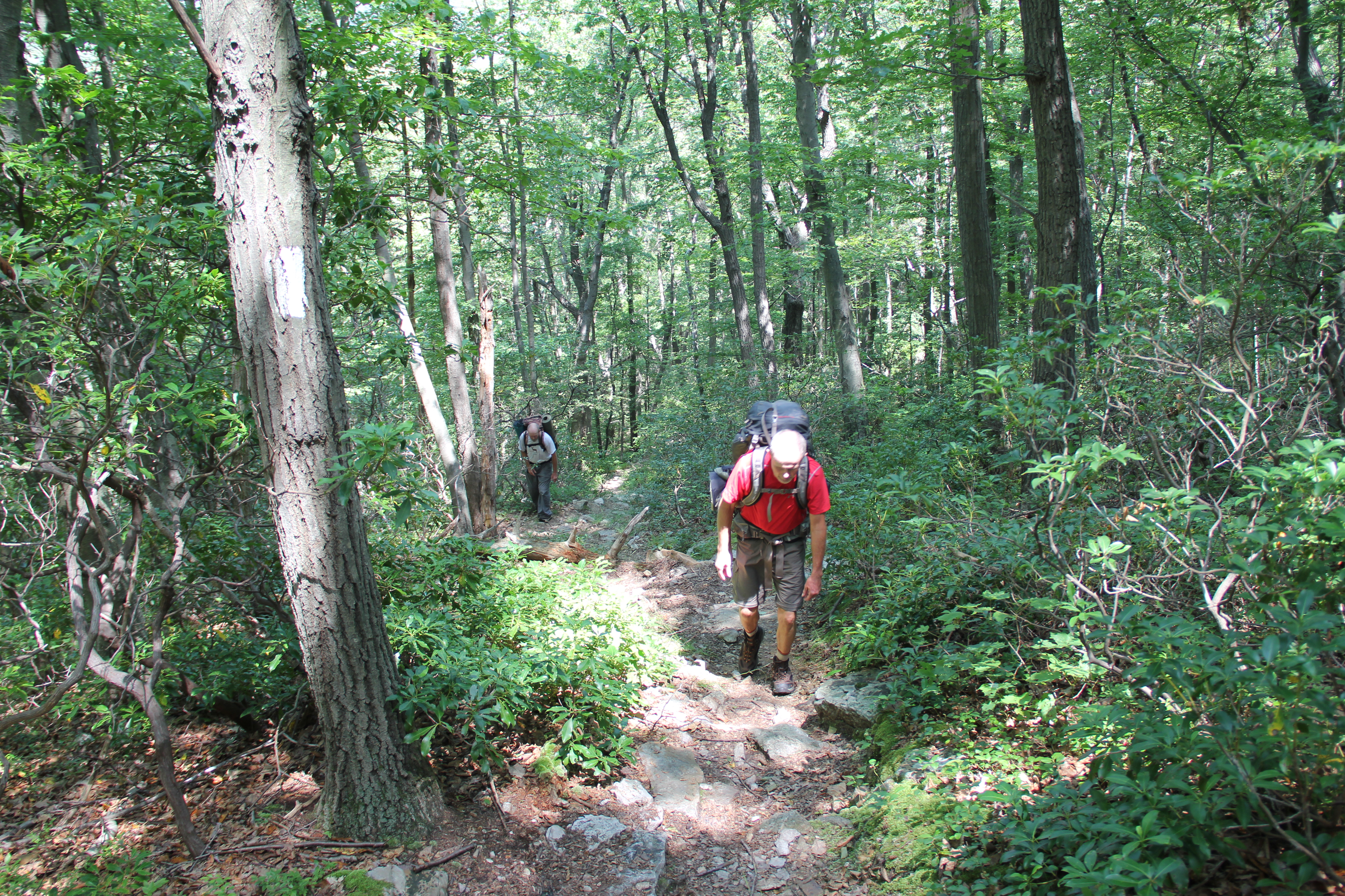
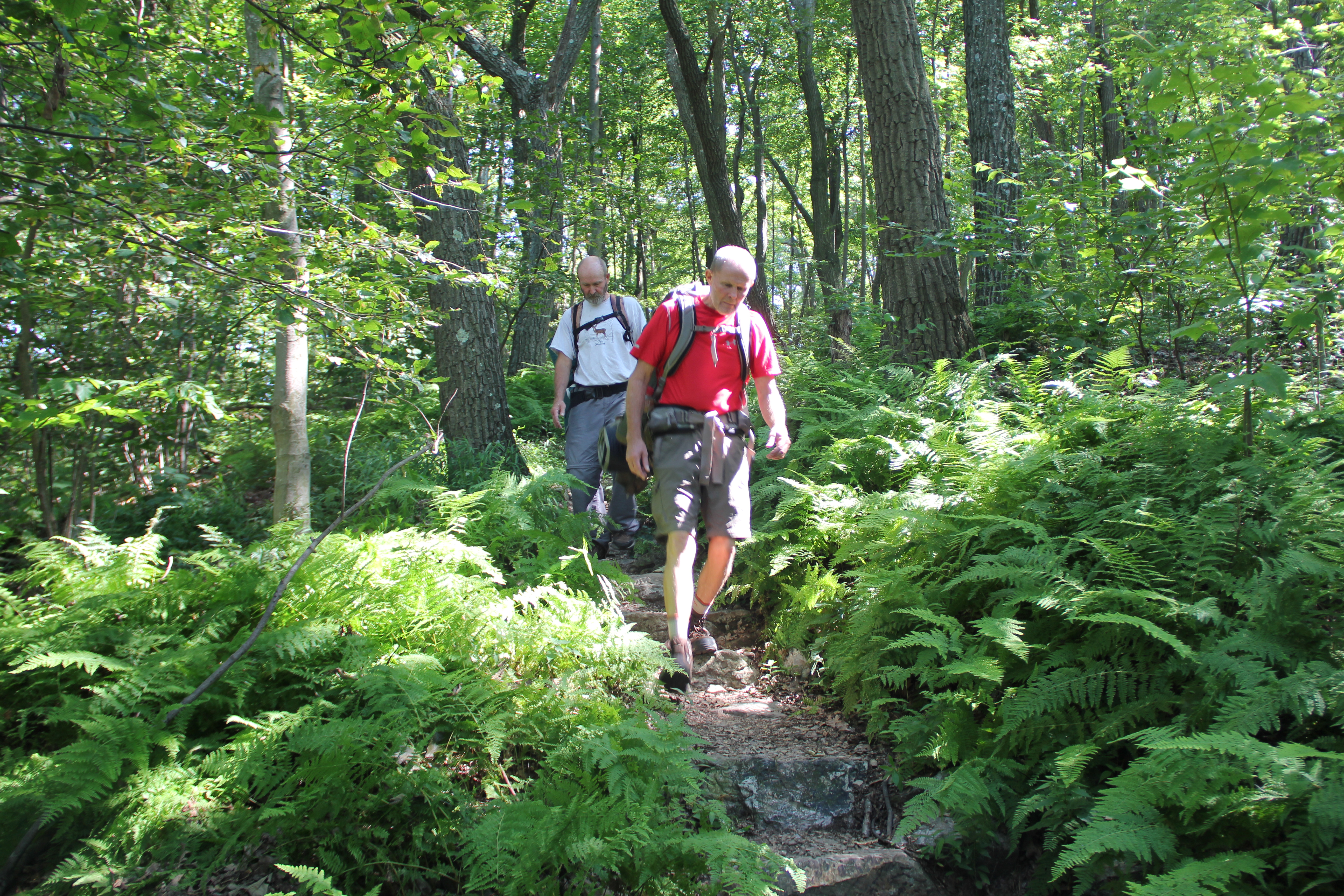
And then there were miles along the A. T., some rocky, some nice, mostly flat until a few miles in--where we had one surprisingly steep climb to lead us to the continuing ridge-line. We mostly had the trail to ourselves, but we bypassed the crowded Auburn Overlook. What we noticed most about the miles of trail today was how overgrown they were: it was hard to walk very far without brushing against briers or weeds or poison ivy on one or both sides. It seems this area is not much of a destination except for through-hikers, and thus not as open as the trail usually is elsewhere.

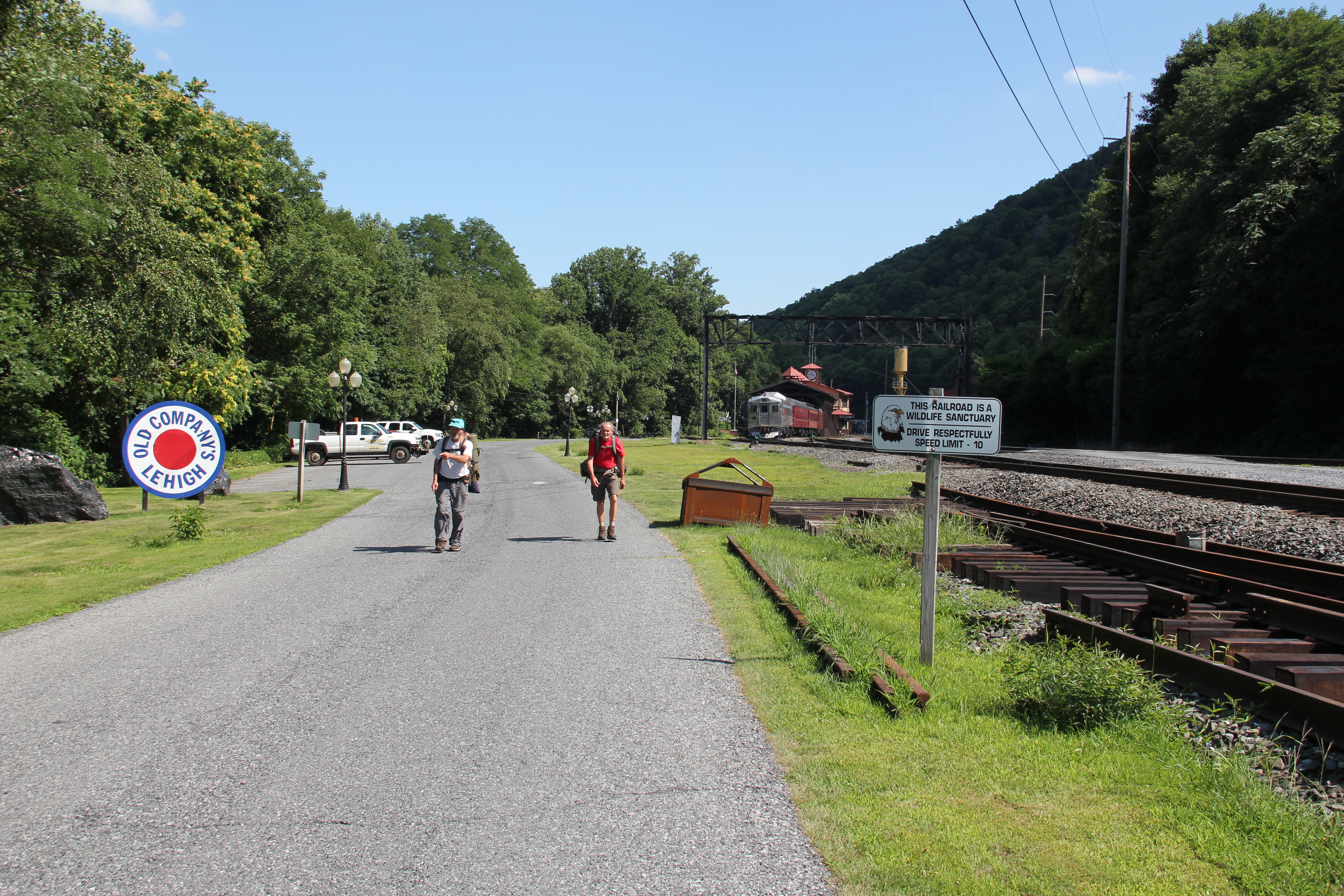
The descent to Port Clinton was steep--some of the steepest A. T. I've experienced so far. We quickly lost over 1000 feet, descending from 1,540 to 400 feet. We hopped across the railroad tracks as we exited the woods, stopped to look at some huge chunks of coal lying in the grass, then continued through the outskirts of Port Clinton. The heat of the sun reflecting off the paved roads prompted us to try to find something to drink, but everything seemed shut down so we had to just keep walking.
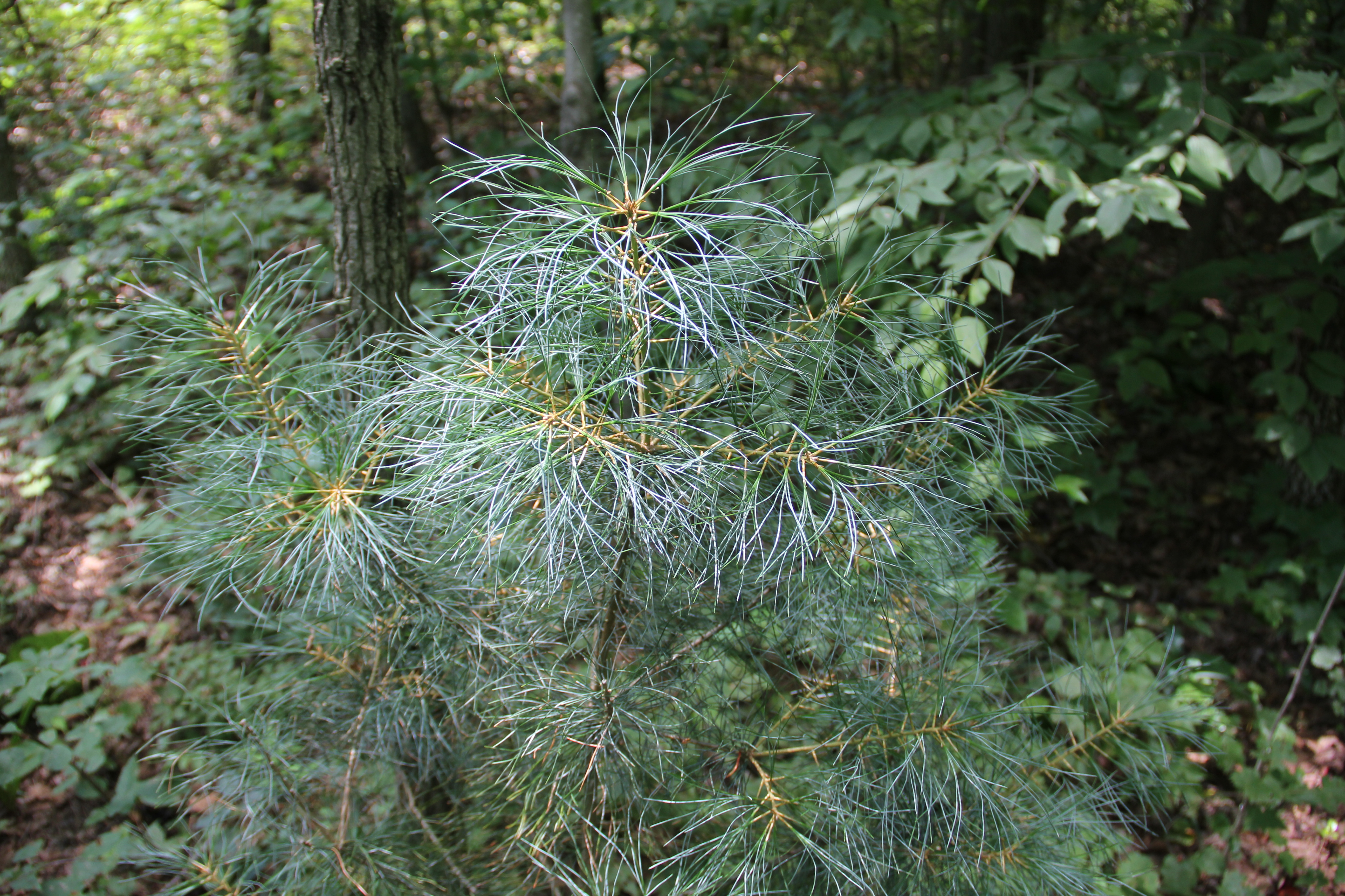
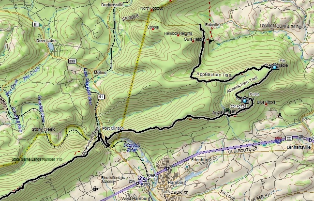
After crossing under the busy Rt. 61, we started a steep but switch-backed climb up the opposite slopes, quickly gaining almost all the elevation we had lost before. With the heavy packs and the heat of the day, this was turning into a very tiring hike already--but we still had some miles to do. The flora continued to be thick, with some of the worst poison ivy tangles of the day crowding the trail as we crested the rocky spine of the desolate ridge.

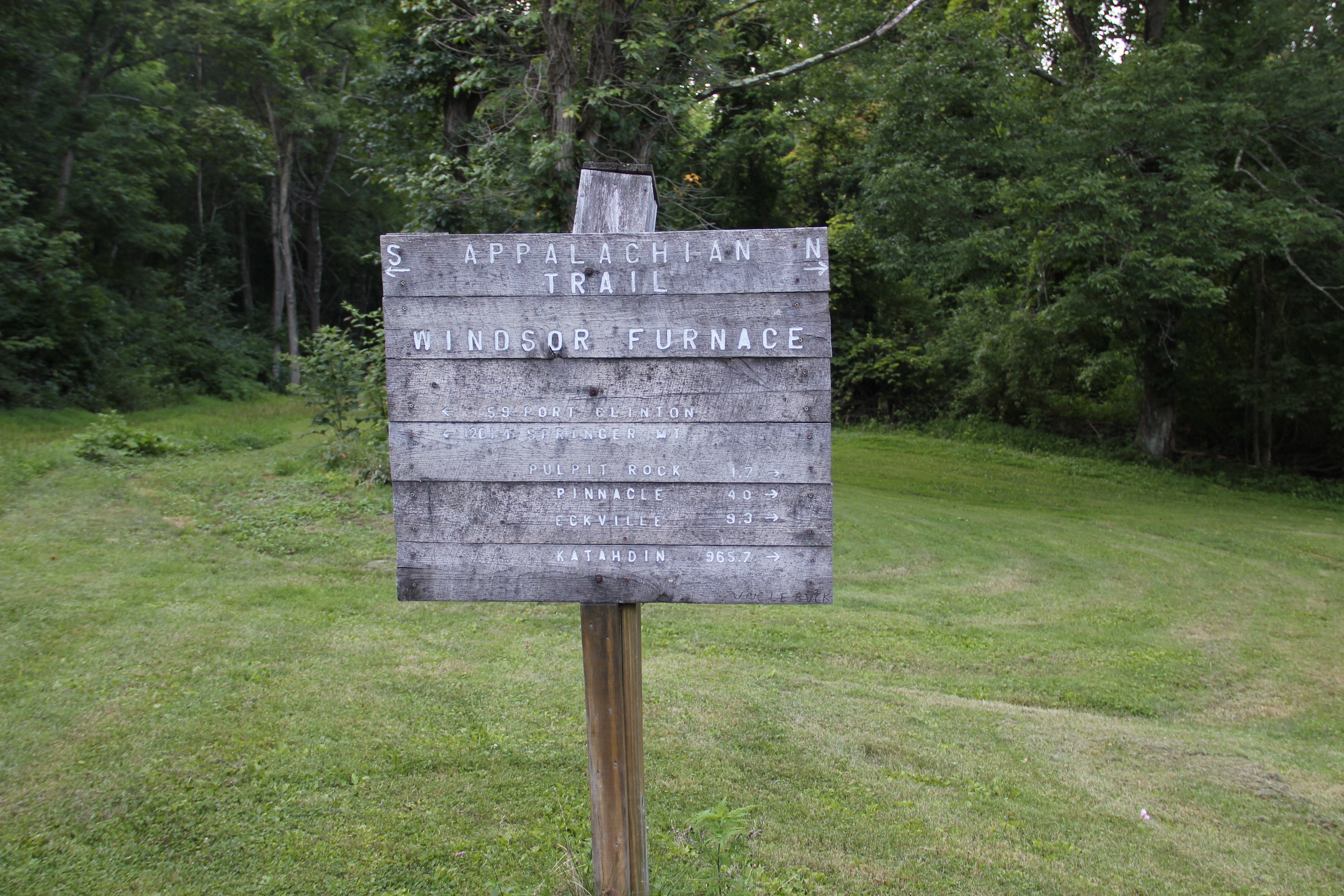
We continued along the spine of the ridge for a while, and as the trail dipped down off the top a couple of through-hikers caught up with us and passed, headed toward the Windsor Furnace Shelter for the night.

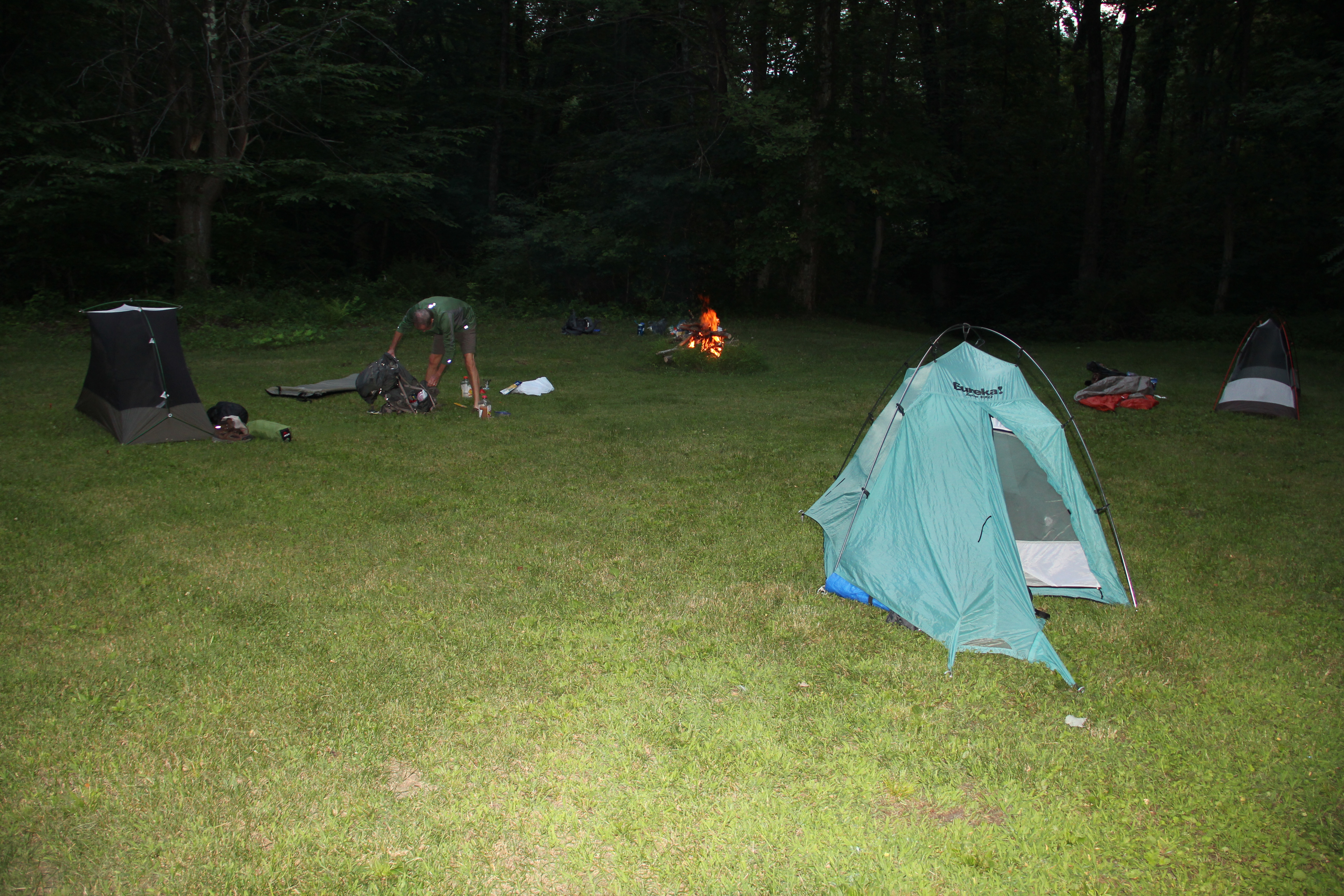
Our destination for the day was just before the shelter, at Furnace Creek. We finally arrived a little after 7pm and 17.4 miles of hiking, tired and ready to lay down. There was mowed grass next to the creek and a fire ring, so we set up camp and cooked some tasty Mountain House meals for dinner. Just before settling in for the night, a bathroom break was cut short by what I'm pretty sure was a copperhead slithering by, so I returned to my tent to stay for the night.
Day 2: Pulpit Rock and The Pinnacle (9.3 miles)
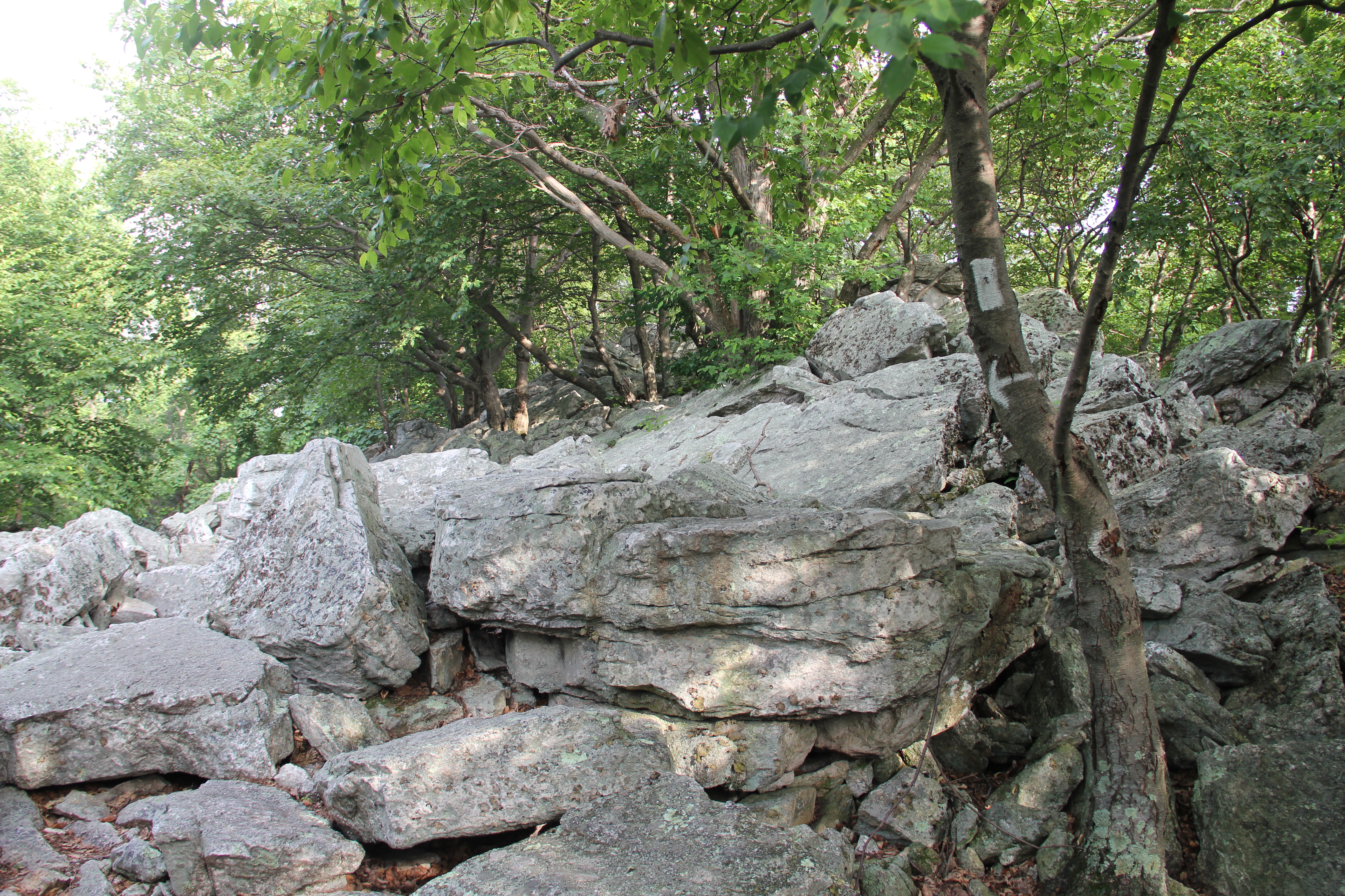
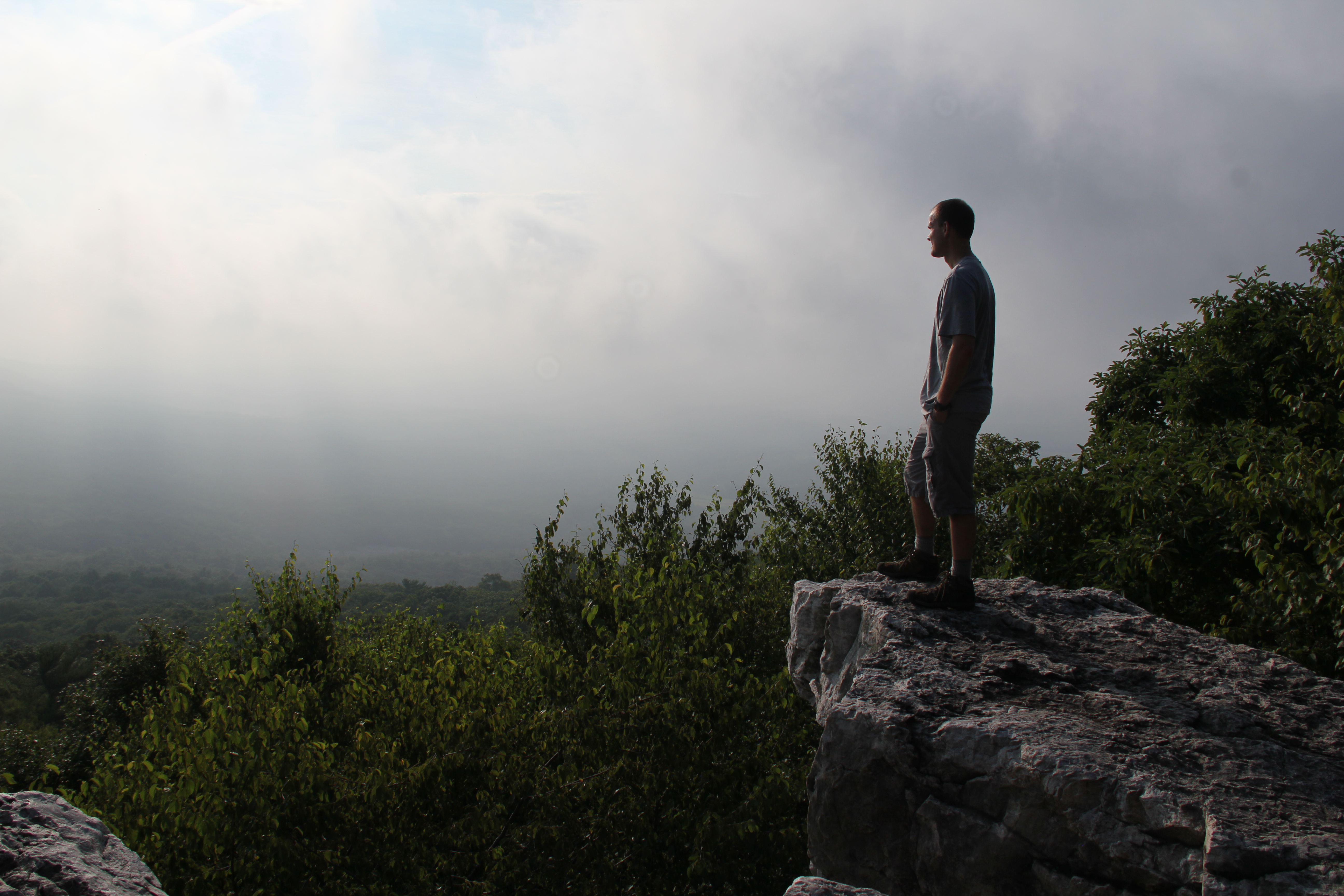
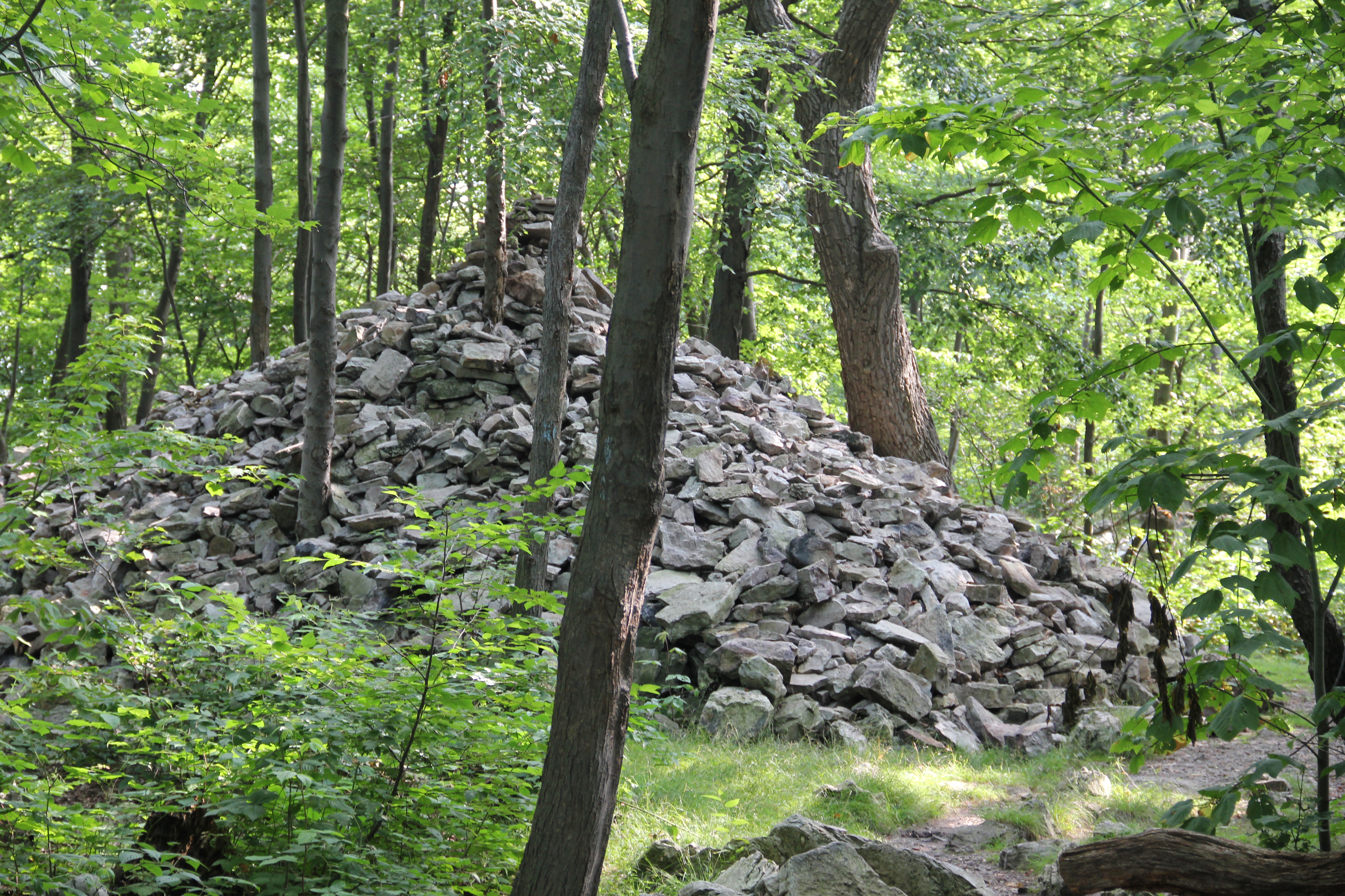
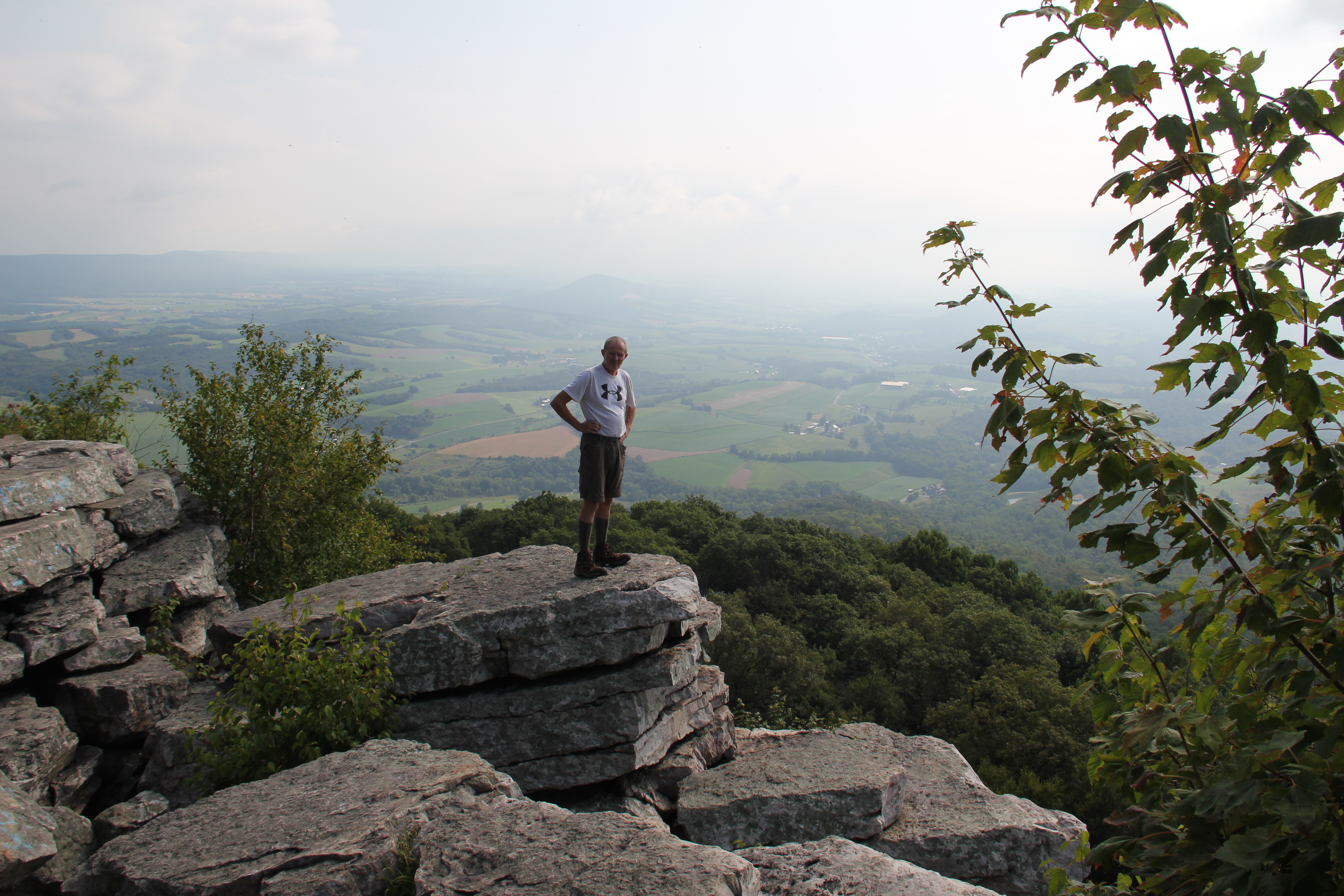
The trail continued mostly flat but still rocky all the way out the plateau to a gargantuan cairn. A faintly-blazed blue marked trail led us beyond this and out to the expanded rocky outcrop of The Pinnacle. The view was indeed a good one, one of the best I've seen in PA, and the rocks invited some exploring. We took a long break here, and with the haze and valley fogs lifting a bit we were able to take some decent pictures of our surroundings.


Our feet were blistering by this point, and shortly after we continued out the trail it became a blessed road-walk on dirt. It would remain like this almost the entire way out, before leaving the road for some easy trail-hiking to our destination parking spot along Hawk Mountain Road. The unique views made today memorable, but otherwise we were glad to be done for the weekend! More power to you through-hikers; I am ready to get back home after two days of that!

We made it to the car by 12:30, then headed to Cabela's to clean up and eat some well-deserved lunch. Besides my buffalo burger, I enjoyed two cups of the best Mountain Dew I've ever tasted.