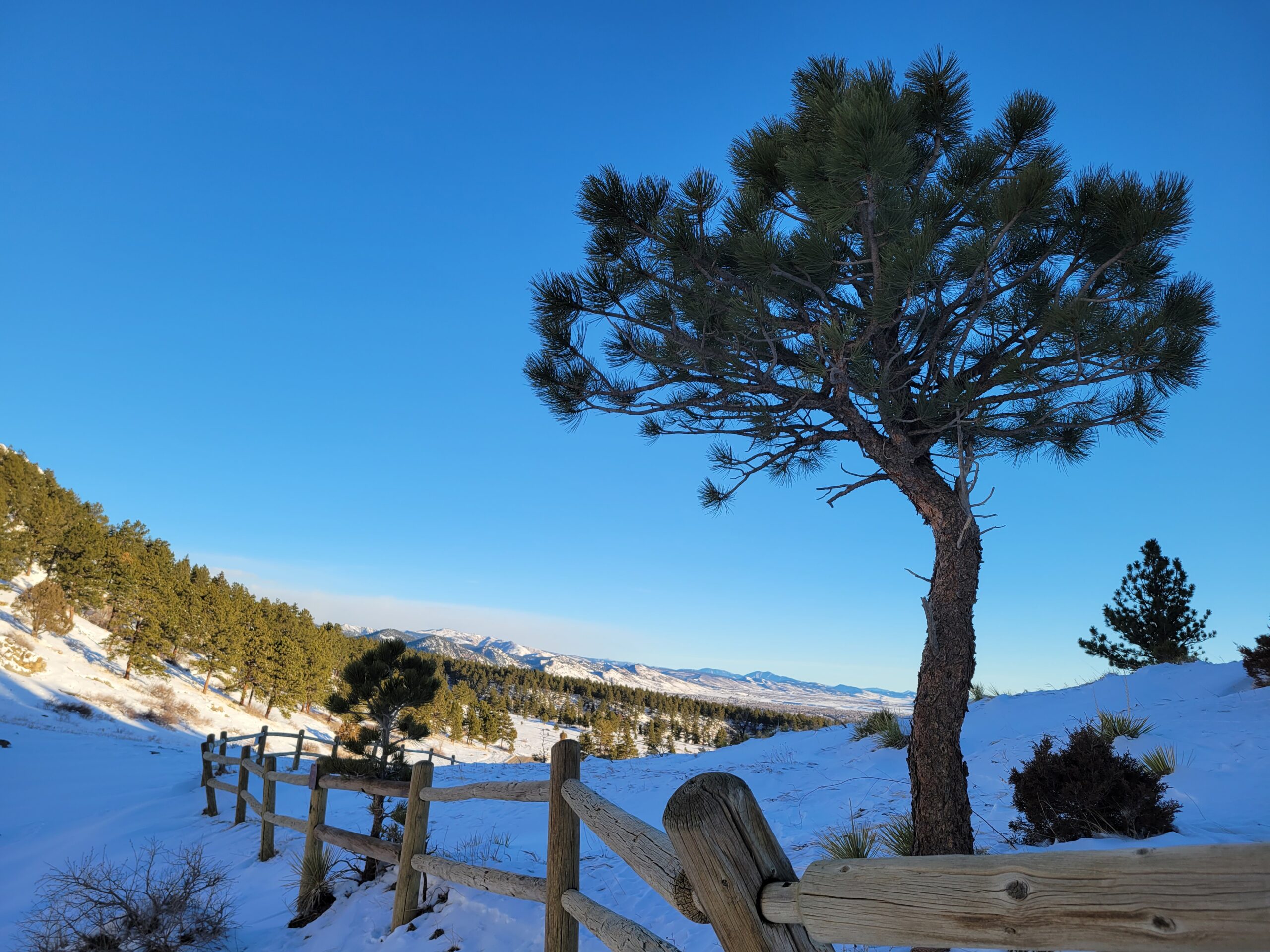
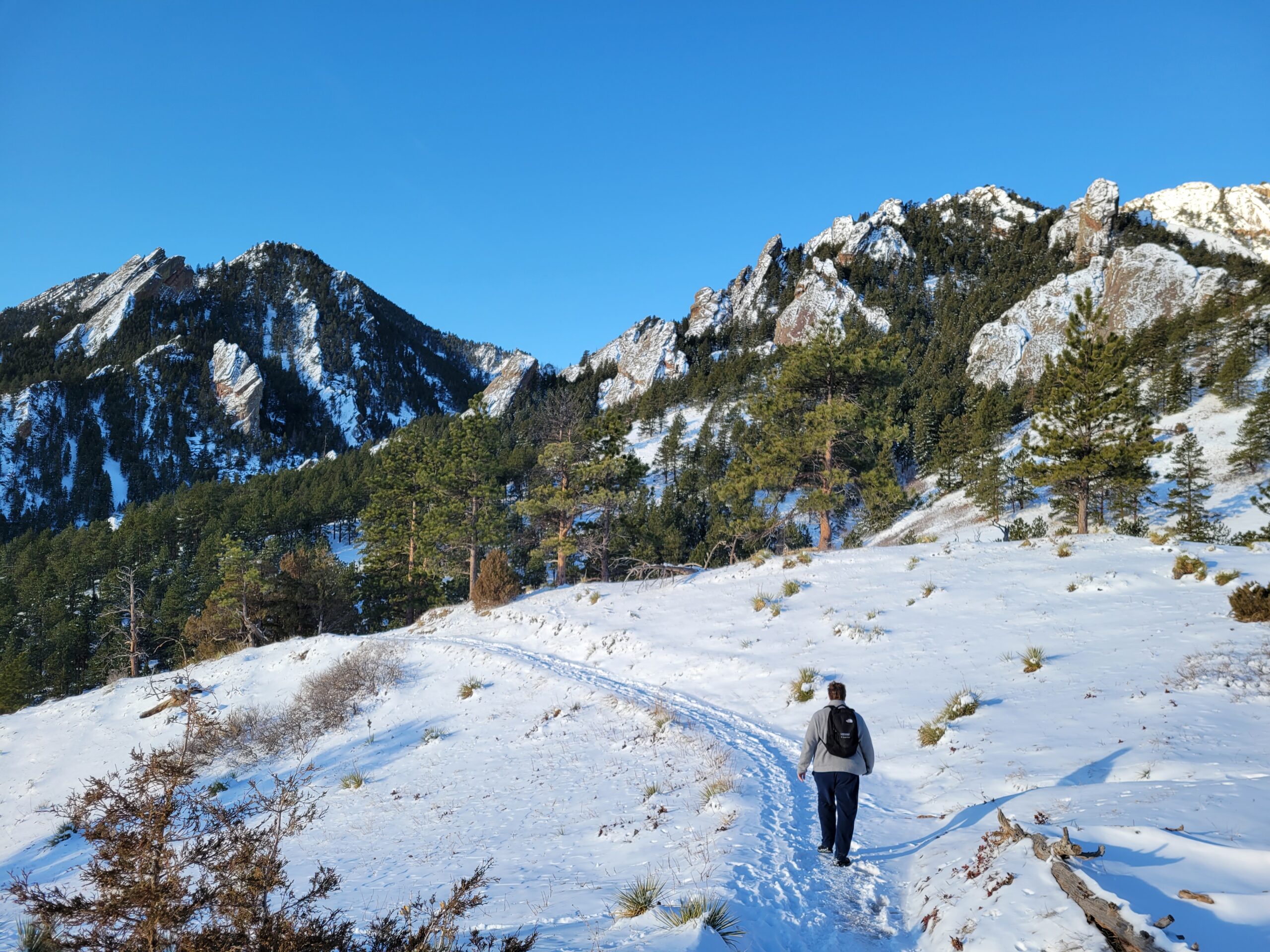
Logan and I took advantage of the crisp, clear February weather and went on a 3.5-mile loop hike. We parked at the National Center for Atmospheric Research (NCAR) trailhead, then followed the NCAR Trail west through this park-like slice of heaven in front of the Flatirons.

Everything was covered in snow, and much of the trail was icy from heavy foot-traffic, but we passed only a few people on this hike. The scenery of the Flatirons felt like just a taste of Colorado high-country, drawing me back in. But today was just about soaking it in from a distance. We turned left at the Table Mesa Trail, then followed the Bear Canyon Trail—more of a road—back down into the valley.

Finally, almost all the way back to Table Mesa Drive, we turned left and followed the easternmost section of the NCAR Trail back up the hill through the evergreens to the parking lot. This was the best sustained workout of the hike, with good views of the northern Flatirons. Ironically because we were so close to it, we couldn’t see the NCAR building for this entire section of trail until we crested the ridge right at the parking lot.
Copyright © 2025 | WordPress Theme by MH Themes
