13-ish miles roundtrip
Day 1: Ice Lake, Island Lake, Hypothermia
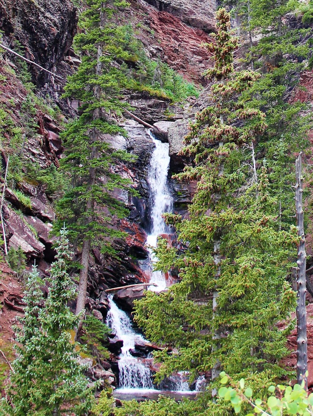
The hike to Ice Lake is without a doubt a Colorado highlight. Wildflowers and waterfalls abound, along with unique rock formations, avalanche chutes, mining ruins, mountain scenery, and wildlife. Oh, and lakes!

All that being said, I never planned to hike to Ice Lake this week. Our destination had been a multi-day backpack to the Weminuche. Two thousand miles of driving had us set up for our attempt, but our plans were derailed—literally—when a section of the Silverton-Durango Railroad’s tracks were damaged in a landslide, shutting down the train for the days we had reserved to ride.


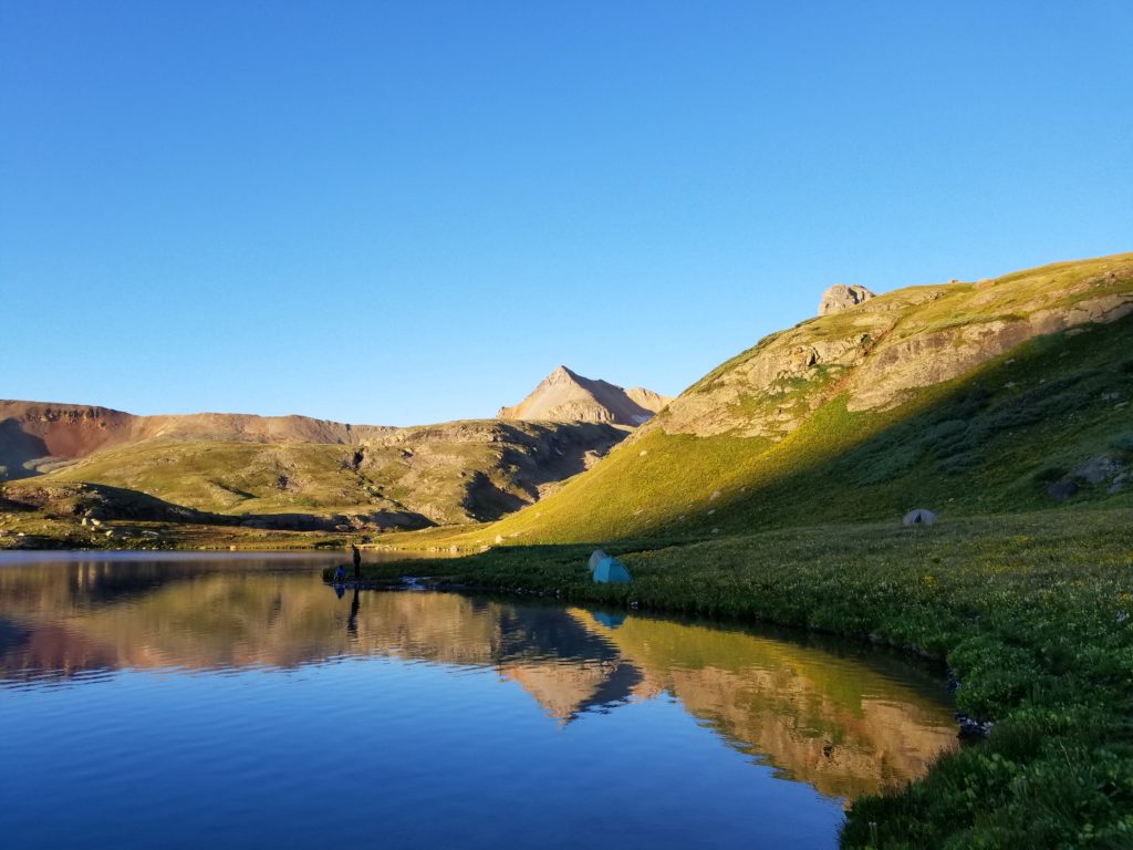
 Nearing timberline, we spent half an hour under a tarp to keep dry as a rain shower pushed through the valley. Finally, the weather passed, and before long we found ourselves arriving at beautiful, deep blue Ice Lake.


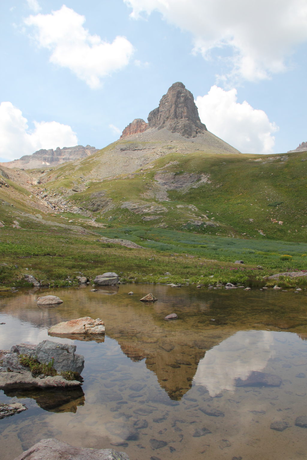
 We had seen a lot of wildflowers below, but there was color everywhere surrounding the lake, with more of a variety of wildflowers than I had ever seen in one place. Besides the color of the lake and the flowers, the mountains themselves were striped with different hues of orange and gray.


 Happy we’d decided to take two days to enjoy this area, we set up camp on the opposite side of the lake and prepared dinner. After eating our Mountain House meals—and taking lots of pictures—we rounded the lake again to start the hike over to Island Lake.


 We had been enjoying the view of Island Lake for scarcely a few seconds when we noticed a group of people walking along the main trail. Right away, I could see something was off. It was a group of teenagers, most wearing only shorts and t-shirts, and one of them being carried by the others. Several of them were shivering, and all were moving very slowly.

We met at the other side of the lake. I got two of the boys into my zero-degree bag and Greg heated up water for them, and we told the others who were left—still standing there shivering—to head down the mountain as quickly as possible and join their friends or family at the trailhead. It was almost dark now, but thankfully they at least had lights.
Now, crazily, thunder started booming again as dark clouds filled the sky. I rushed over to my tent, then dragged it around the lake to provide shelter in case storms set in.
Thankfully, by the time I got back to everyone, the two in the sleeping bag were seeming much better, and the cramps had subsided enough that they could both walk on their own. Wanting to avoid compounding hypothermia with altitude sickness, I agreed they should head down as quickly as possible to join their friends. I accompanied them to timberline as darkness set in. They were moving quickly by that time.
Using the InReach, I was able to coordinate a 911 call with my wife, who had paramedics dispatch to the trailhead to make sure they would be treated when they arrived. I could not stay with them any longer, however, as I needed to rejoin Dad and Greg back up at camp. Our gear was in disarray after the events of the evening, and they had to hunker down in their tents as rain and darkness set in. It rained on me the whole way back up the trail to Ice Lake, the forecasted “clear evening” taking its time in arriving.
My tent now on the opposite side of the lake from Dad and Greg, we were able to communicate via radio. All of us were okay and settled in for the night by 10:45, although it would take me several more hours to get to sleep. As far as we know, the teens did all make it out of the mountain safely. Eventually the sky cleared, and the moon and stars came out, as promised.
Day 2: Vermilion and Fuller Peaks
 The morning calm at Ice Lake was a welcome change after the previous night’s events. Greg helped by heating water for breakfast as Dad and I brought my tent back around the lake and I worked on reorganizing all my gear.
 It was a little after 7:30 when we hit the trail. The colorful wildflowers continued to impress, the whole way up the slopes above the upper Ice Lake and Fuller Lake.
 Cairns kept us on track most of the way into the basin, as the grass and wildflowers gave way to shards of talus and more evidence of mining activities. There were a few patches of ice, which were easily bypassed on the right.


 Finally, we were on the dreaded steep-looking red-orange slopes leading to the Fuller-Vermilion saddle. In actuality, the switch-backed trail made easy work of the climb through the loose talus. Before we knew it, we were at 13,500 feet, ready to tackle the final ridge to the summit of Vermilion Peak.
 The trail was nice for a while, bypassing to the left all the ugly crumbling cliffs that make up the upper mountain. We made quick progress all the way to within 200 feet of the summit, when the terrain became more intimidating. The airy ledges narrowed, and the loose and steep 100-foot dirt chute loomed ahead.
 Dad and Greg decided to stop there. I was bummed they would not make the summit, but was happy they made the right decision to not do something they weren’t comfortable with. The chute itself was tedious and steep. The loose slate-lock rock on either wall was not very solid for handholds, and I wouldn’t have been comfortable relying on the rock if I had less experience. A slide or fall here would not be ideal.
 Above this, only the final 100-foot summit pyramid remained. There was a bit of easy scrambling to the apex, where I found I was in fact on a false summit. I ditched my pack to do the final 20-foot tightrope walk along the airy spine to the narrow summit, where I arrived at 10:50am. A neat spot!


 Back at Ice Lake, we packed up camp and started down the trail one final time, with heavy packs on our backs once again.


 Our nickname for the large spruces through which many of the steepest switchbacks pass to gain altitude below the lower basin is “The Enchanted Forest.” Partway into this shady area, a storm whipped up out of nowhere, dumping rain and hail on us for several minutes.
 The rest of the hike out was uneventful, though we did encounter a couple more marmots. Holly and Uncle John hiked about a quarter of a mile up the trail to meet us, and at 4:10 we arrived back at the trailhead.

