Grizzly Peak A (13,988'): 9.6 miles, 3,428 feet elevation gain
Grizzly Lake
Time to climb Colorado's highest thirteener.
Grizzly Peak Video:
Though drive-able with a two-wheel drive car, the Lincoln Creek Road was rough as promised, and about at the limits of the rental Corolla I was driving. Fortunately I made it to the Grizzly Lake Trailhead without incident, the first vehicle to park there at 6:15 a.m. Overnight rain had just come to an end as I started hiking. I was encouraged by the clearing skies, but meanwhile got my legs and feet soaked by the willows crowding the path.
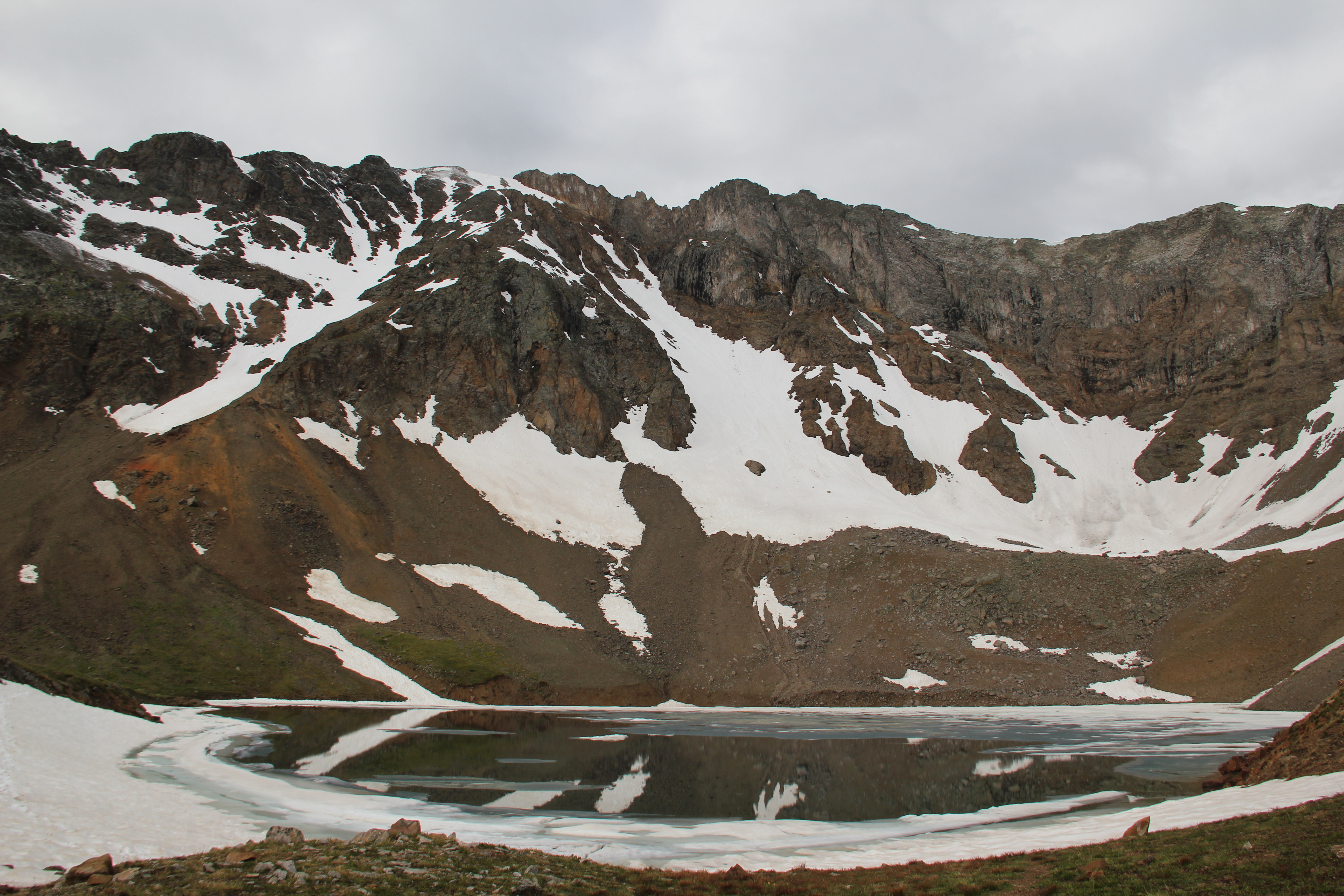
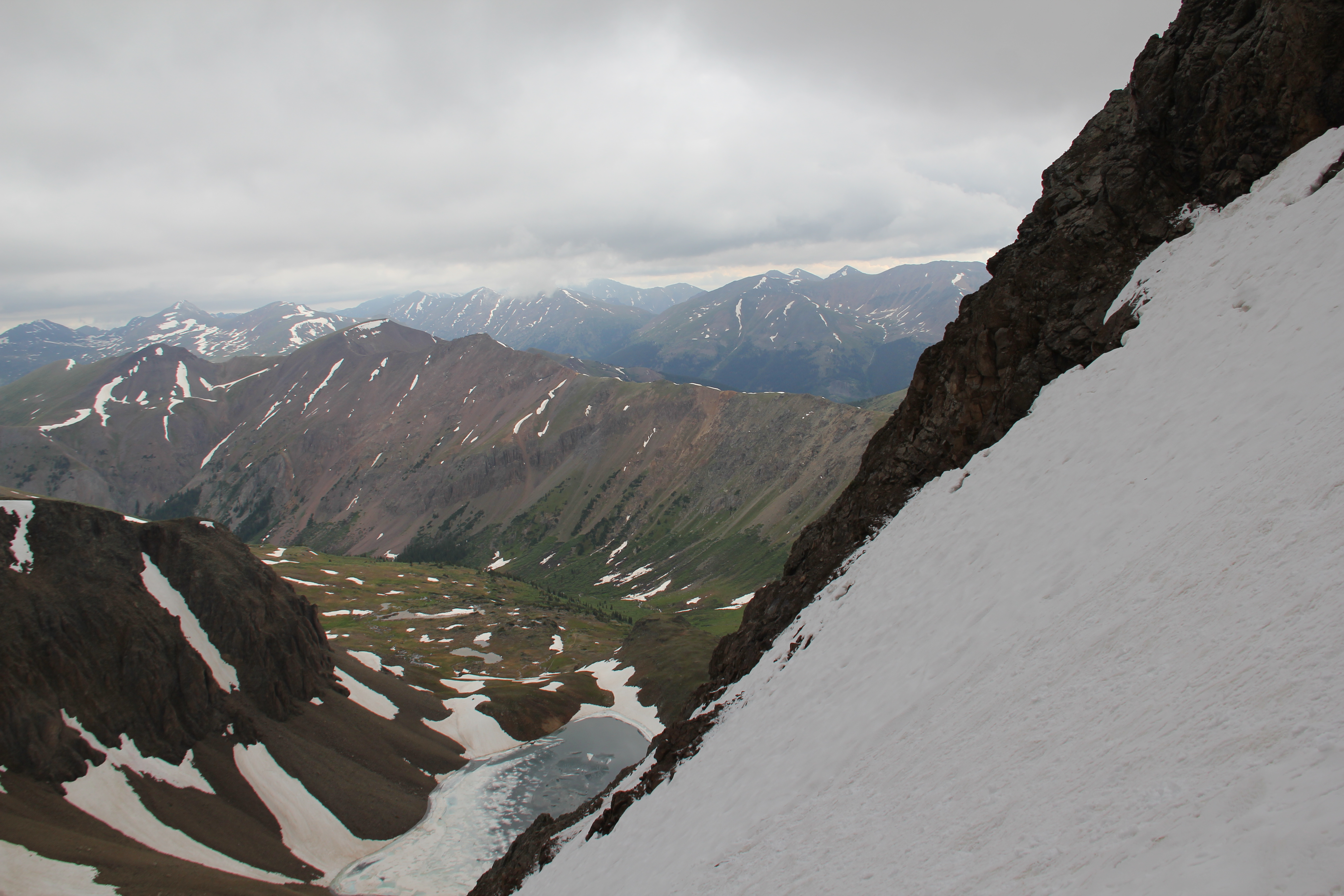
I made it to Grizzly Lake via the scenic trail in just under two hours. There was still a good bit of ice and snow at the edges of the lake, a cold scene for the 3rd of July.
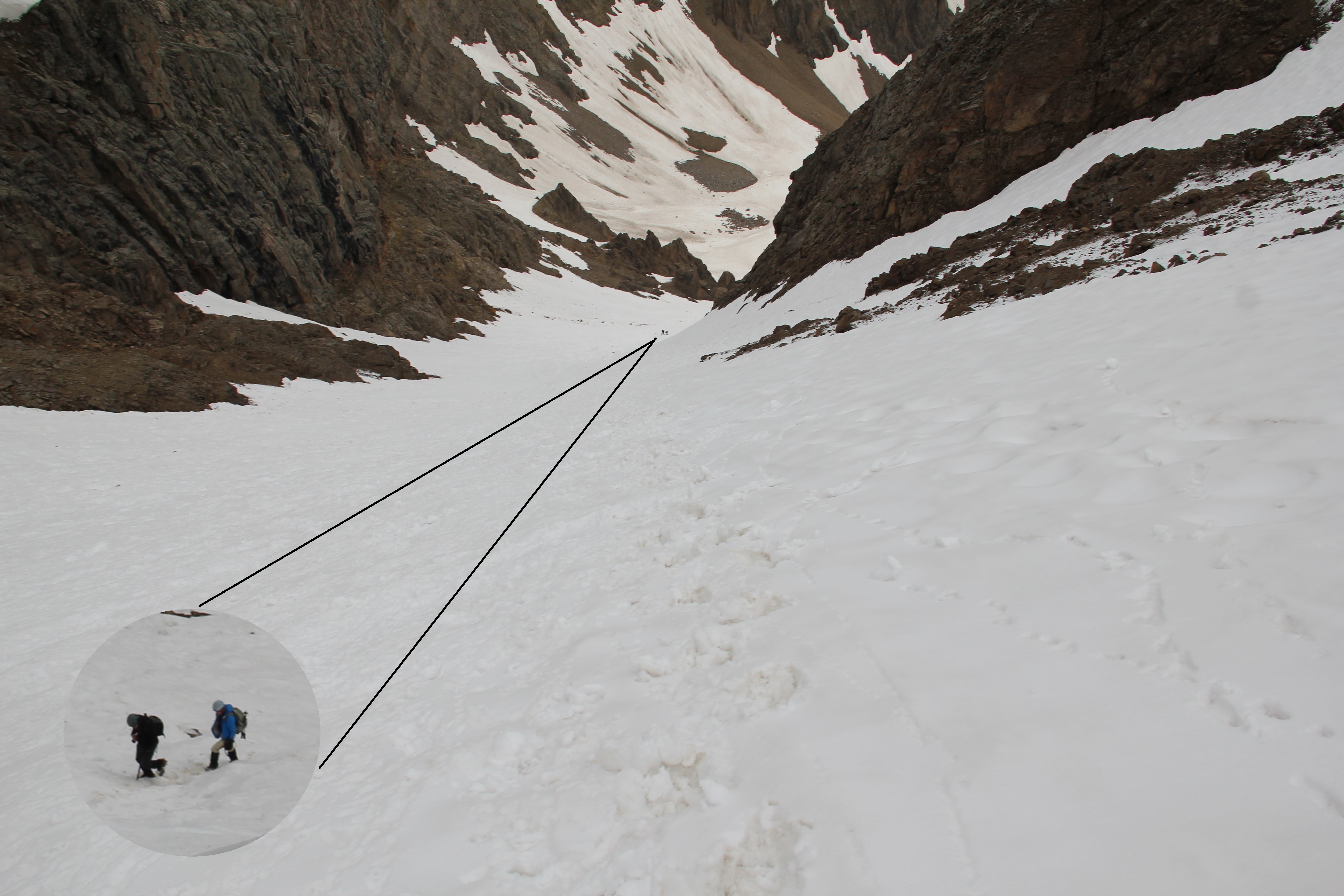
Rising behind the lake was the Grizzly Couloir, which has been high on my snow-climb list for some time. Today the snow conditions were excellent. After a brief hike up the talus field above the lake, I strapped on my crampons to climb the continuous snow the rest of the way up to the ridge. About two-thirds of the way up, a watermelon-sized rock came careening down toward me. I ducked out of the way and braced myself, but fortunately it bounced harmlessly to my left. It just goes to show that even where rock fall is not as common, it still happens. The mountains are always falling apart.
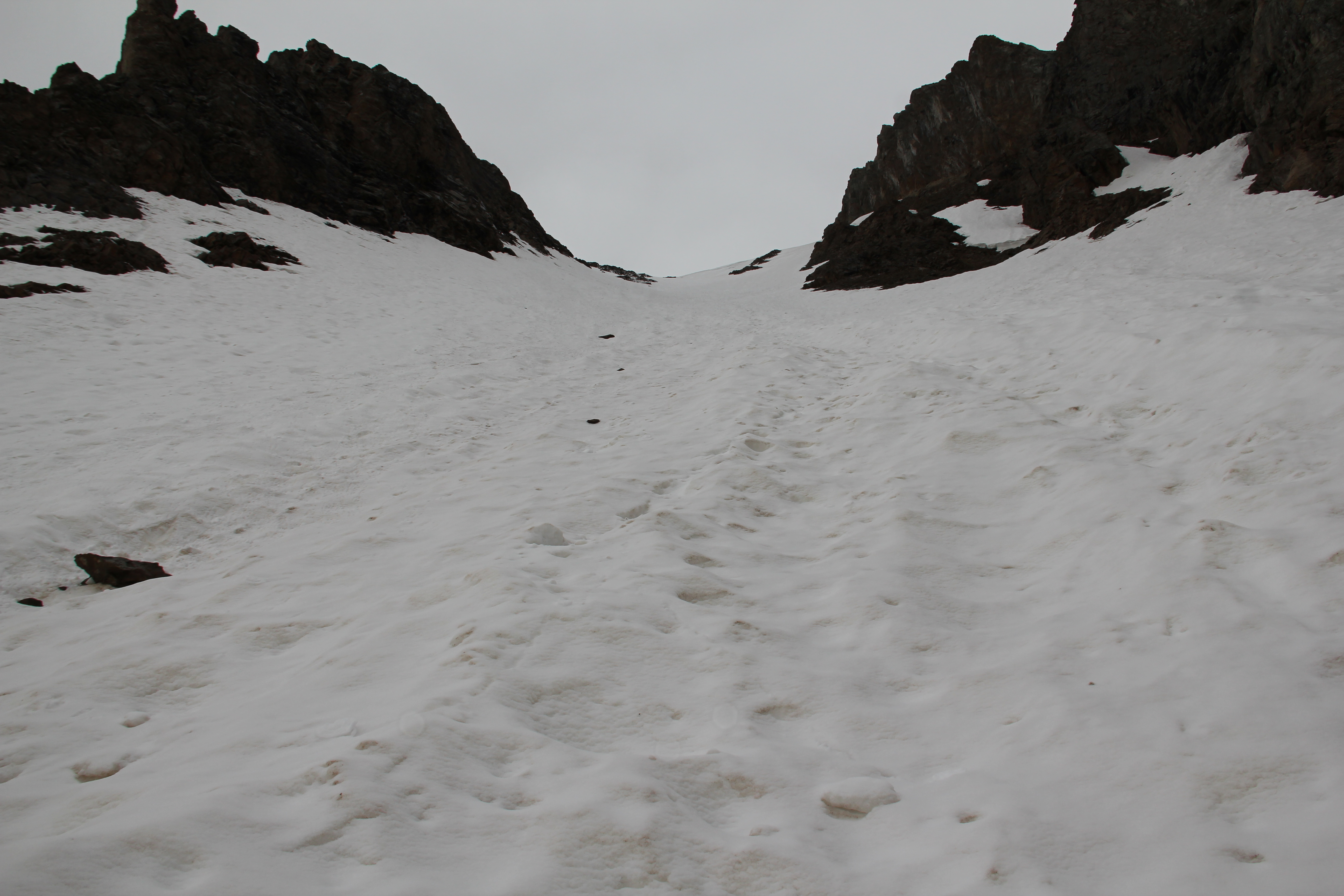
The couloir steepened near the top, culminating in a sharp apex for an exciting finish to the snow climbing.
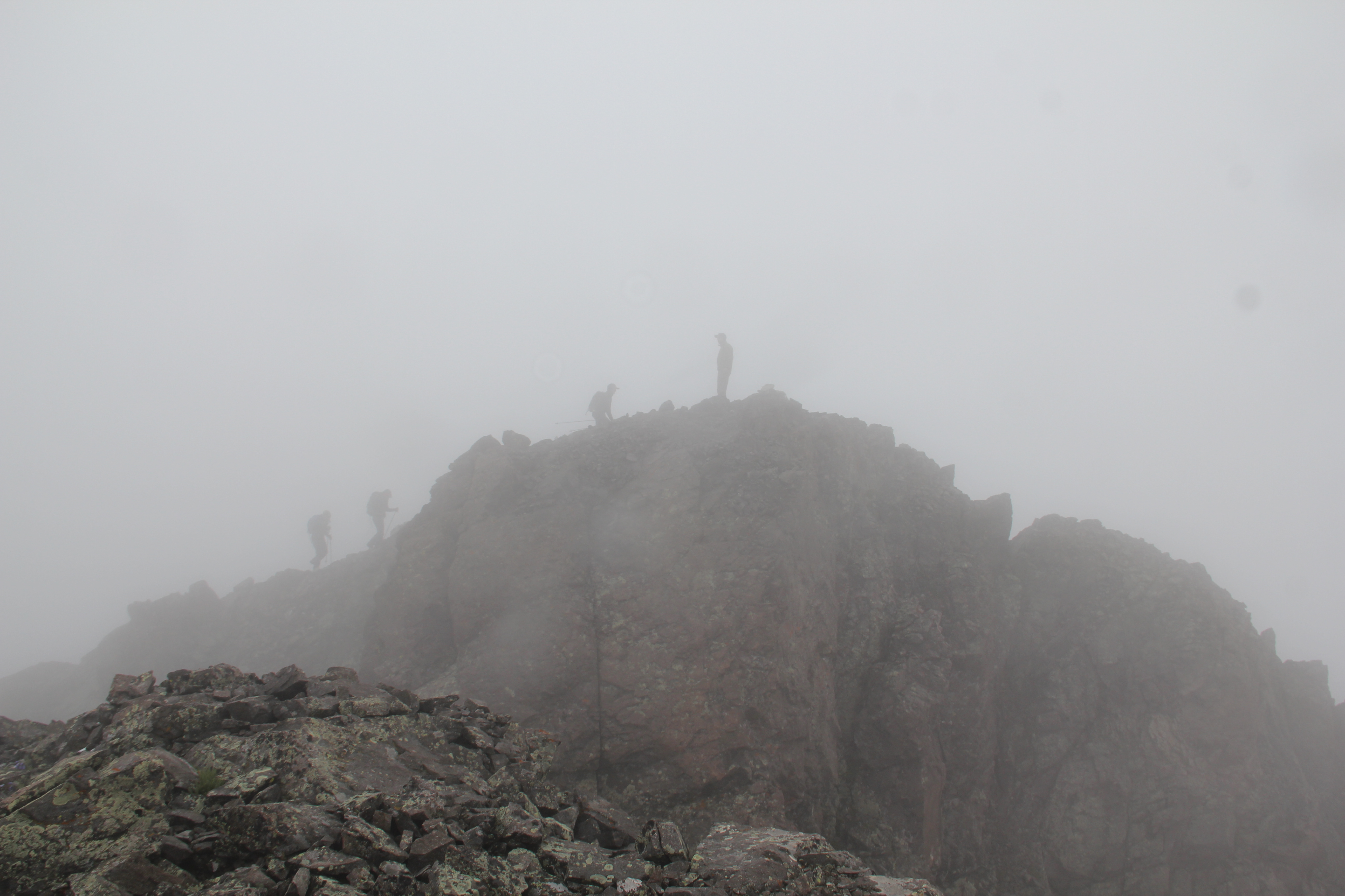
As I neared the ridge, low clouds descended onto the mountain and all its surroundings. A dense fog blanketed everything by the time I stepped onto the solid rock above the couloir, and my visibility would be next to zero while I was on the ridge. It was a short, fun scramble to the summit, where I stayed only about five minutes. While I was there a couple of snow flakes actually hit me along with a stiff wind.
This turned out to be a popular summit today. Just before I ascended into the fog, I had caught a glimpse of a couple climbers far below me in the couloir. Then just after leaving the summit, I heard voices behind me. I could make out the forms of at least four people and a dog stepping onto the summit. We shouted brief greetings to each other; turns out they had come up from McNasser Gulch.
Summit.
However, from here nobody seemed to be going the direction I was. Completing my loop tour of Grizzly, I kept to the ridge and headed down toward the Grizzly-Garfield saddle. This was some more fun scrambling, followed by an easy trail down to the dip in the ridge.


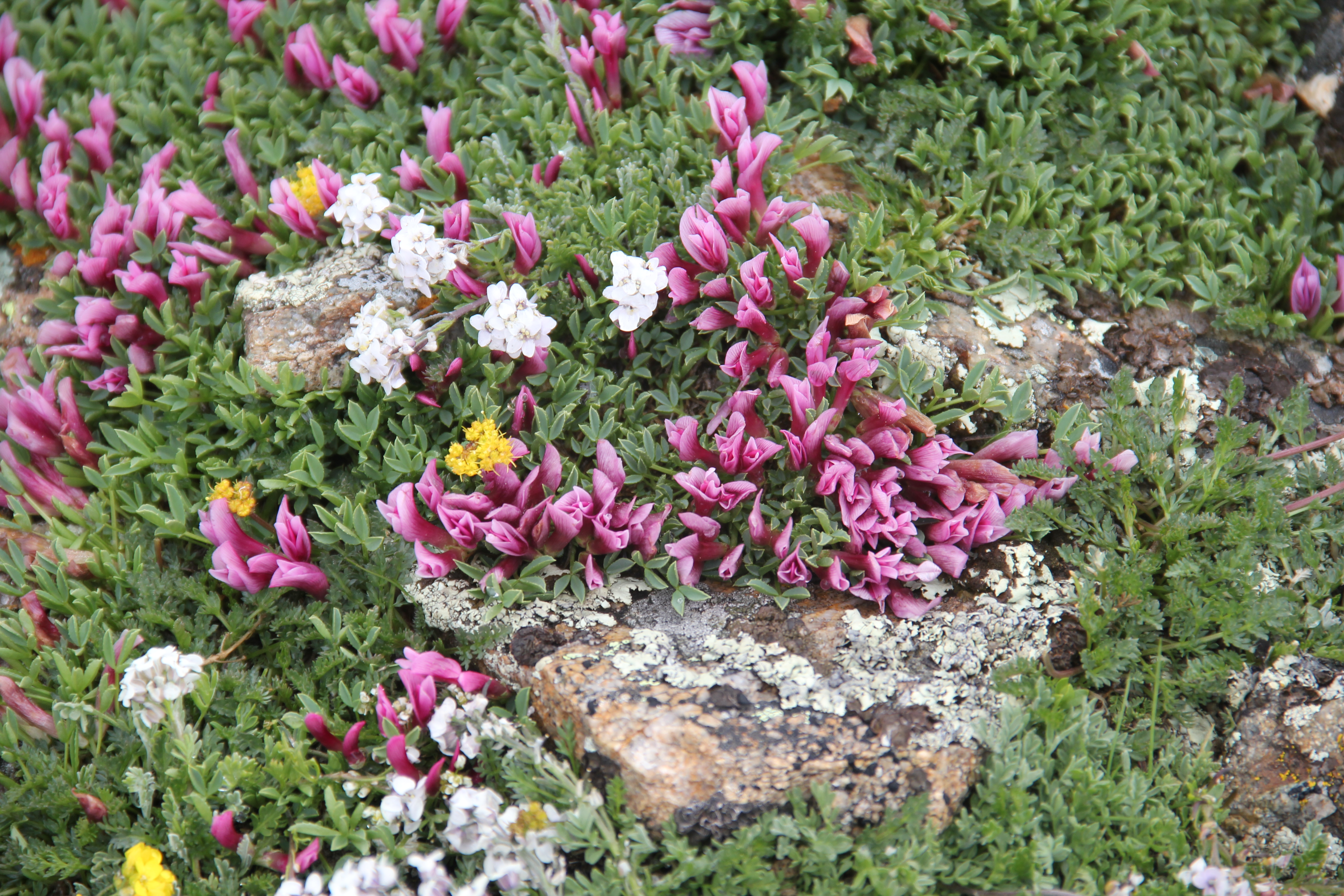
Color amidst an otherwise bleak landscape.
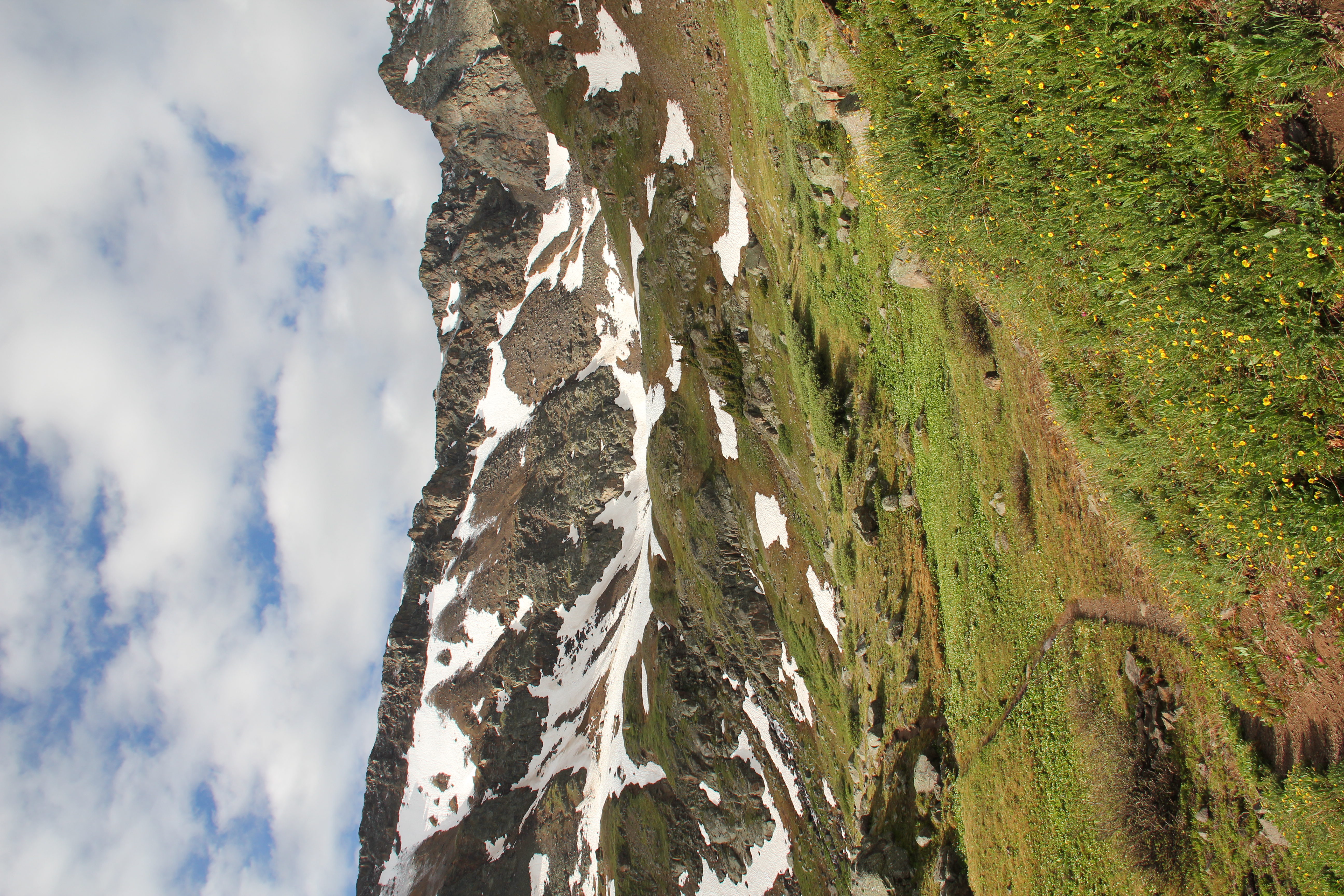
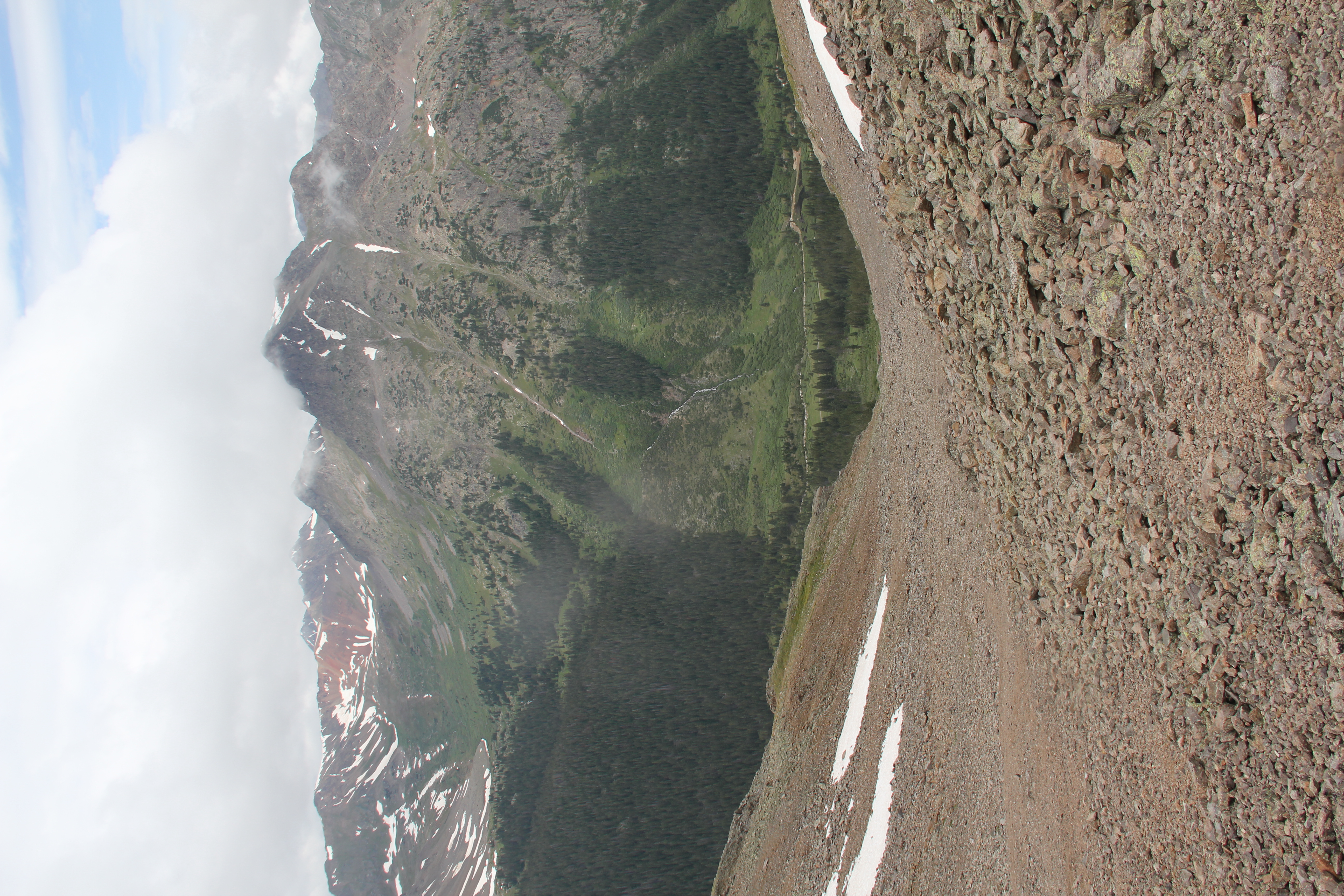
Now back below the fog, I had a clear view of the descent below me to the valley floor. It would turn out to be a lot more tedious than I expected. At first I made good time with the steep scree-skiing, but below this I actually found the footing to be more difficult on pebbly grass slopes. Then I followed zigzagging game trails down through the willows and scrubby trees: lots of good old-fashioned bushwhacking to the bottom. The final couple miles closed the loop with nice easy walking on the four-wheel drive road back to where I was parked. Just a little under seven hours round-trip.
The Long Way Down