Yellowstone's Hoyt and Avalanche: 6.5 miles, ~3,000 feet elevation gain
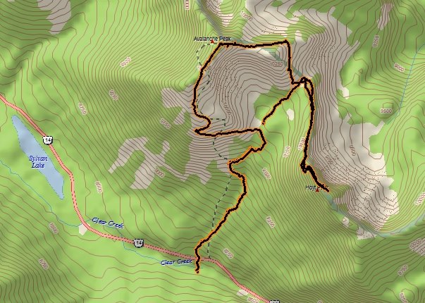
The Hoyt-Avalanche traverse is a fun one in the southeastern part of Yellowstone. The drive through Hayden Valley offered some photo ops before we even arrived at our starting point for the day.
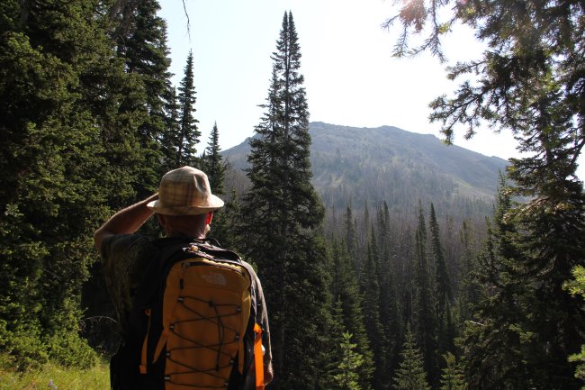
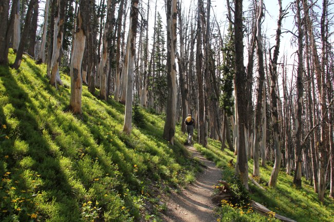
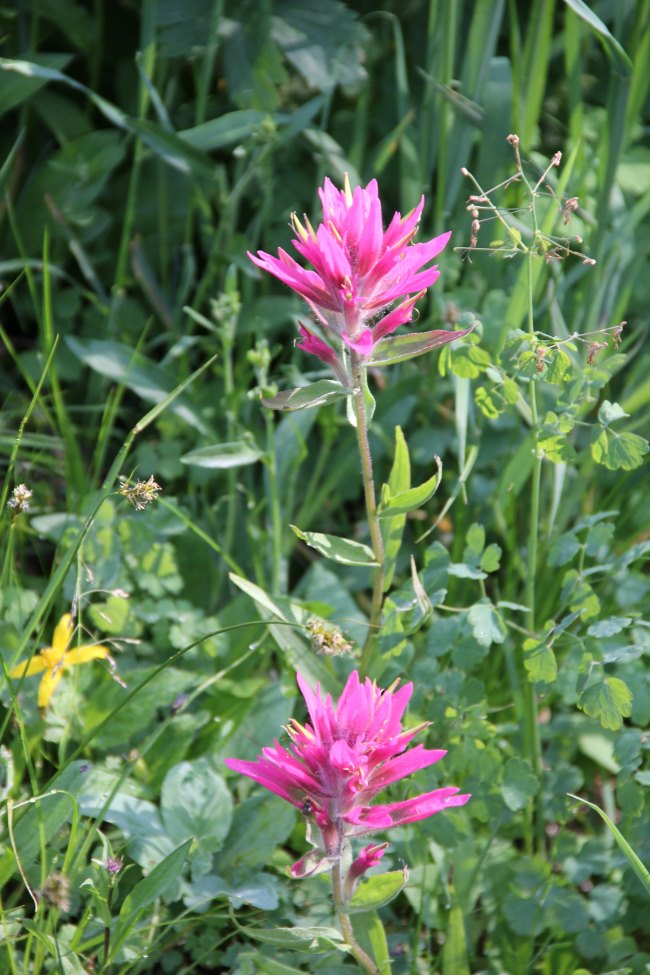
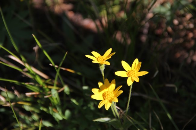
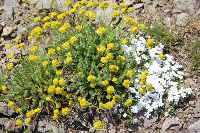
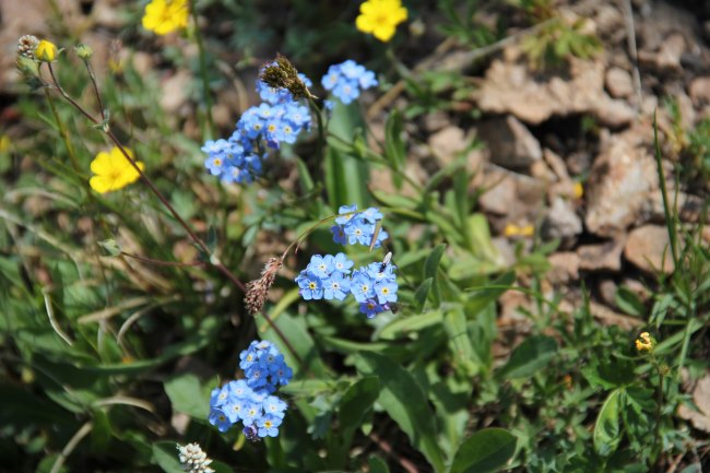
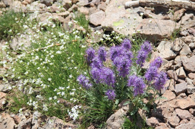
Dad and I began hiking from the Avalanche trailhead at 8am, and we were immediately losing our breath. The trail did not waste any time in gaining elevation, and the first mile was unrelentingly steep. During this part of the hike there was an interesting transition from lush evergreen forest to completely dead woods. Beneath the dead trees, however, was a carpet of lush greenery and wildflowers.
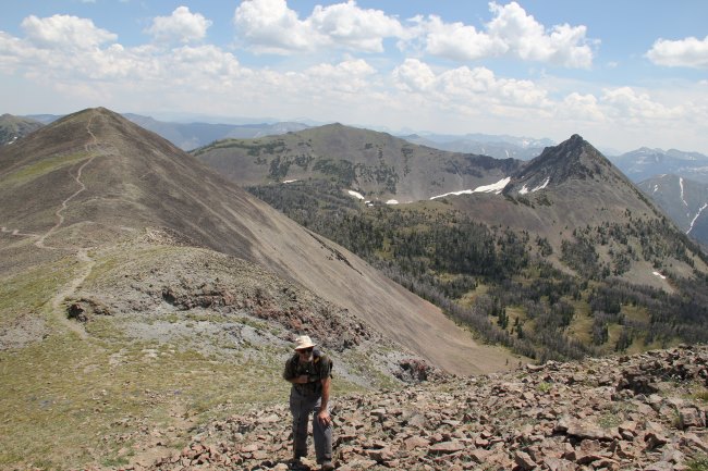
We didn't have any trouble finding the turn off of the main trail. The obvious climber's trail led through some scrubby trees up to the pleasant grassy Avalanche-Hoyt saddle. From here we had a great view of both peaks, and with Hoyt being the first on our itinerary we turned right and headed up Hoyt's north ridge.
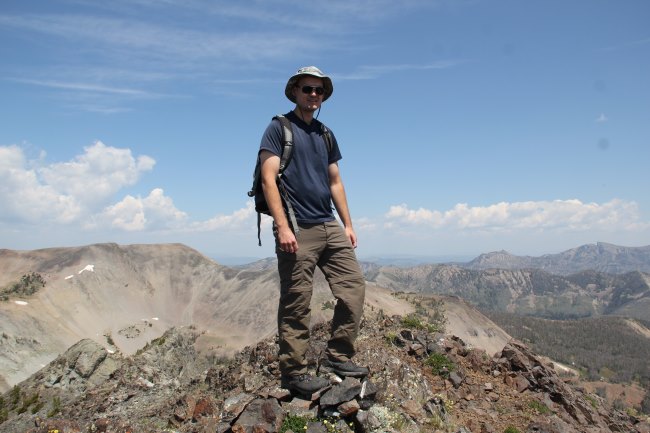
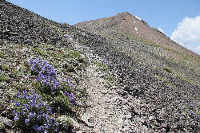
This was a fun, narrow ridge with great views in every direction. When we got to the cliff bands, we went to the right of them, missing the main trail and instead having to slog our way up some steep scree slopes to regain the ridge near the summit. From there it was a short walk to the apex of the ridge, where we arrived at 11am.
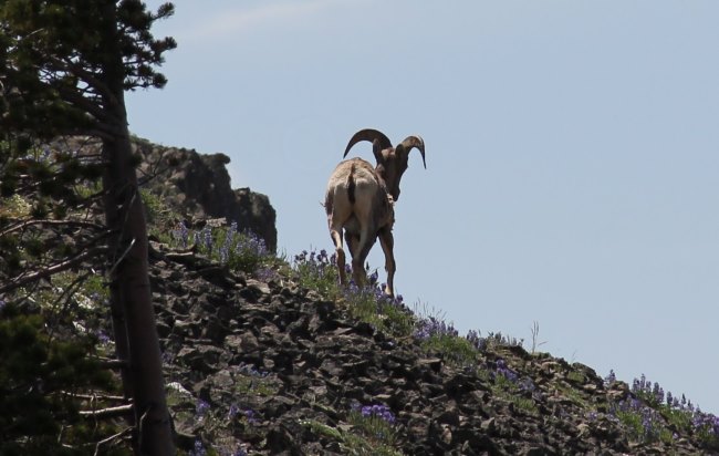
During the descent, about halfway down the ridge, I turned around to take another picture just in time to see a bighorn sheep trying to sneak away, less than 100 feet behind us! He had apparently been hanging on the cliffs to the east side of the ridge and hopped onto the easier terrain behind our backs to try to get away. I was able to snap a couple pics of the neat animal before it was out of sight around the next corner.
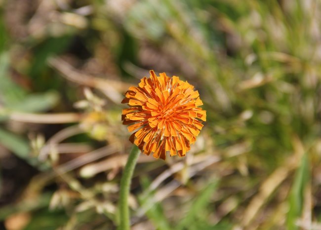
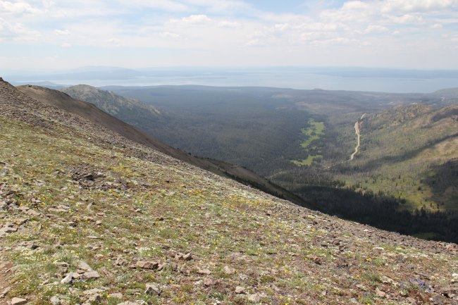
Next up: Avalanche Peak. Neither of us had any idea how easy this was going to be compared to what we had just done. We followed a well-defined trail from above the saddle around the eastern sub-summit of Avalanche Peak, and continued following the easy trail until suddenly we were standing on the top! From here there was a surprising vast view of Yellowstone Lake, and a neat narrow summit ridge with abundant wild-flowers and several stone shelters.
And lots of people. There was no one on Hoyt Peak, but we encountered a couple dozen people between the Avalanche summit and the trail back to the truck. The sheep are probably used to having Hoyt to themselves. We were done with the colorful hike in just over 5 and a half hours. Another neat piece of Yellowstone and a good workout.


