Flat Rock (1,987’), plus some Tuscarora Trail, Lehman Trail hiking
Round-trip distance: 7 miles
Elevation gain: 1,767 feet
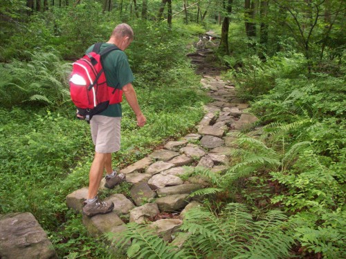
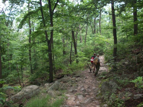
The hike to Flat Rock is a steep one. As we stomped the trail up-slope from Colonel Denning State Park, Uncle John recounted having done this same hike 16 times in the past. He told of one particular zero-degree, moonlit night he ascended the trail all the way to the overlook, from which he was able to see the rotunda of the Capitol Building in Harrisburg, shining over the snow-covered Cumberland Valley. Today felt far from such a scene, warm and muggy, though not at all bad for this time of year.
Upper Flat Rock Trail.
We hiked upward through groves of mountain laurel, finally arriving at the top of the first ridge. Here we came to a five-way split: the Tuscarora Trail south, Tuscarora Trail east (Flat Rock Trail), the Lehman Trail, the Warner Trail, and the trail we had ascended. Blue Mountain doubles back on itself, leaving a shallow basin within the elbow of the ridge top. We followed the Tuscarora Trail across this basin, past a small shelter and over a boardwalk, all assembled by Eagle Scouts in recent years.
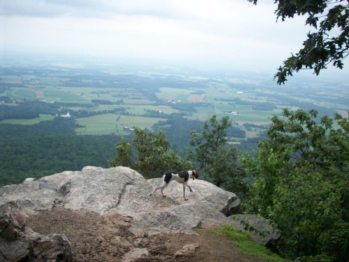
Hunter exploring Flat Rock.
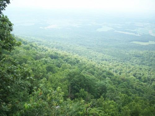
After another rocky rise we found ourselves at the USGS marker atop a high point on the Blue Mountain ridge, at 1,987 feet. On the slopes ahead, we came out onto the small rocky overlook known as Flat Rock. We sat and enjoyed the well-earned view as my dog Hunter drank from a natural puddle in the rock. Unfortunately the haze of the day kept us from seeing very far.
Wanting to add some more distance to our hike, we continued northeast on the Tuscarora Trail from Flat Rock. The trail was rough and rocky along the ridge top, but then it quickly descended into the basin through more thickets of mountain laurel. We caught a glimpse of a red-colored deer which quickly disappeared into one of these thickets.
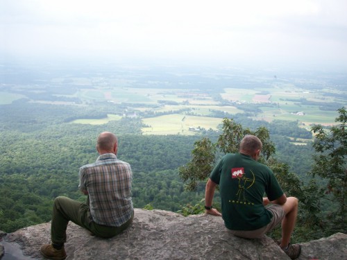
Brothers. Can you tell?
Near the bottom of the hollow, we walked through an area of tall ferns, then came to the east junction with the Lehman Trail next to the creek. We turned right and continued following the Tuscarora Trail east along this creek, opposite Wildcat Ridge. The creek-bottom woods had a calm, remote feel to them, but after a while the walking became monotonous and we decided to turn around.
Some of the rockiness along the Flat Rock Trail.
We hiked the half-mile Lehman Trail in its entirety back to the 5-trail junction, where we met a family and their several dogs—the first people we saw on the trail. After taking their group picture, we completed our quick, steep descent back to the park.