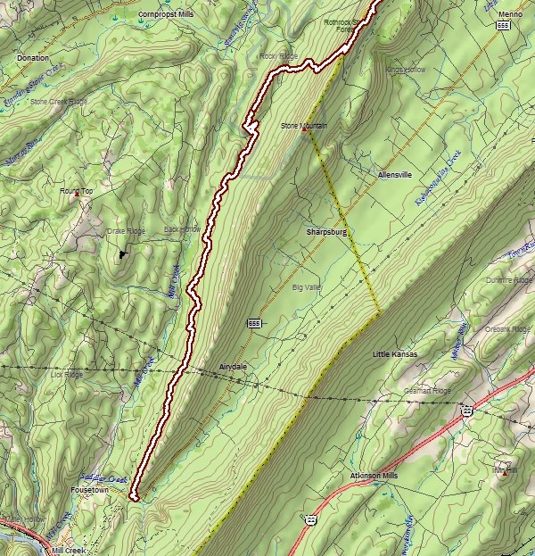
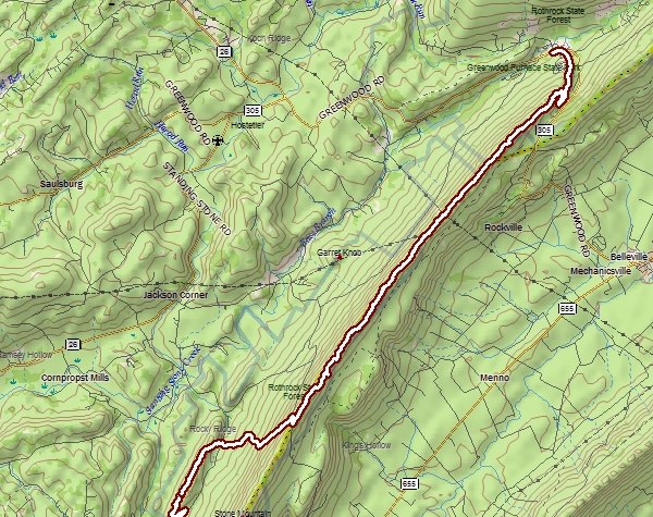
21.5 miles, point-to-point
(SST maps 6,7 and 8 detail today's journey).
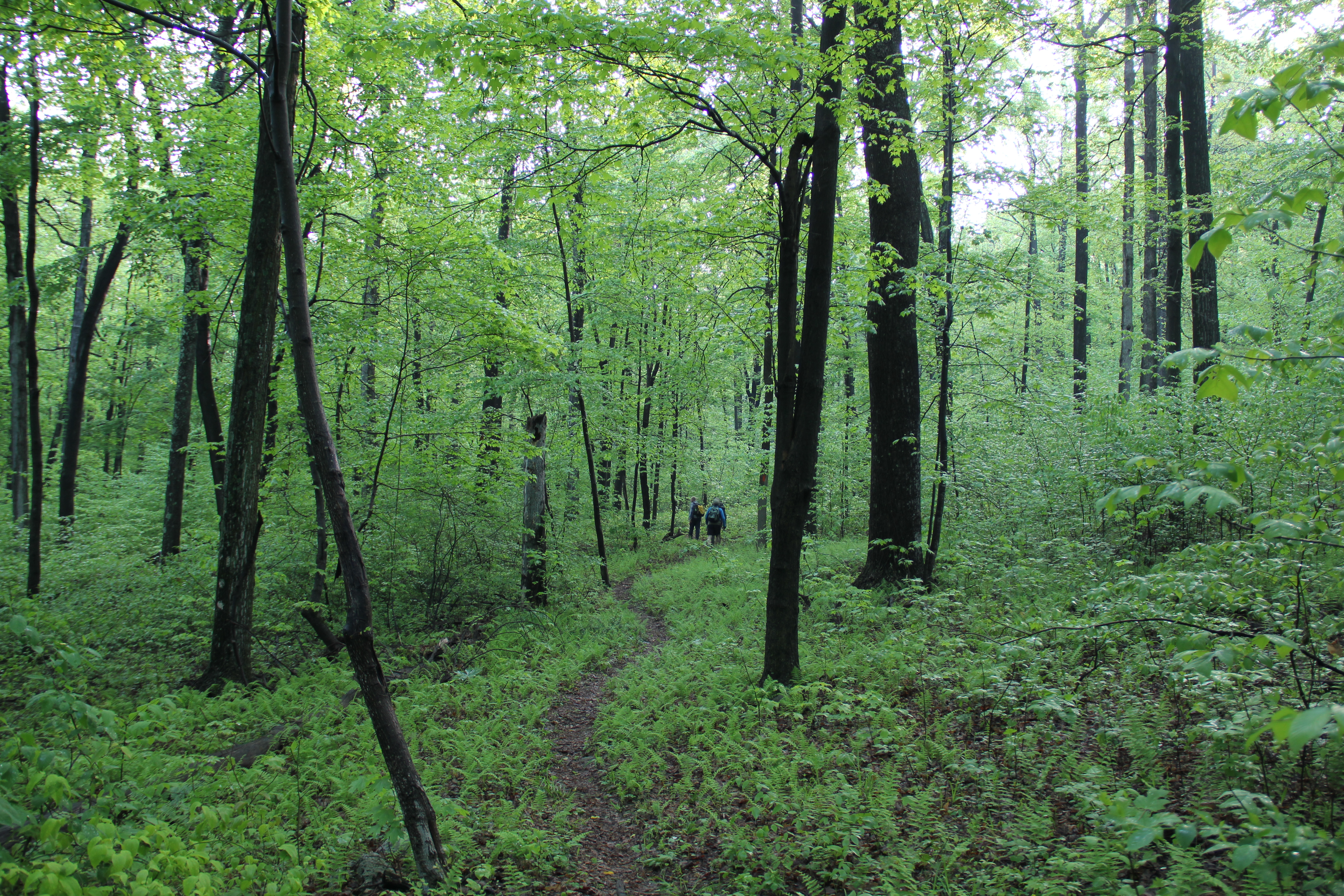
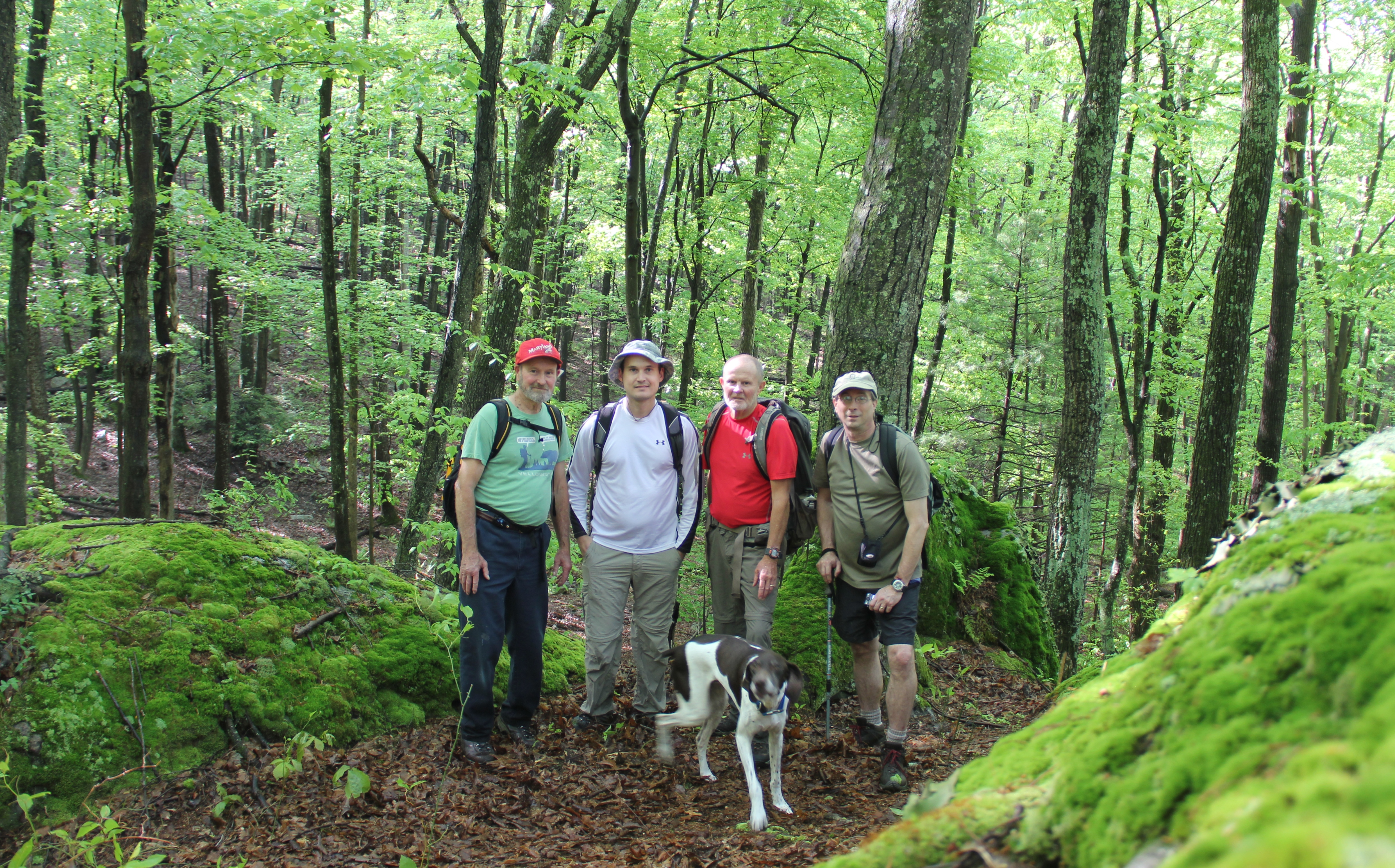
What had been planned as a 3-day backpacking trip turned into a complete wash-out of a weekend, but we still held out hope for Monday. With the rain finally coming to an end overnight, we hit the trail early Monday morning. "Plan D" turned out to be the northern 20+ miles of the Standing Stone Trail, the only section of the trail none of us--Dad, Uncle John, Greg and I (and Hunter, the dog) had hiked before. The trail was wet of course, and muddy at places, especially along the first several miles. But sunshine filtered through the tender green of the woods, and any sunlight has been a rarity this Spring.
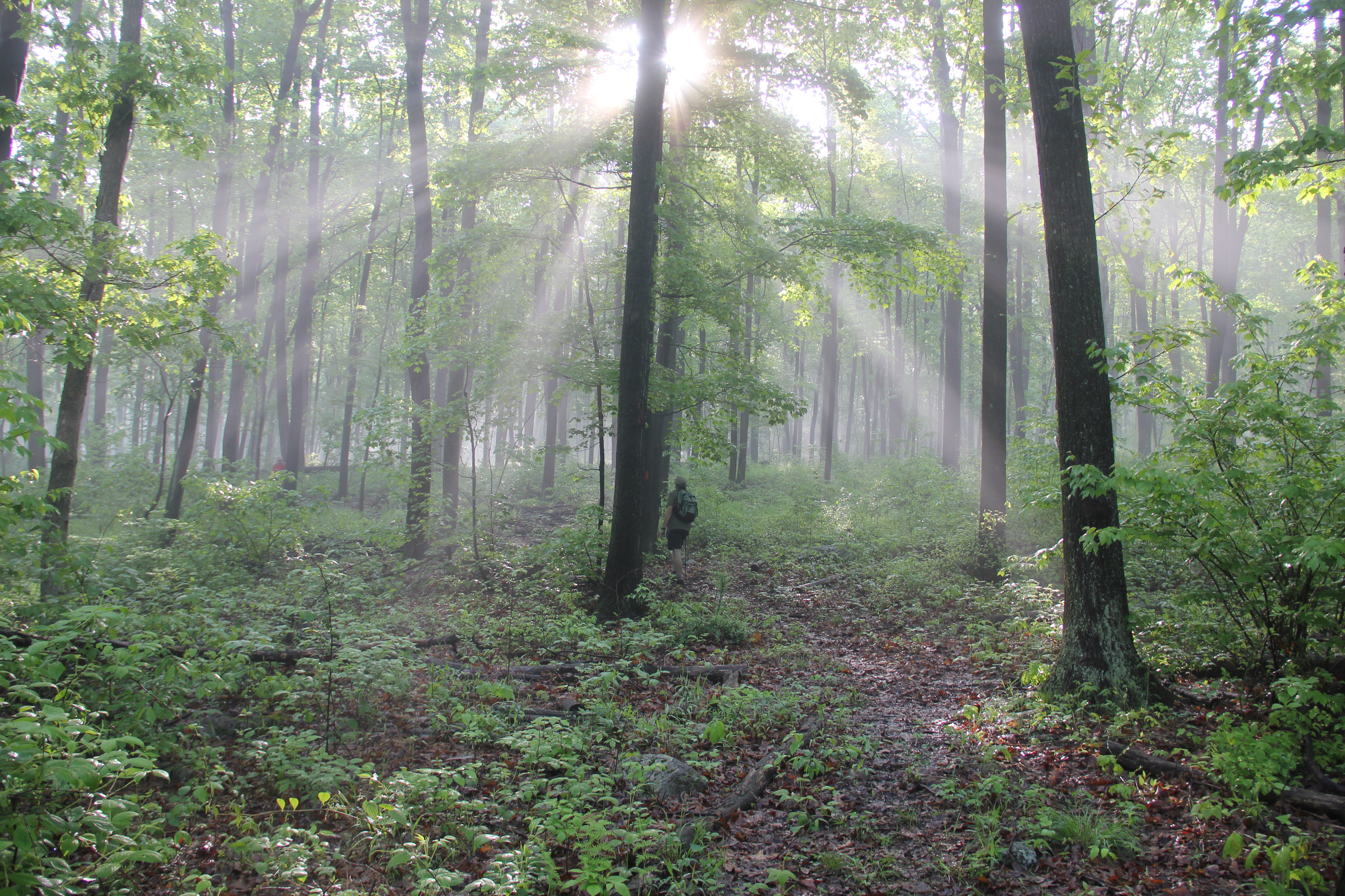
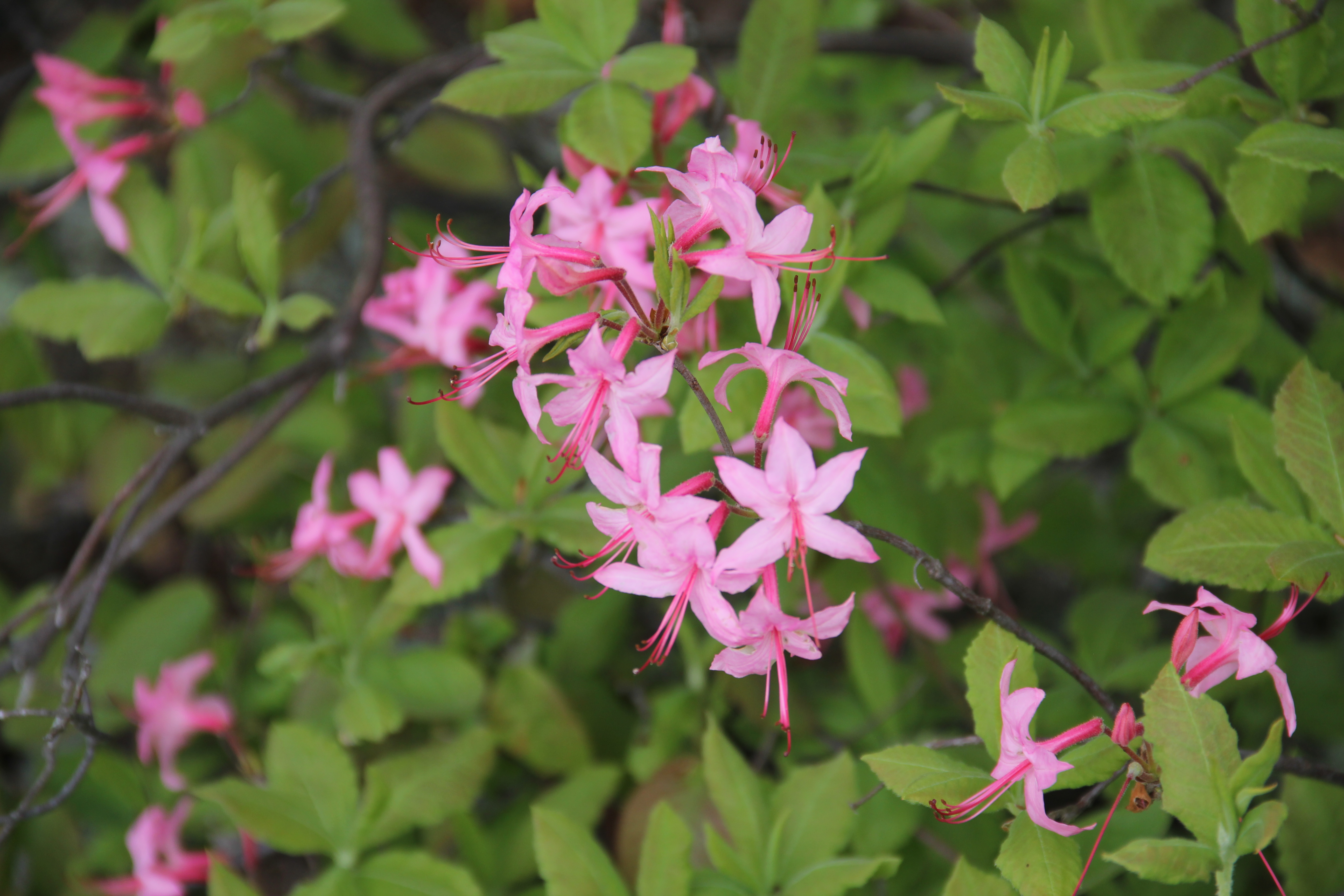
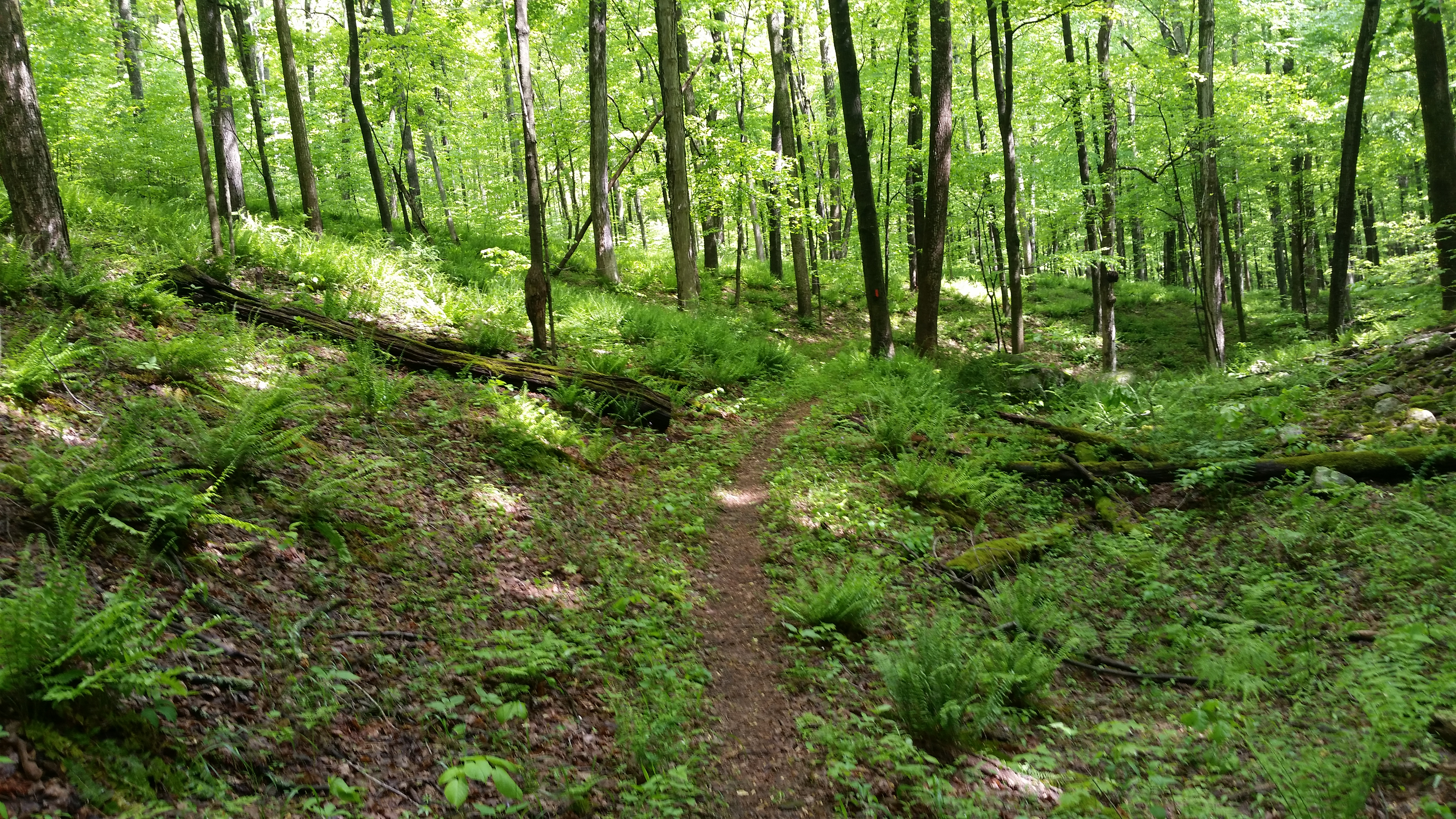
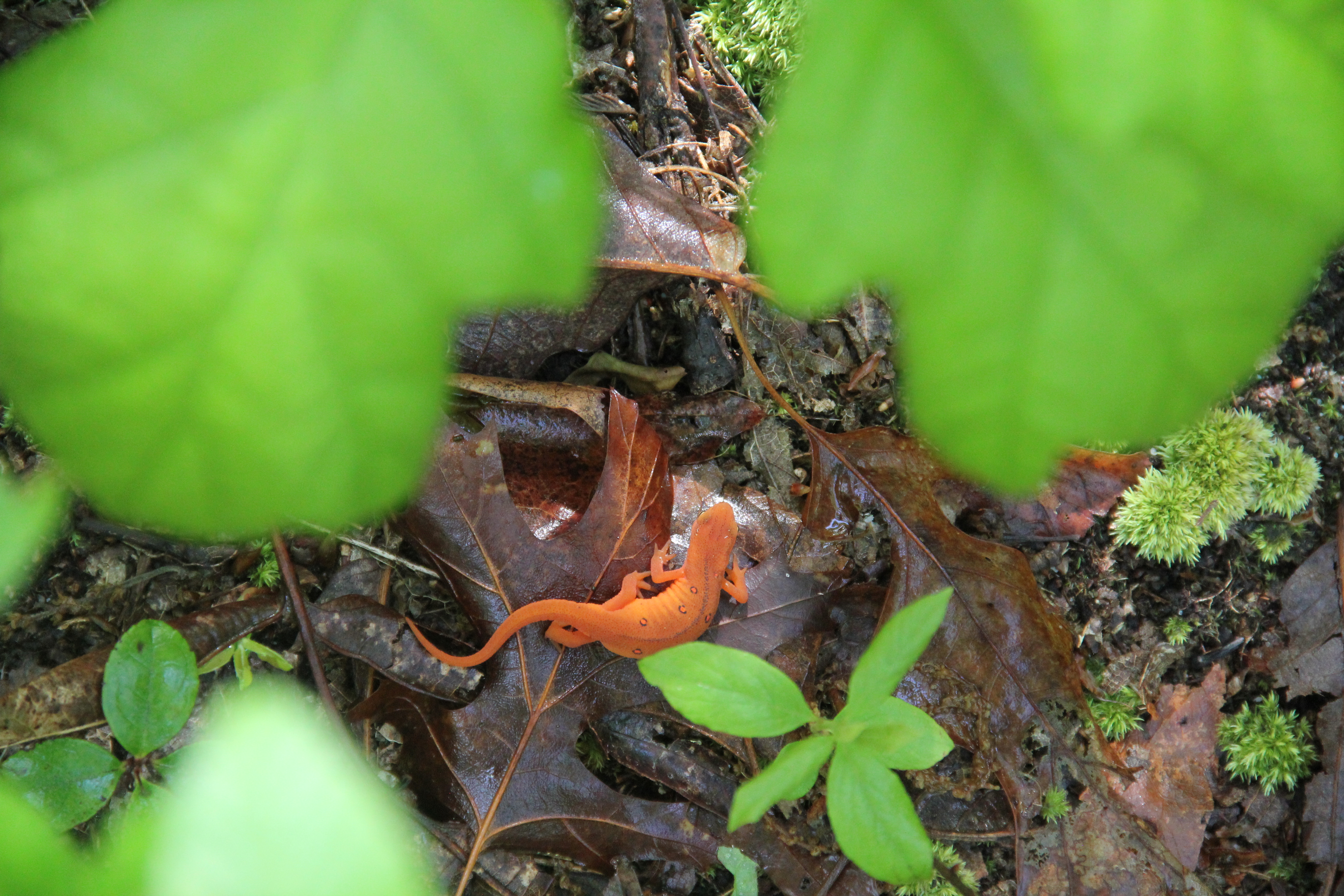
The trail stayed in mature forests, occasionally following old woods roads, and after the first steep climb off of Rt. 655, it was more or less level walking for the first five miles. The first memorable highlight of the trail was when we turned down toward a creek-bottom area where a number of rivulets fed lower toward Mill Creek. There were many giant mossy boulders here, scattered between ferns and blooming lady slippers--a picturesque spot.
At 5.8 miles, we joined a grassy logging road which led to a game lands parking area. Our Plan D included bringing only one vehicle along for this point-to-point hike. Dad didn't want to do the whole 20+ miles anyway, and instead turned around here to walk back out to the truck and drive it to the northern trailhead. This turned out to be good for everyone: it shaved off probably 45 minutes of driving time on an already long day, and Dad would avoid the worst of the trail while still hiking about 17 miles and experiencing his favorite day in the woods so far in 2016.

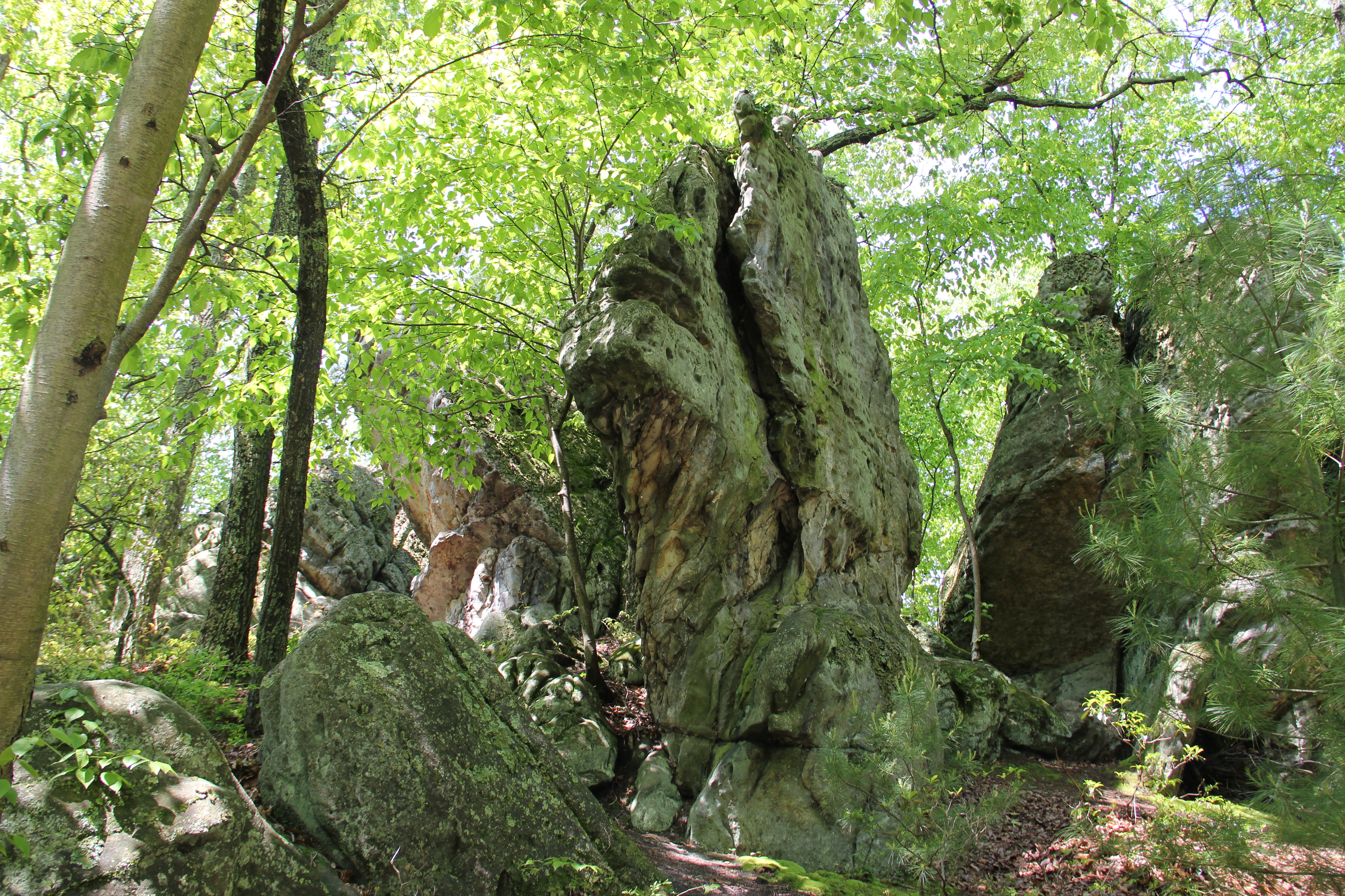
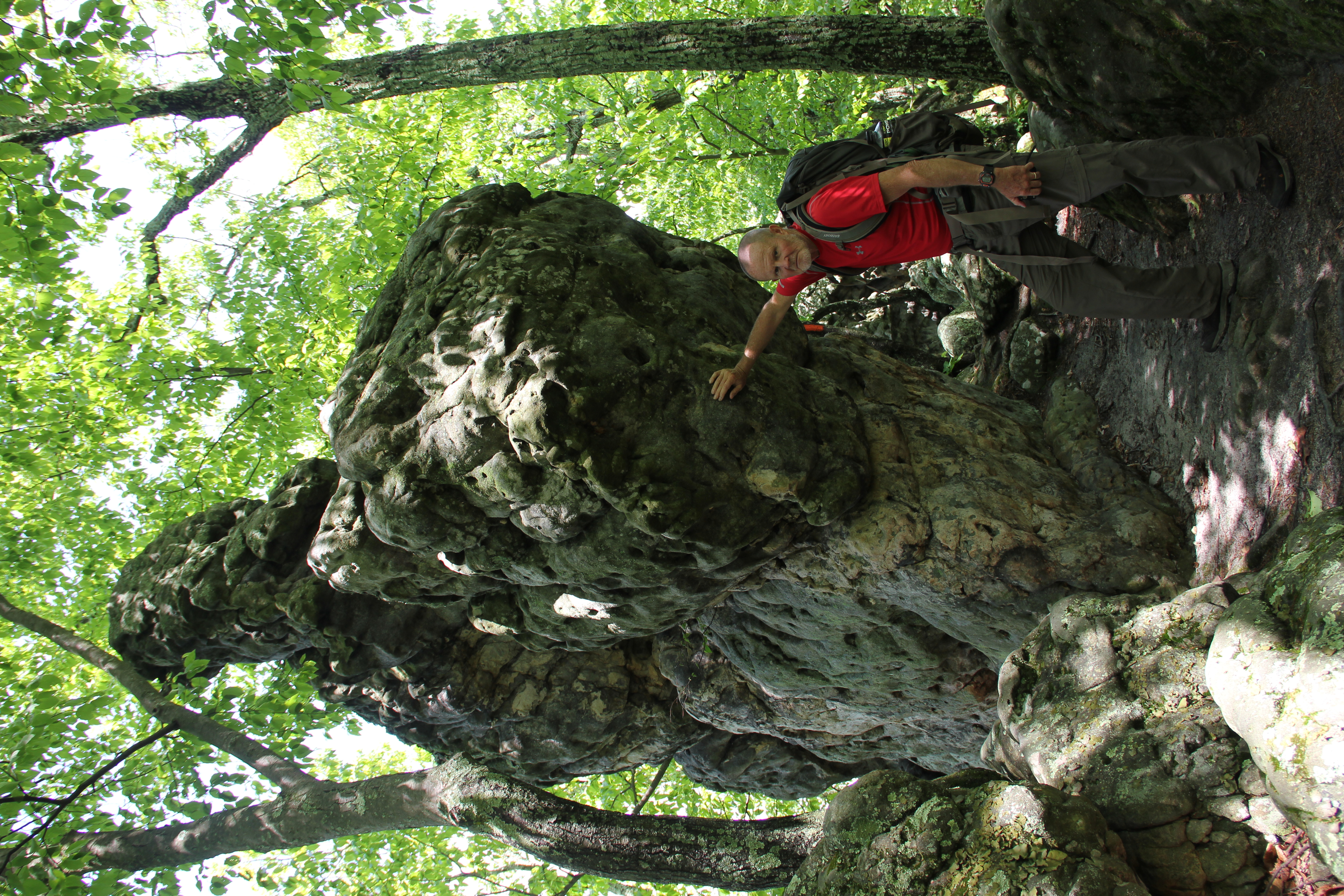
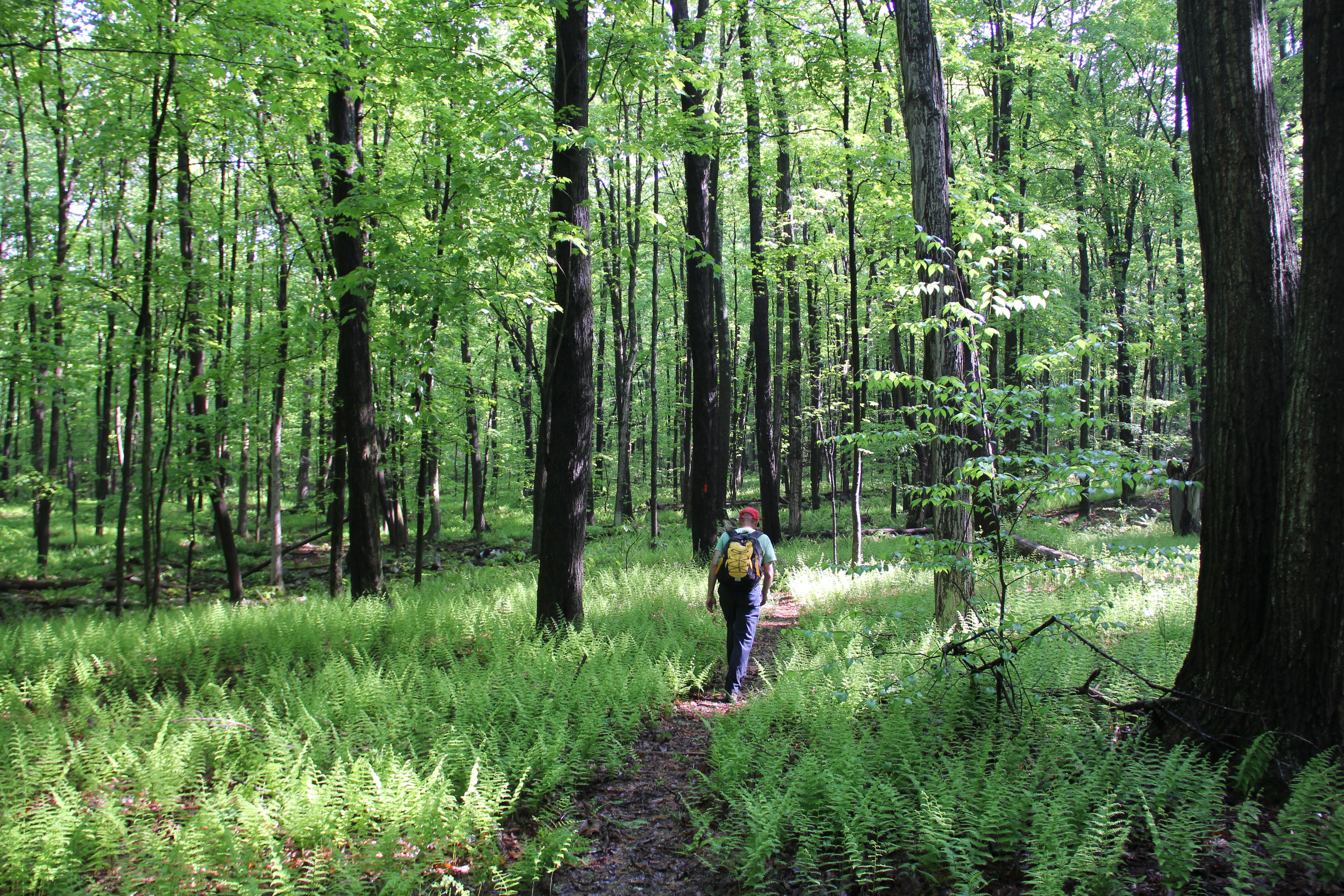
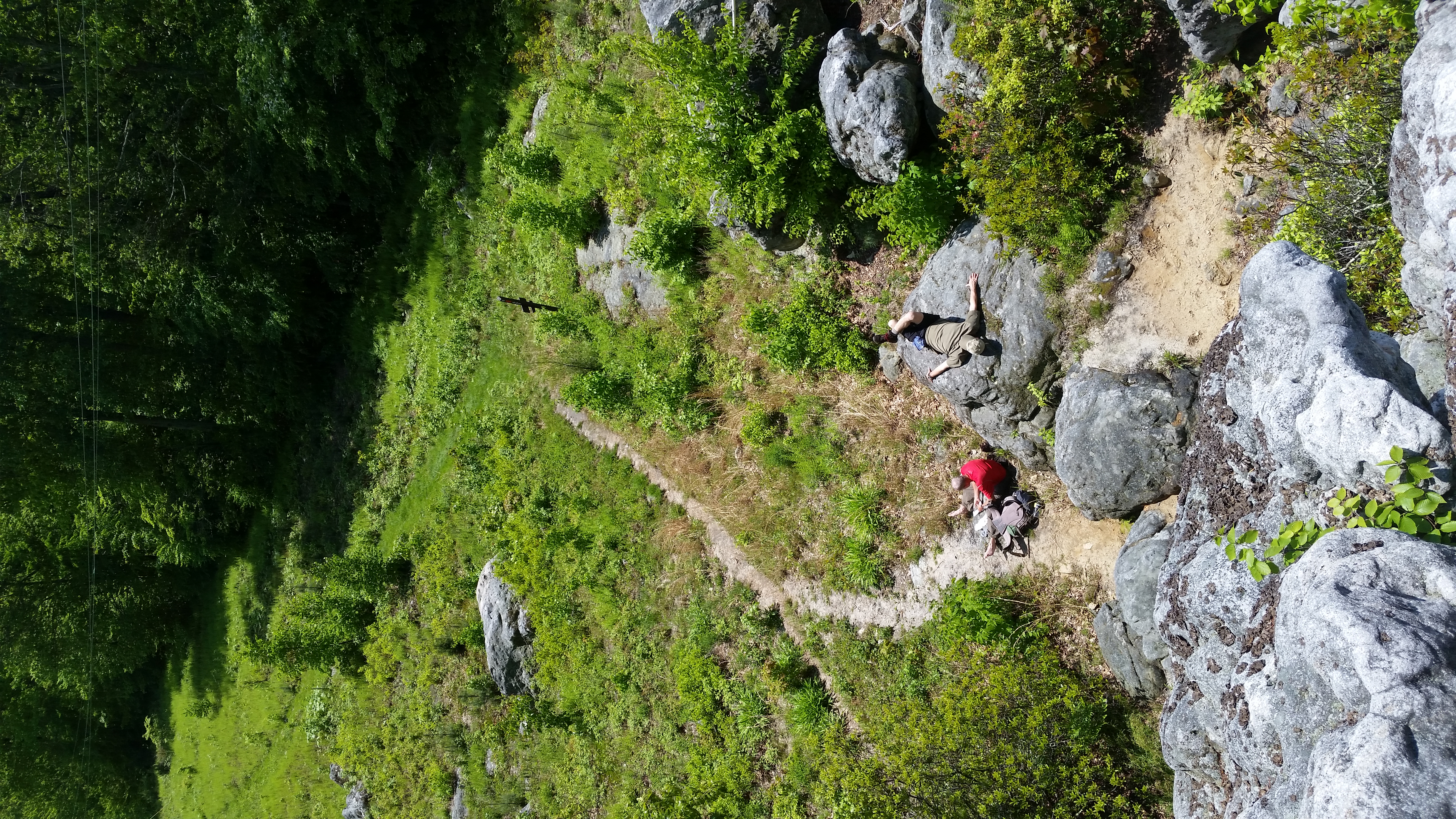
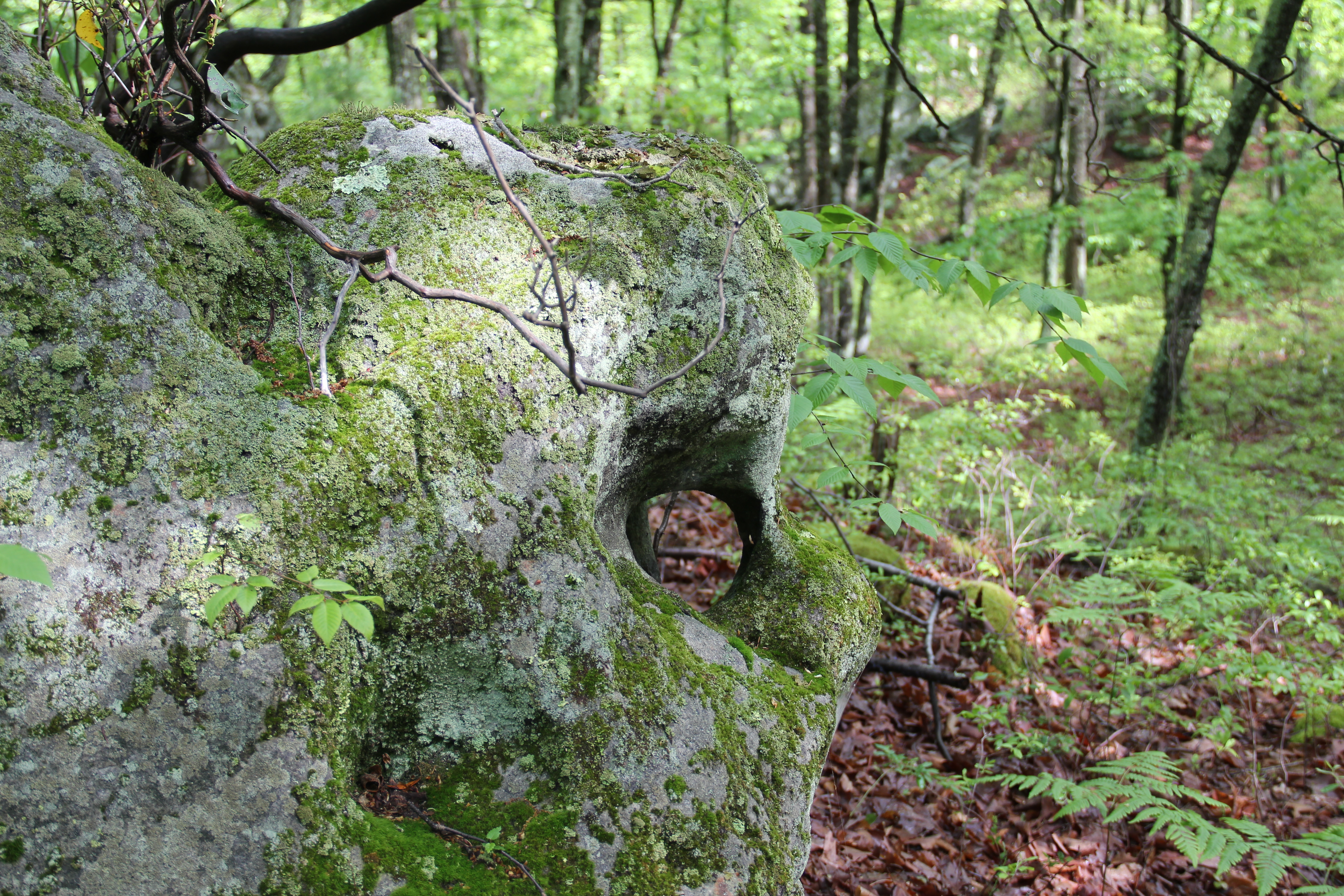
The rest of us, meanwhile, followed a winding trail through several hollows and boulder-strewn hill-tops. The trail was impressively smooth, and the scenery constantly changing. At one point we found a boulder sitting not far off the trail that had a natural round handle-like hole right through the edge of it.
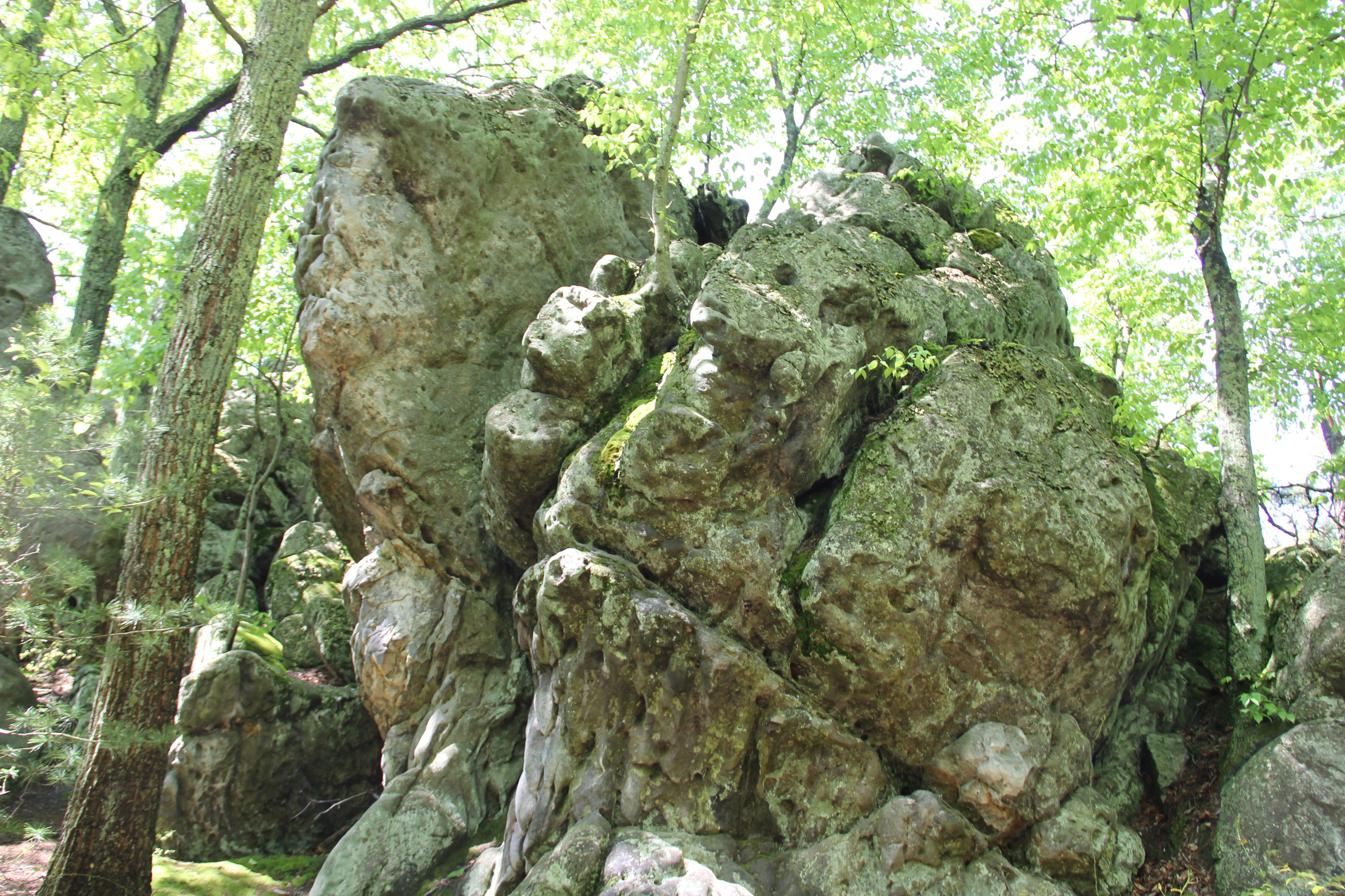
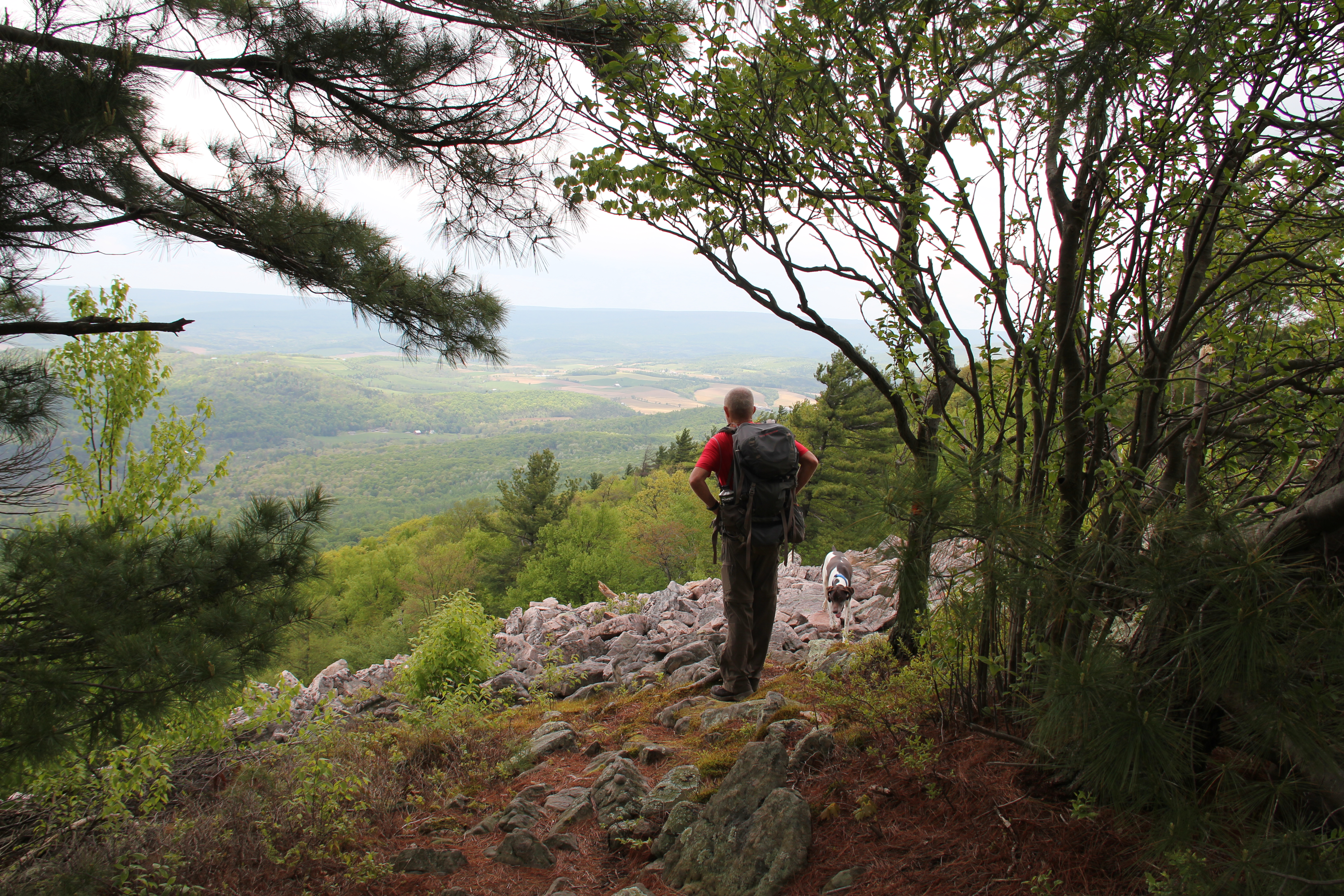
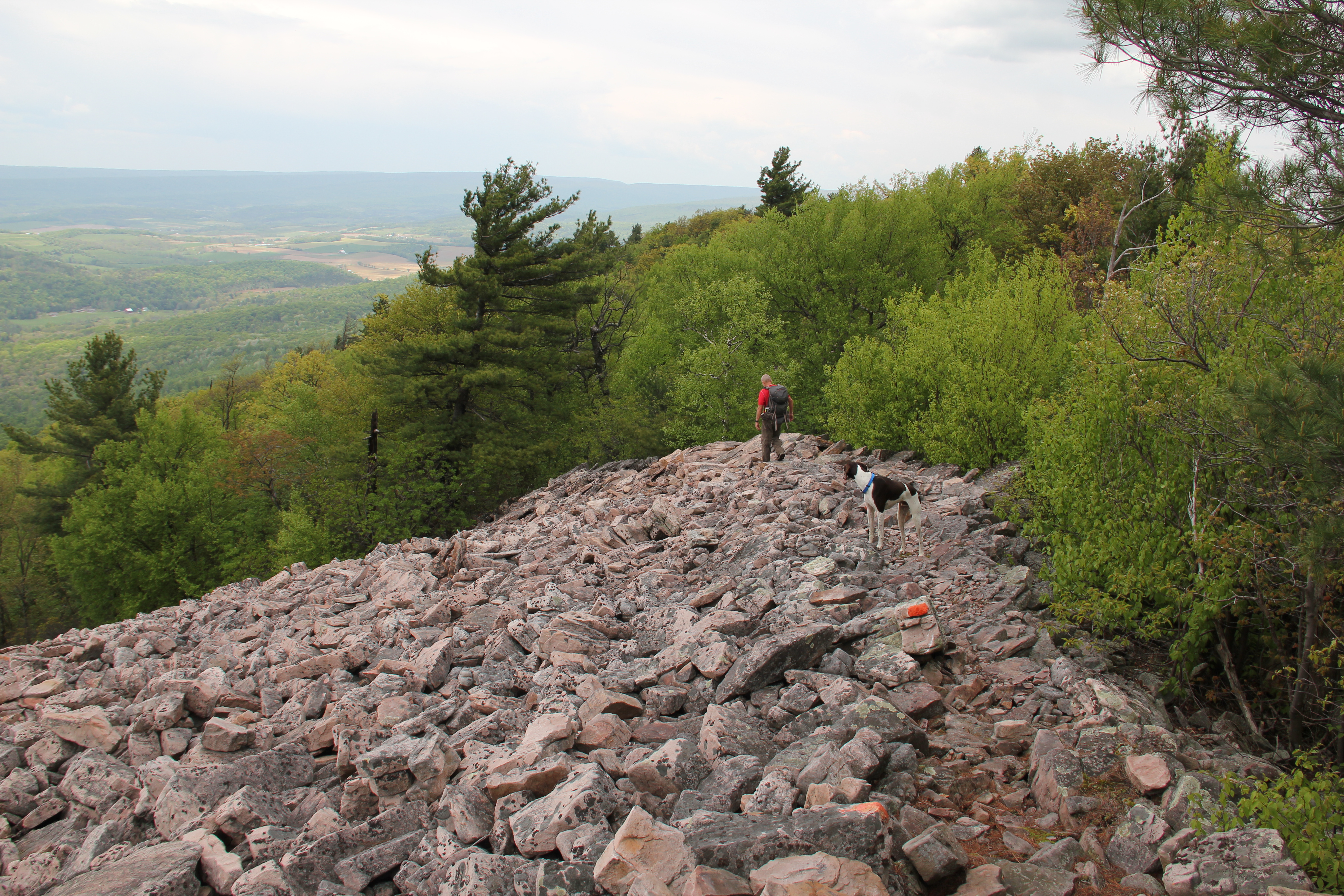
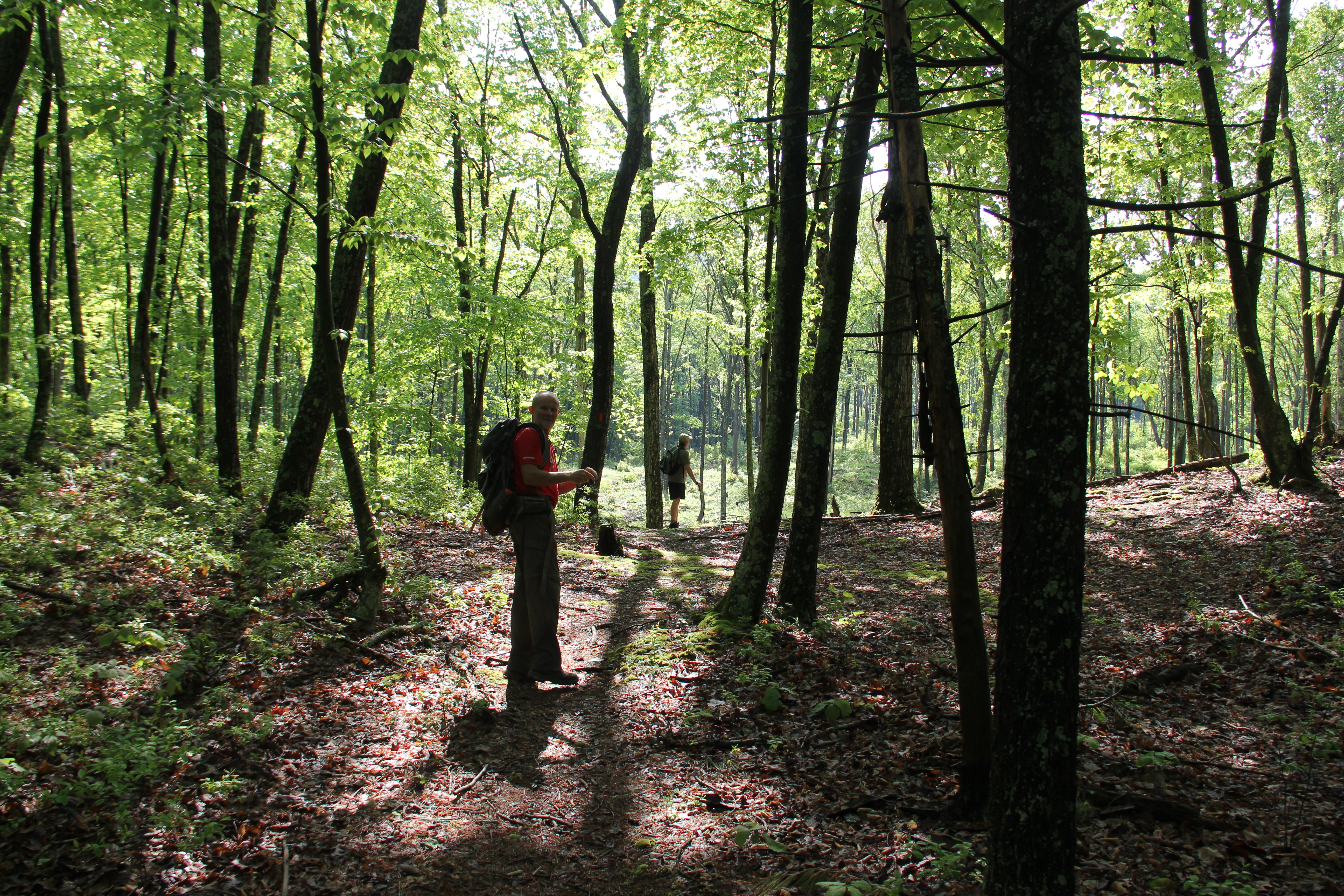
We entered Rothrock State Forest, where we would spend pretty much the rest of the day, and stopped for a break at a kind of cul-de-sac at the gravel Frew Road. Then we continued following the Standing Stone Trail past the Dogwood Trail and up onto an even crazier stretch of rock formations along a ridge-top. This highlight was the aptly named Rocky Ridge Natural Area. The trail continued to be smooth and the rock formations continued to fascinate. A couple places we also had decent views of the valley. This included a power line cut-out, where I climbed to the top of some rock towers.
Eventually the trail wound back down off the ridge-top to the valley floor to cross Frew Road once again. From here it was an 1100 foot climb to the opposite ridge--all on an old wagon road. The trail crossed the gravel Allensville Road just before reaching the top.
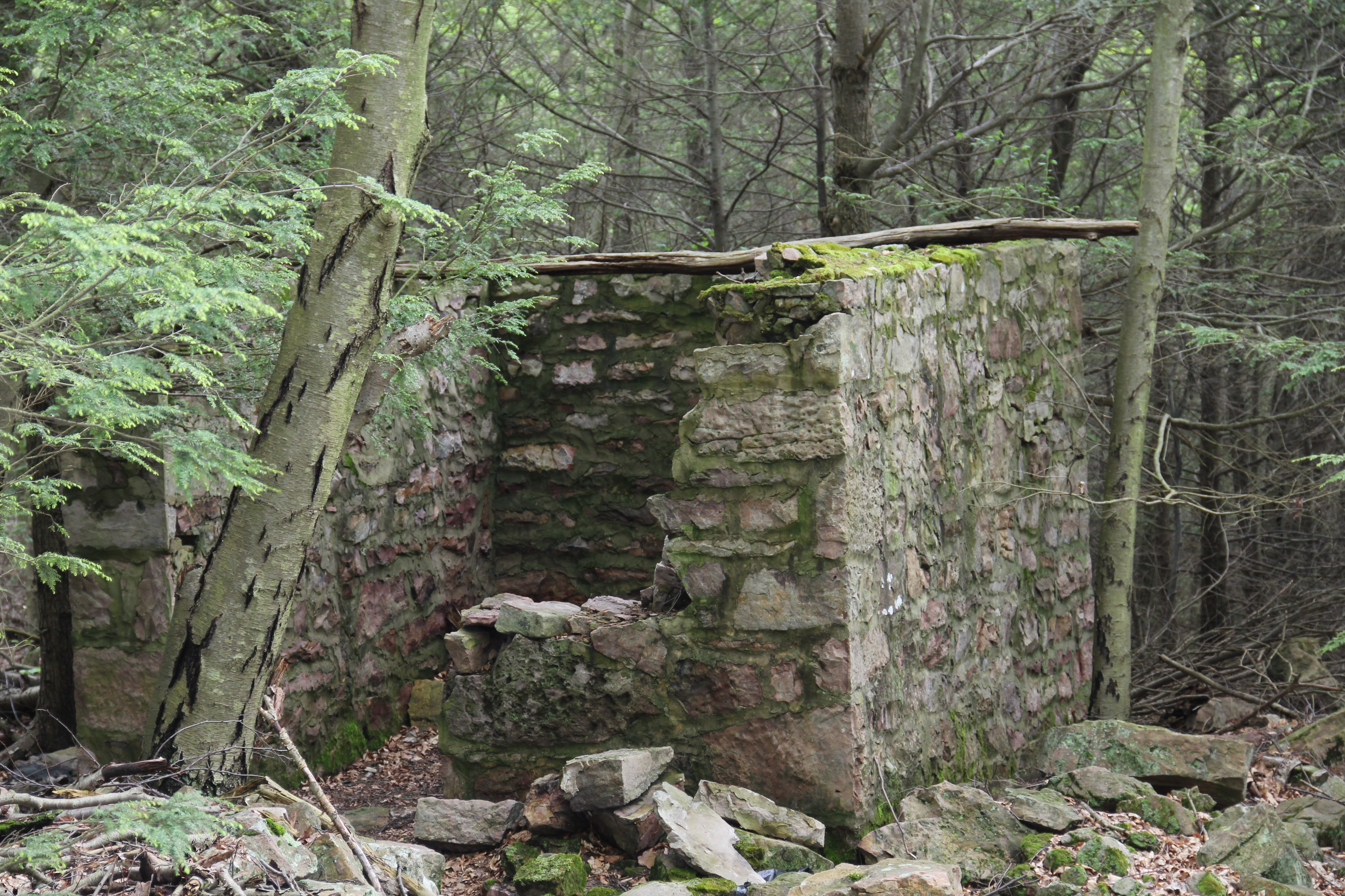
This ridge-walk included 8 vistas: Stone Mountain Hawk Watch (where a trail worker was busily painting the wooden overlook deck), Saussers Stone Pile, The Wall (not mentioned on the maps), Willies Window, Little Vista, Hidden Vista (which was truly hidden, because I didn't really see a view here), Power Line (impressively steep!), Olsens View (best view toward Bellville) and Stone Valley Vista. The highlights of these were Saussers Stone Pile and Stone Valley Vista. One other highlight along this stretch was an old square stone building at the top of the Pole Trail.

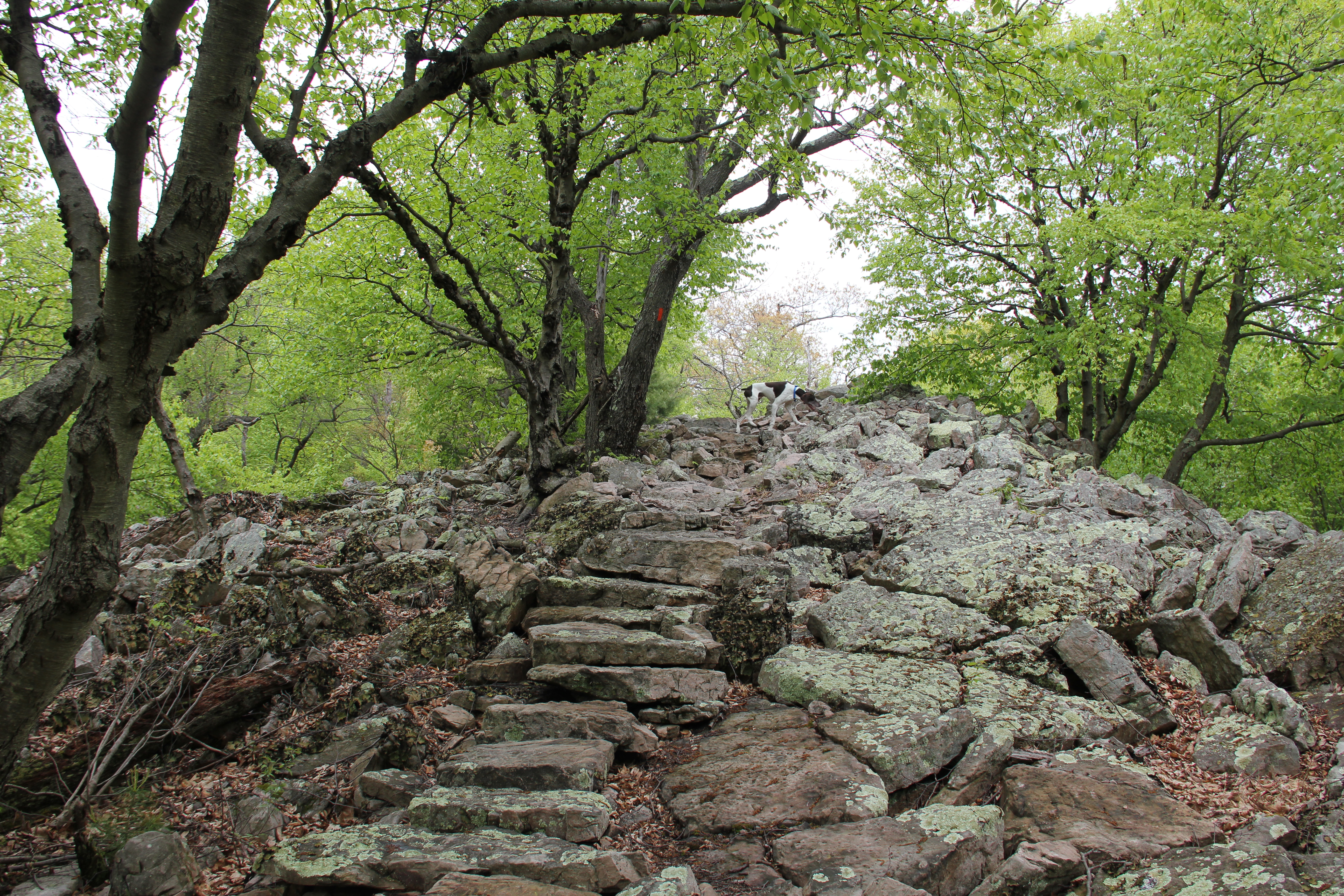
Great trail work has been done at both ends, with flat stone walk-ways made out of the natural rocky surroundings. There was much rougher, typical PA-ridge-top sharp rockiness for the middle two and a half miles, though, and this was taxing.

By the time we made it to "Little Vista", Dad had hiked back out to the truck, driven to Greenwood Furnace State Park, and started hiking in from the north. He was now taking in the view from the northernmost "Stone Valley Vista." We still had another five miles of trail before finally joining him to the south of this vista. Then we all took one final long break together at Stone Valley.
We couldn't have asked for a better way to end the hike, walking out on soft ground logging road, then grass to the end. We had not encountered another hiker on the trail all day, until we arrived at the northern trailhead where a couple was walking their two dogs.
With our arrival at the signed trailhead, Uncle John became the only one of us to have now completed the entire Standing Stone Trail. Today's hike was without question his favorite section of the trail, one that we all enjoyed. It was a well-maintained section of trail with unique scenery and over 21 miles between paved roads, all without seeing another hiker. Here's a few more of the highlights: