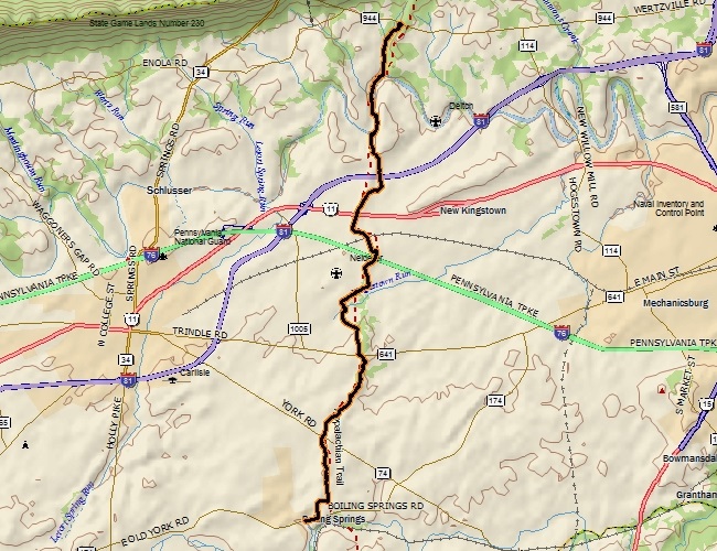
Point-to-point distance: 12.15 miles
Uncle John is working on completing the Pennsylvania miles of the Appalachian Trail, and with a good weather window this Sunday evening we tackled the 12 miles of flatland from PA-944 south to the A. T. Conservancy along 174 in Boiling Springs. While it was the flattest 12 miles of trail "hiking" I've ever done, it was a very enjoyable outing.
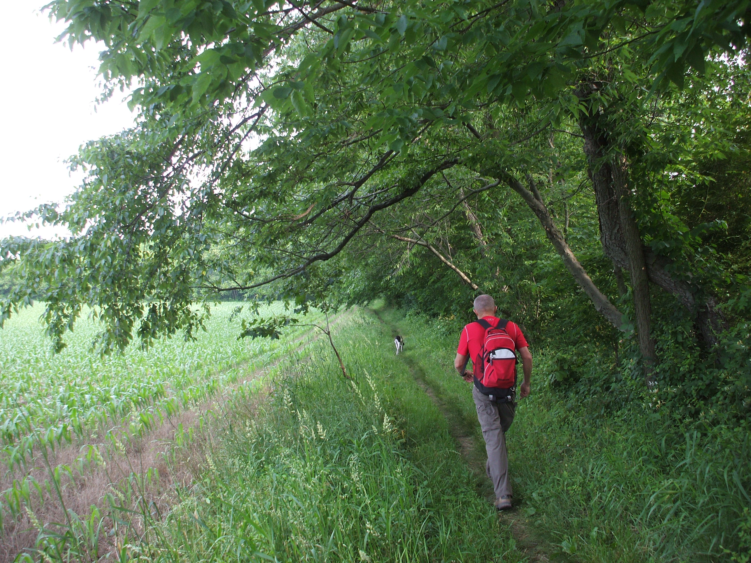
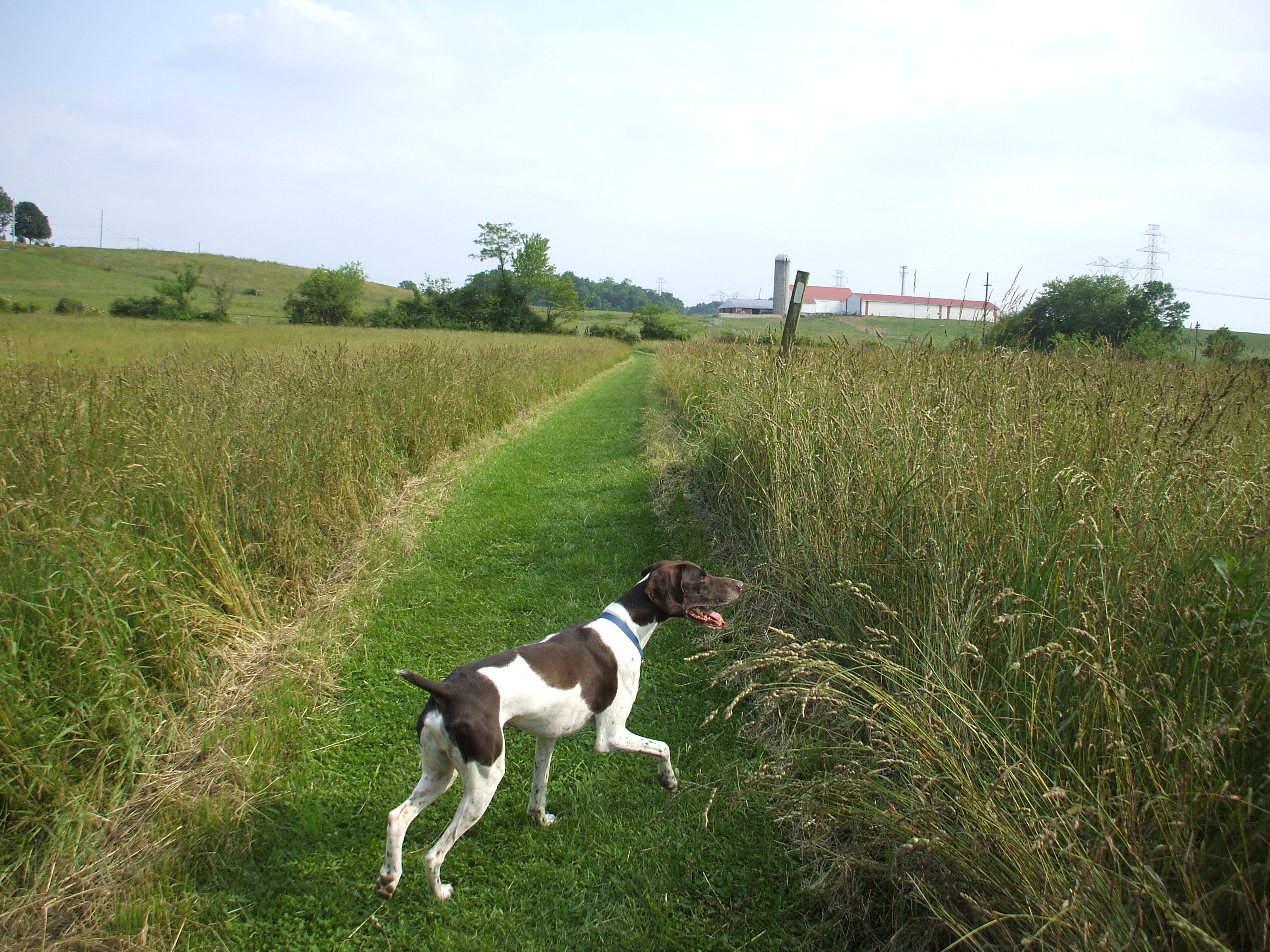
For one, I have not done any distance hiking yet this year, so it was a good introduction back into that kind of workout, and also the mixed farm, wooded, river, and suburban area the trail wound through made for a nice taste of Pennsylvania valley scenery. There was almost zero rockiness, as well, which lends itself to a great trail running section of A.T. There were a number of notable road crossings, mainly on bridges over roads such as I-81, U.S. Rt. 11 and the PA Turnpike, among many other minor roads. But even with a dog along none of these were too bad.
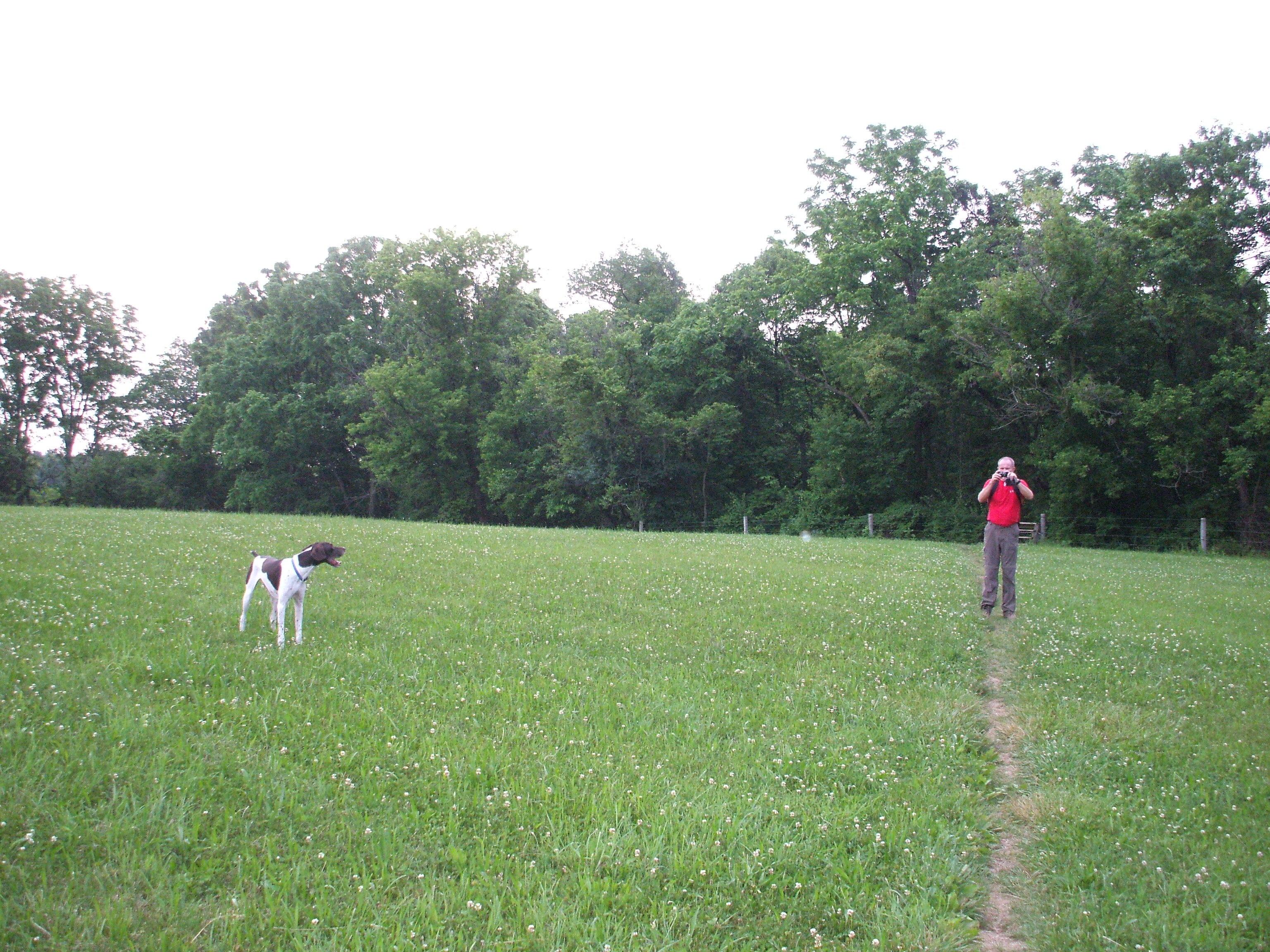
Despite constantly being near civilization, the national park designation of the trail kept it in quiet, peaceful slivers of woods, with the occasional mowed path through a grass field or along a fence-line. It never felt like we were being bombarded by civilization. We didn't even see very many hikers, just a few out for a stroll and several through-hikers near the end of our four-hour walk through the woods. We arrived at the A.T. conservancy building as darkness was setting in, completing the 12.17 miles in 3:50.