Round-trip distance: 14 miles
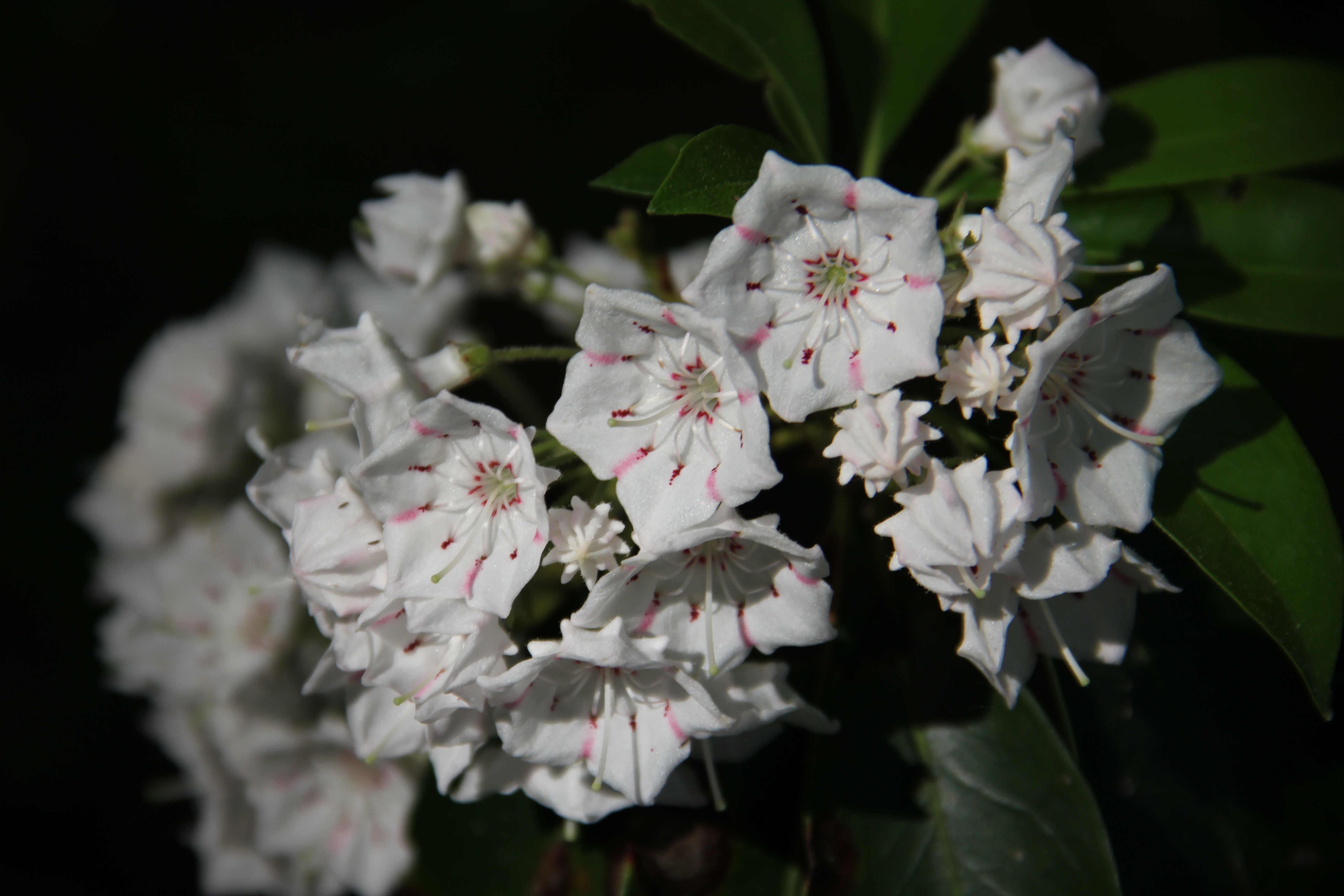
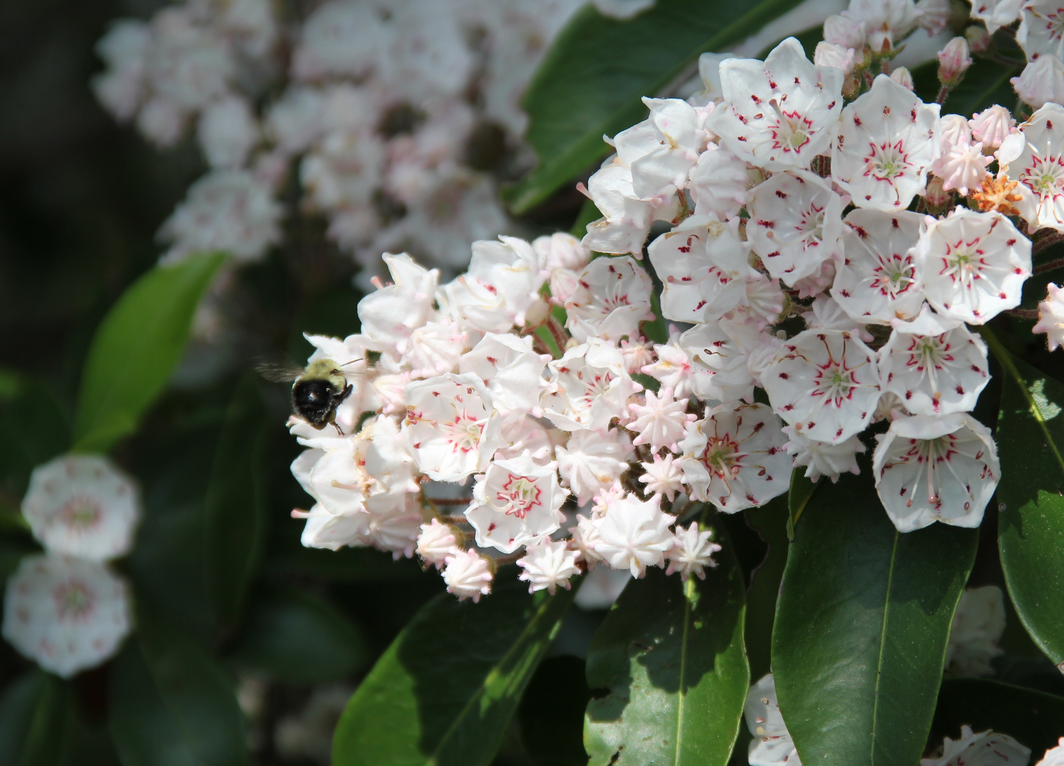
Mountain Laurel in full bloom
This enjoyable loop-hike on a remote-feeling stretch of the Standing Stone Trail began at the not-so-remote Cowans Gap State Park, though on this early Saturday morning there was only one fisherman and no other people to be seen as I started out the Tuscarora Trail with my usual hiking companions: Dad, Uncle John and my dog, Hunter. The first 4-mile stretch of Tuscarora Trail was mostly level and easy-walking until we reached the junction with the Todd Trail.
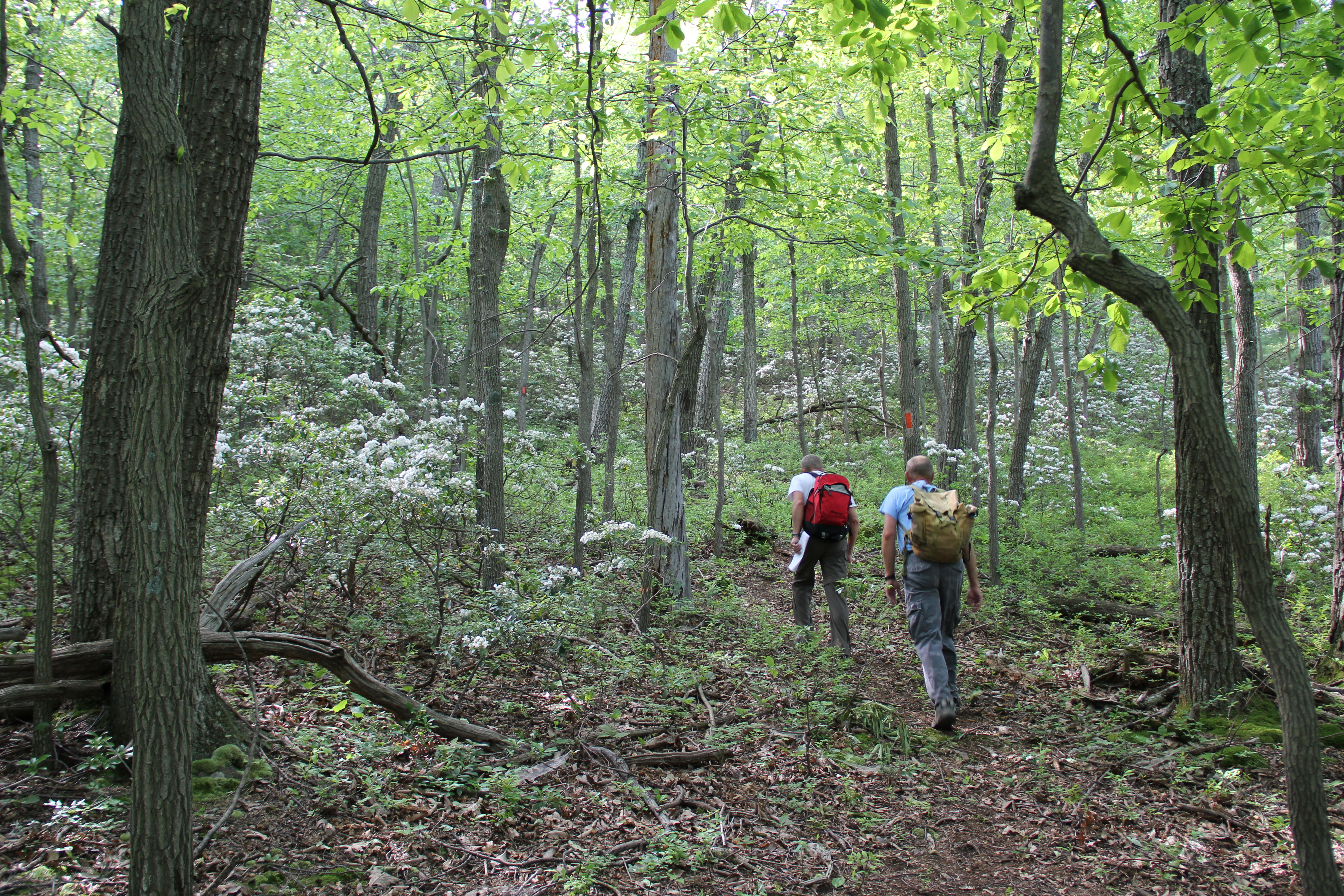
The Todd Trail climbs steeply up the mountainside at first, but the upper third of the trail, which used to be vertical as well, has been replaced with a series of pleasant switchbacks, leading all the way to the top of Cove Mountain. We stayed on the Todd Trail to descend the western slopes of the mountain, immersed in a sea of blooming mountain laurel bushes.
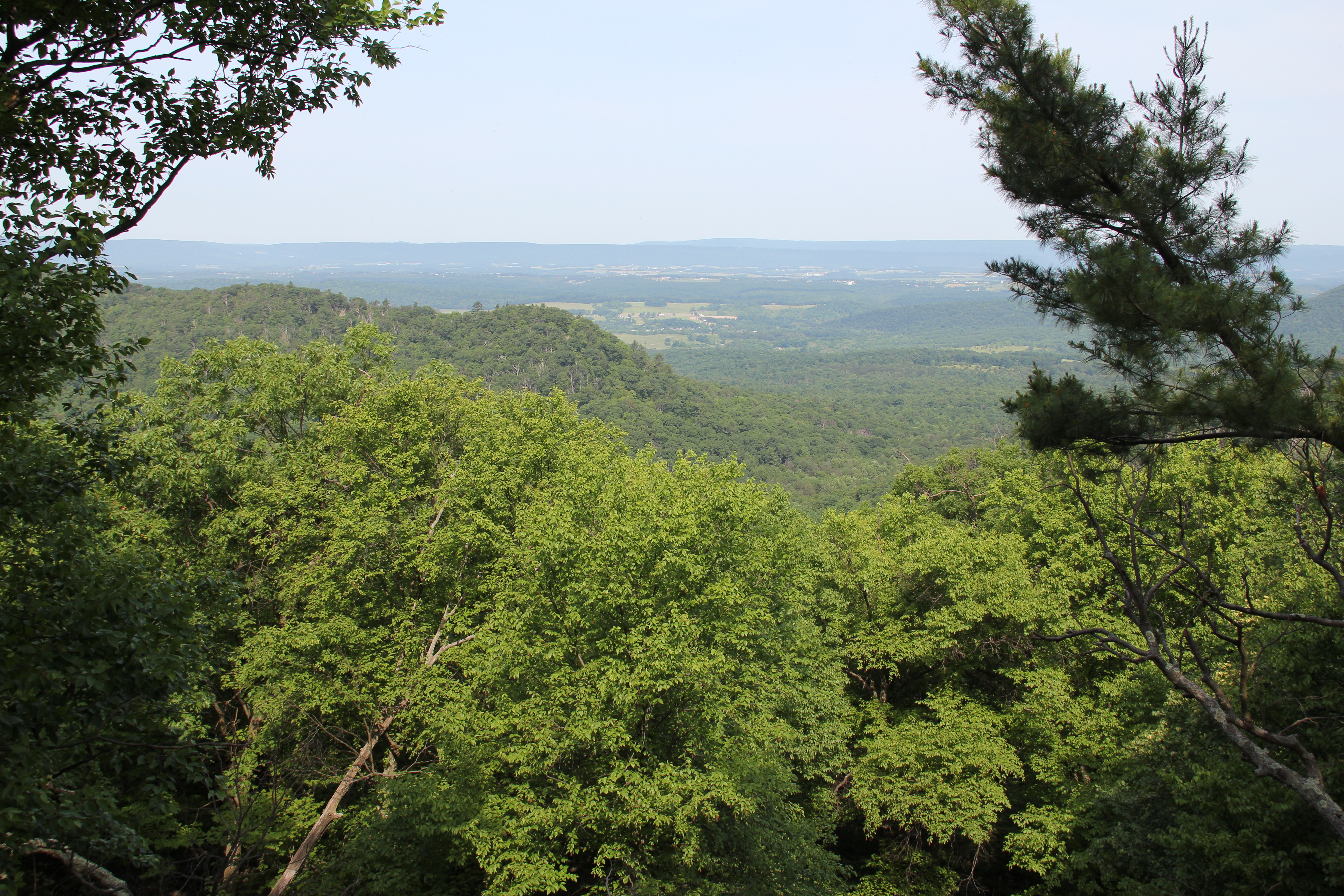
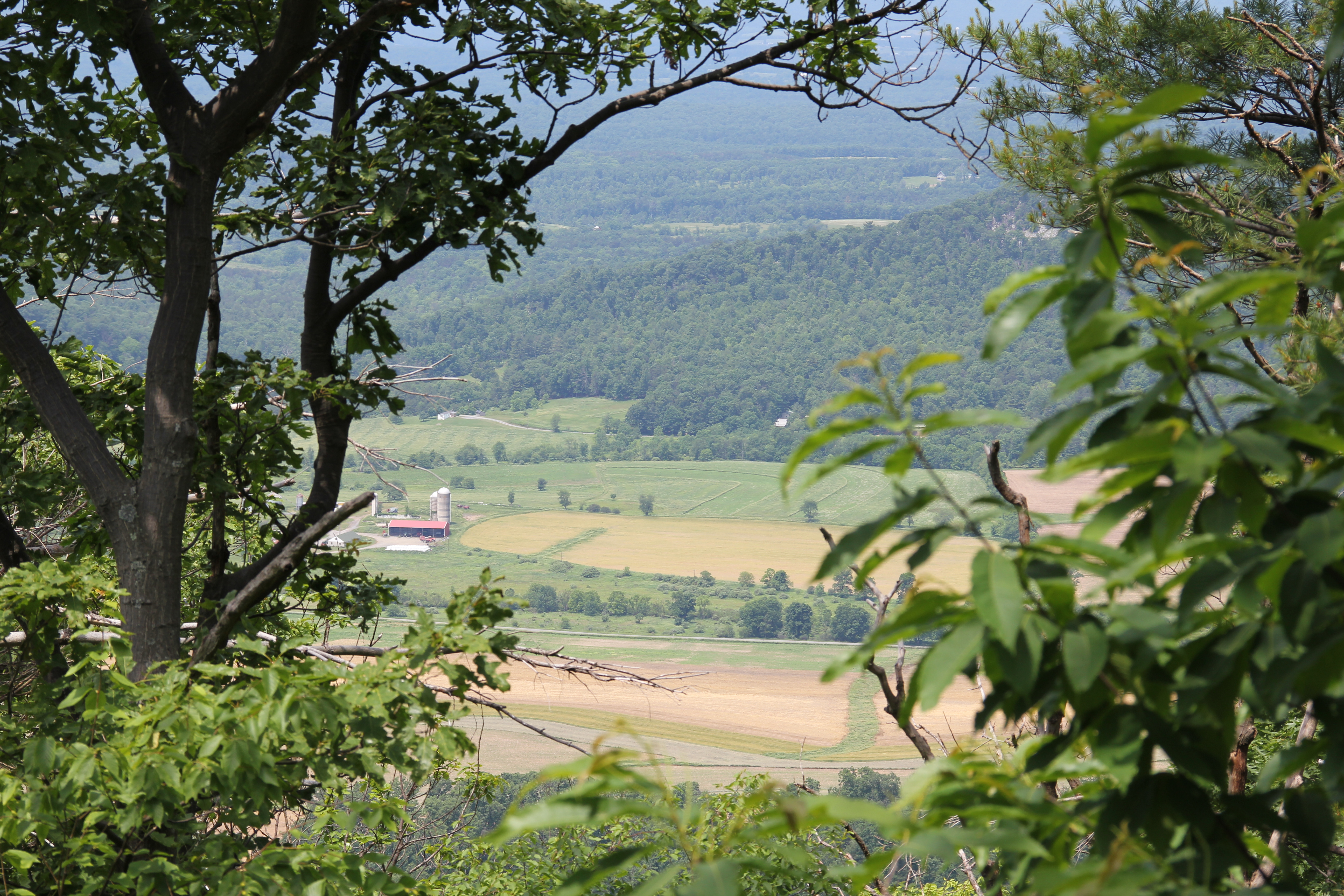
View of Scrub Ridge
We descended into the remote hollow of state forest land tucked between the mountain to the east, two front ridges to the west, and hunting club land to the north and south. Eventually the trail / logging road contoured the southern ridge and led down into 'The Narrows,' where we met up with the Loop Trail / Standing Stone Trail. This we followed up the other side of the hollow, through a beautiful oak forest full of blooming mountain laurel.
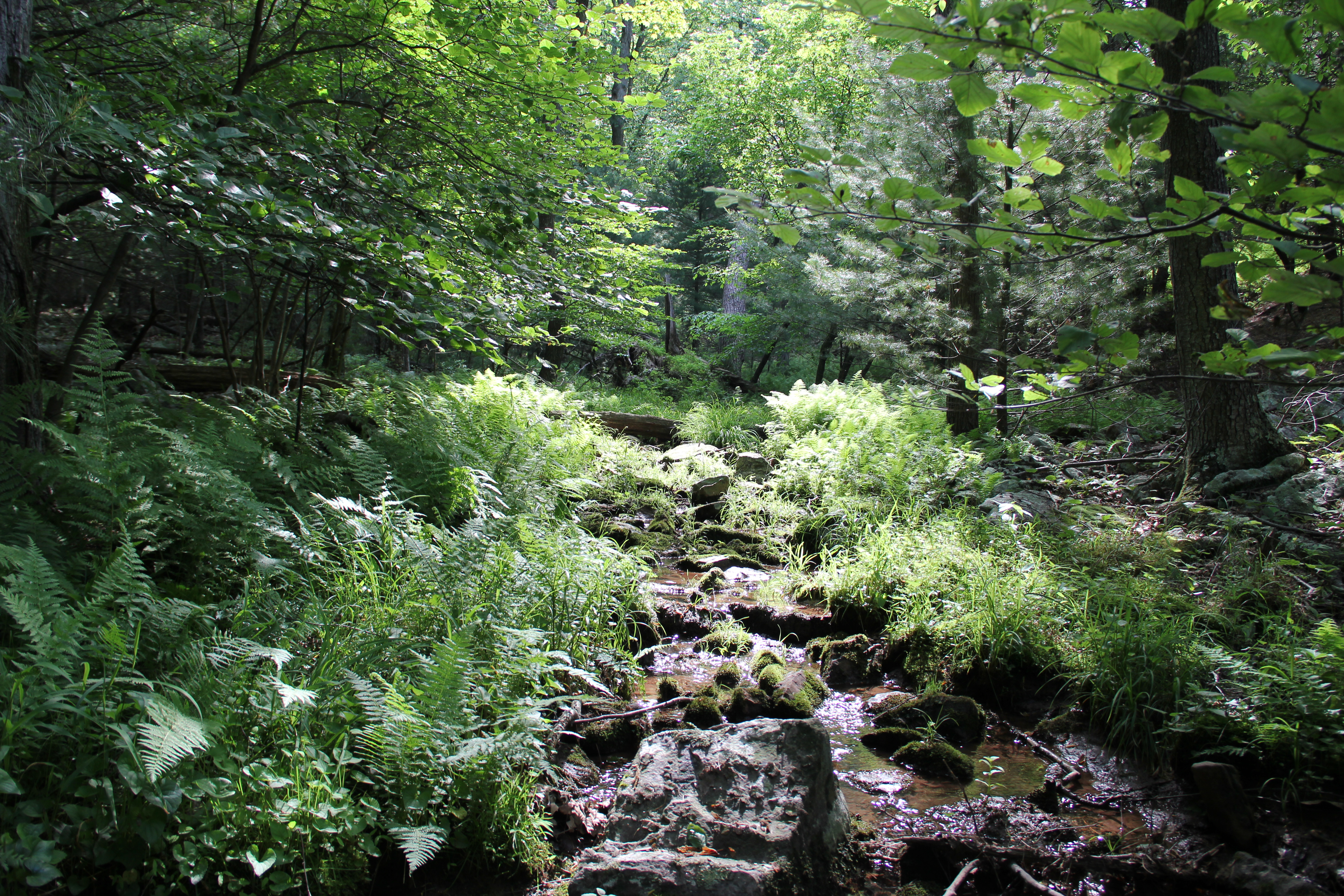
This entire area was some of the most pleasant, remote, quiet Pennsylvania woods we've experienced in our years of hiking. I first hiked this piece of trail in August 2010, but since then the upper portions of the Standing Stone Trail had been redone, made into easy- walking switchbacks leading back up to the top of Cove Mountain. Just to the north of where we topped out on the ridge, we took a break to enjoy the view of Scrub Ridge and the valley surrounding Fort Littleton.
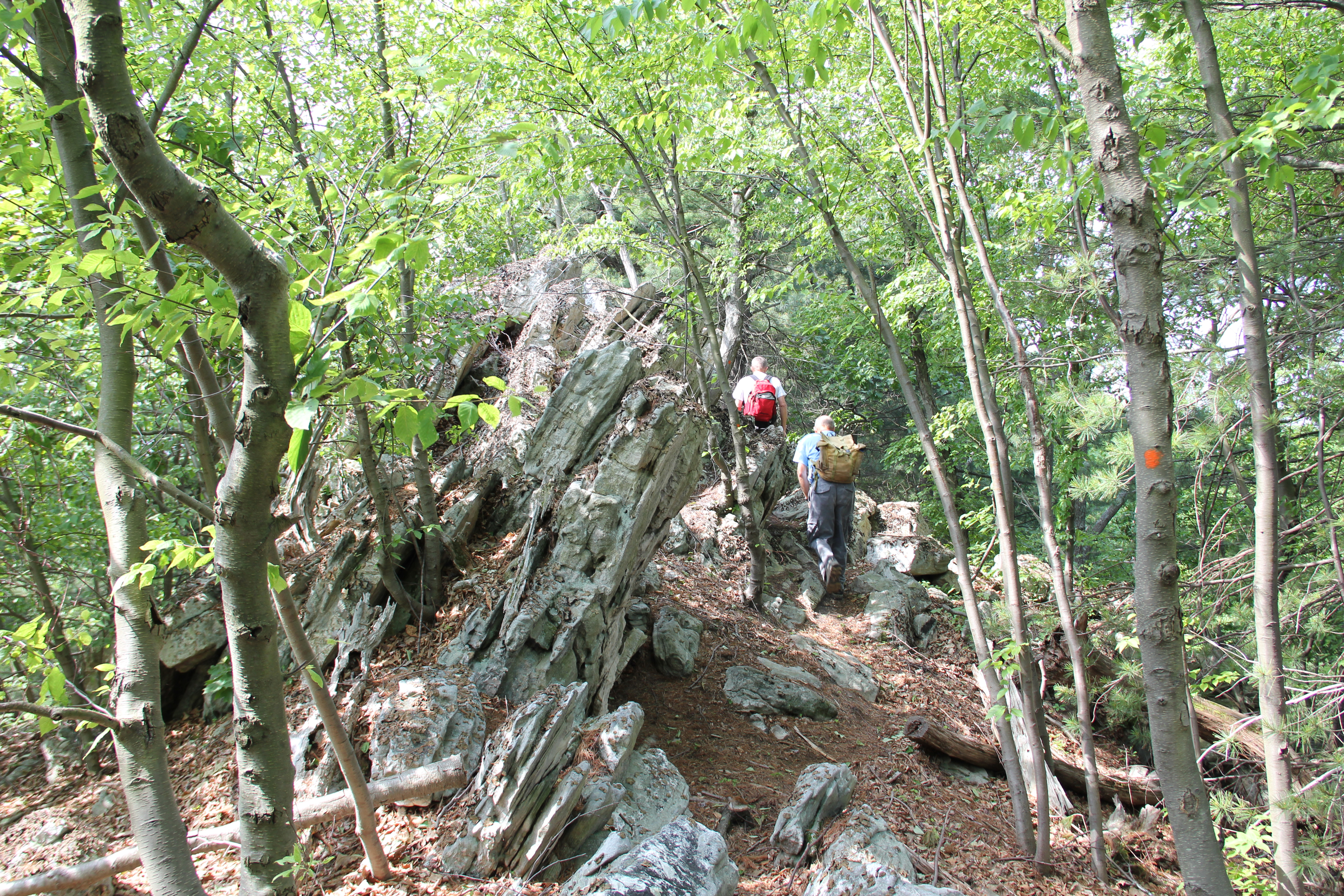
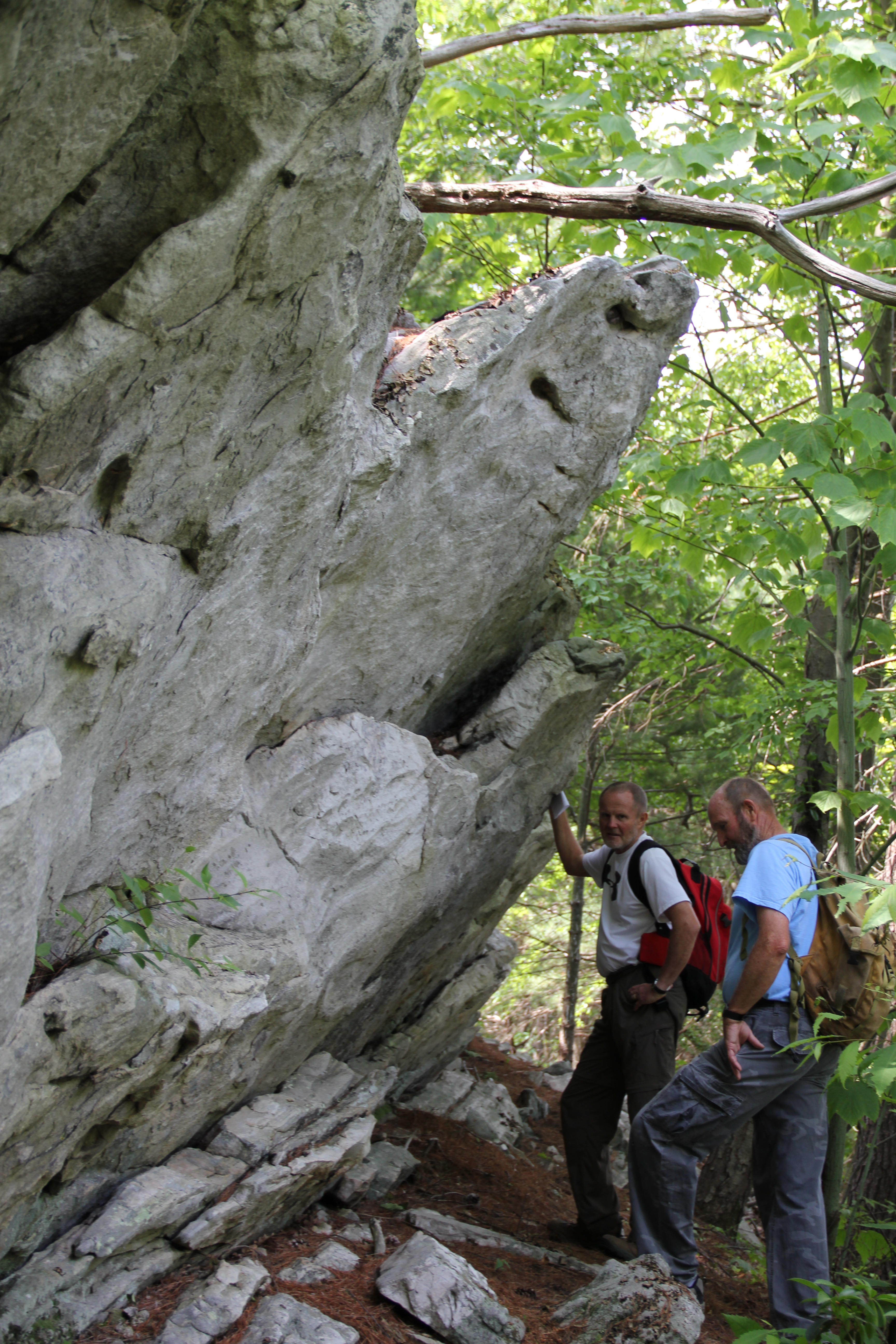
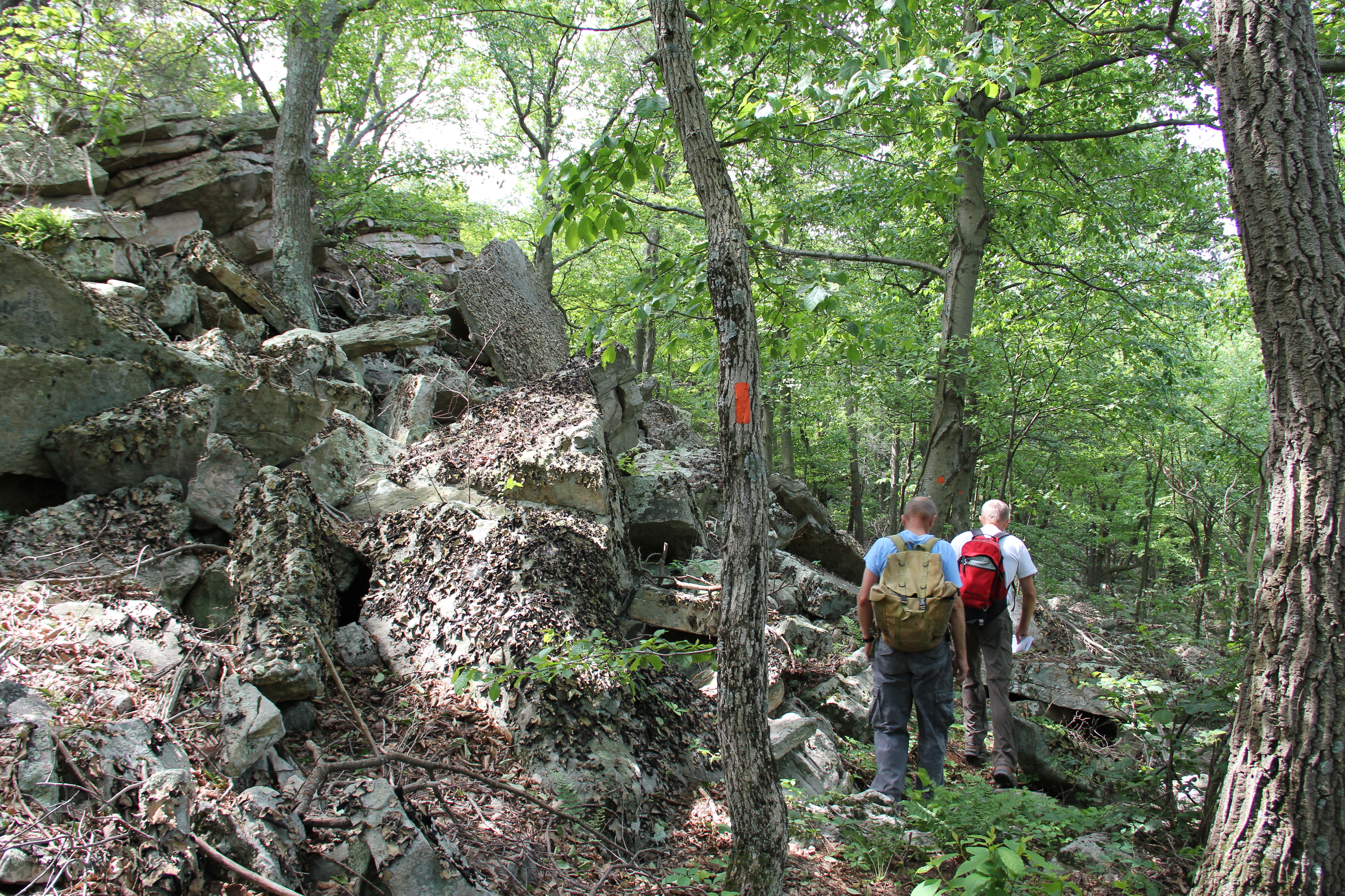
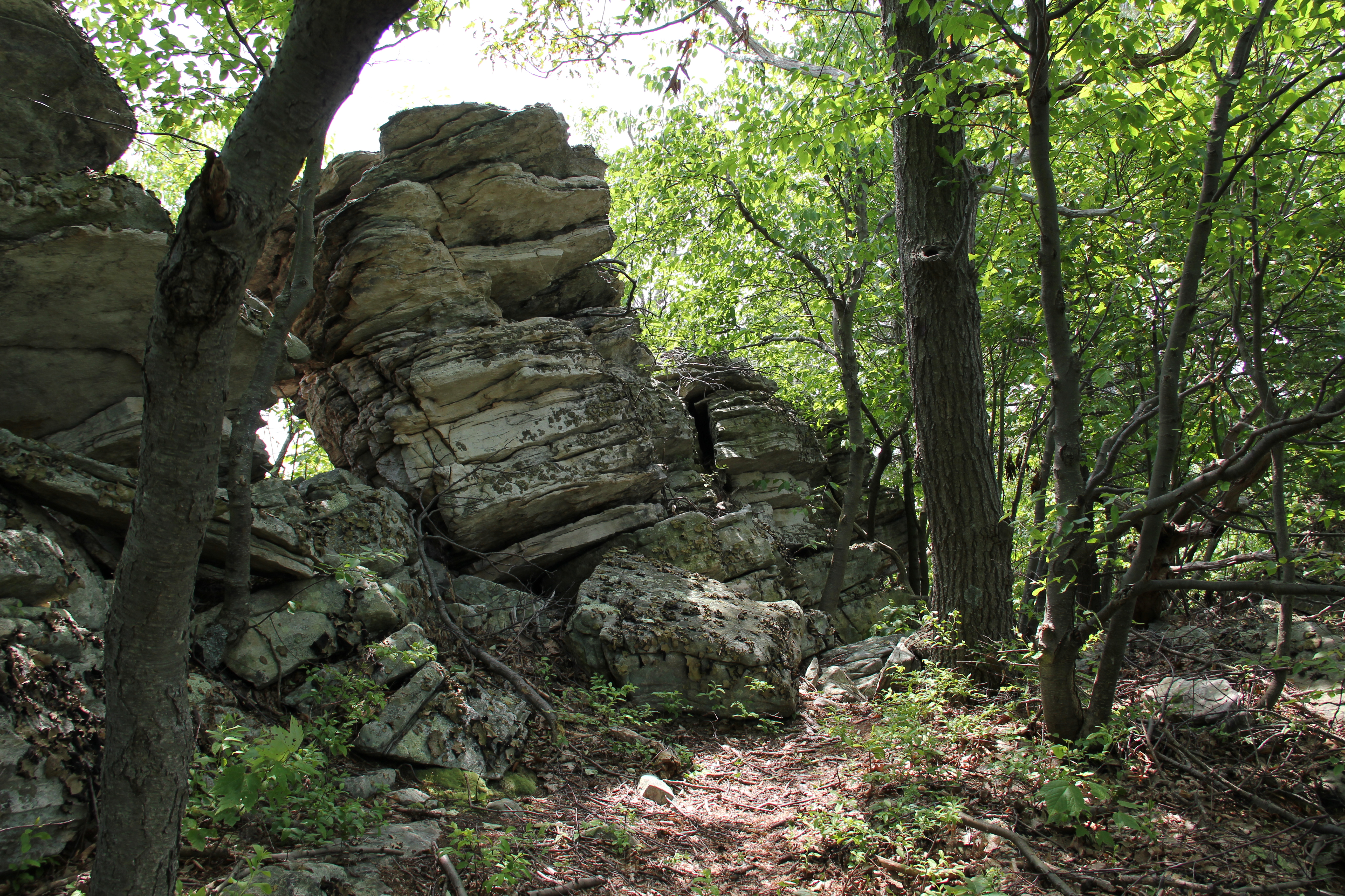
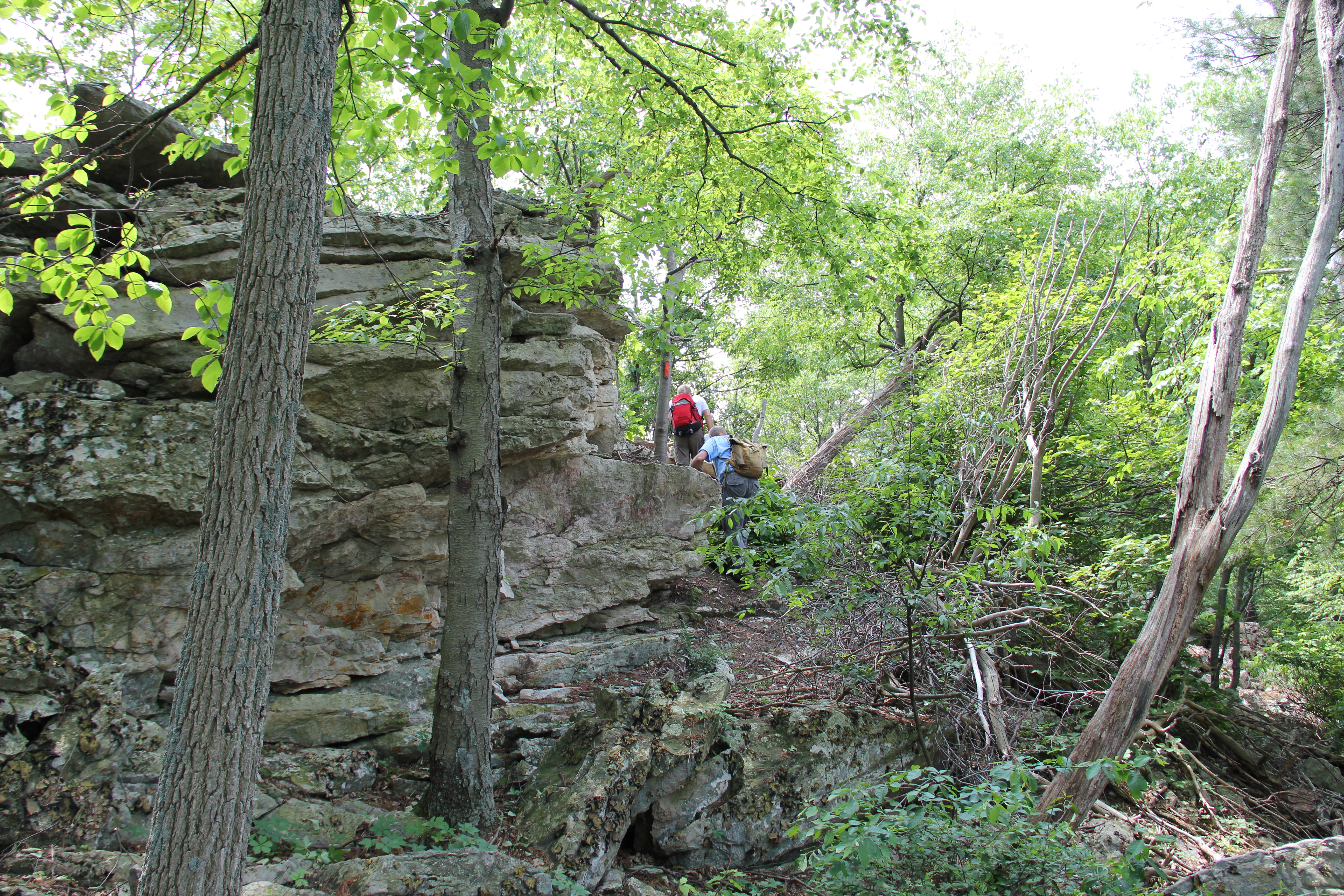
Passing by the junction of the Todd Trail, completing our first small loop of the day, we continued southward along the ridge-line, staying on the Standing Stone Trail the rest of the way. We passed several other trail intersections: including the Sharpe, Fox, Wagner, Horseshoe and Knobsville Road Trails. The Standing Stone Trail itself was interesting, providing very pleasant walking much of the time, and passing by many interesting rock outcroppings and formations along the spine of Cove Mountain.


Cowans Gap Lake
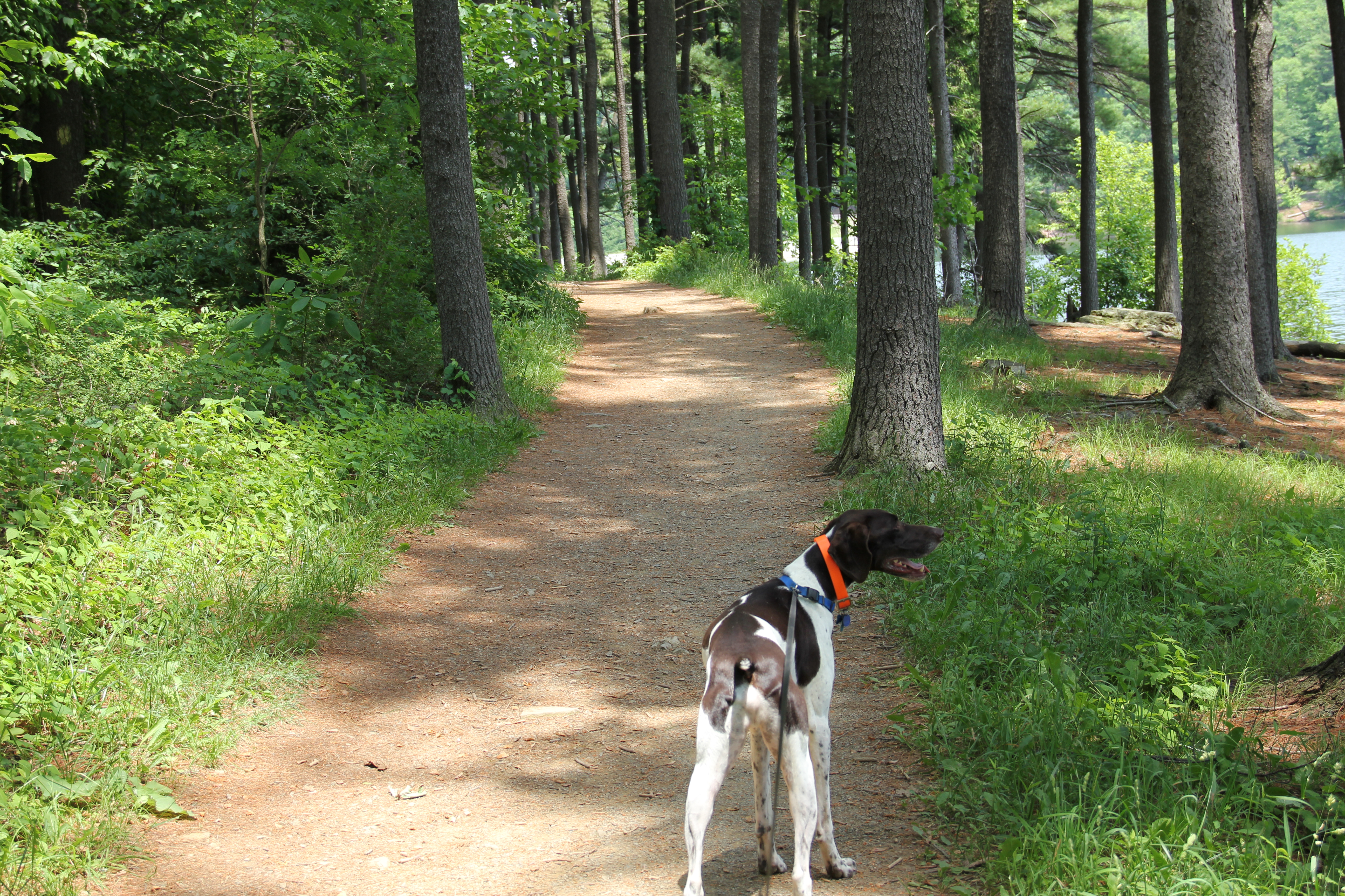
The final stretch of Standing Stone Trail, along the Cowans Gap Lake, was the easiest walking yet. We completed our big loop at the southernmost trailhead of the Standing Stone Trail, then we followed the Tuscarora Trail back across the spillway to the now much more crowded parking area.

Cowans Gap Lake