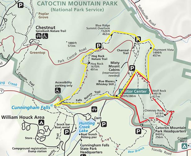
Round-trip distance: 10.5 miles
(clockwise: red loop first, yellow loop second)
Catoctin Mountain Park is one of those places I've often driven by but had never experienced. Today I got to experience a good portion of the trails and views that the park has to offer, with two loop hikes totaling about 10.5 miles.
Starting early from the visitor center, we had the first 4-mile loop hike to ourselves on this perfect late May Saturday. Note: Click on picture to see high resolution photograph
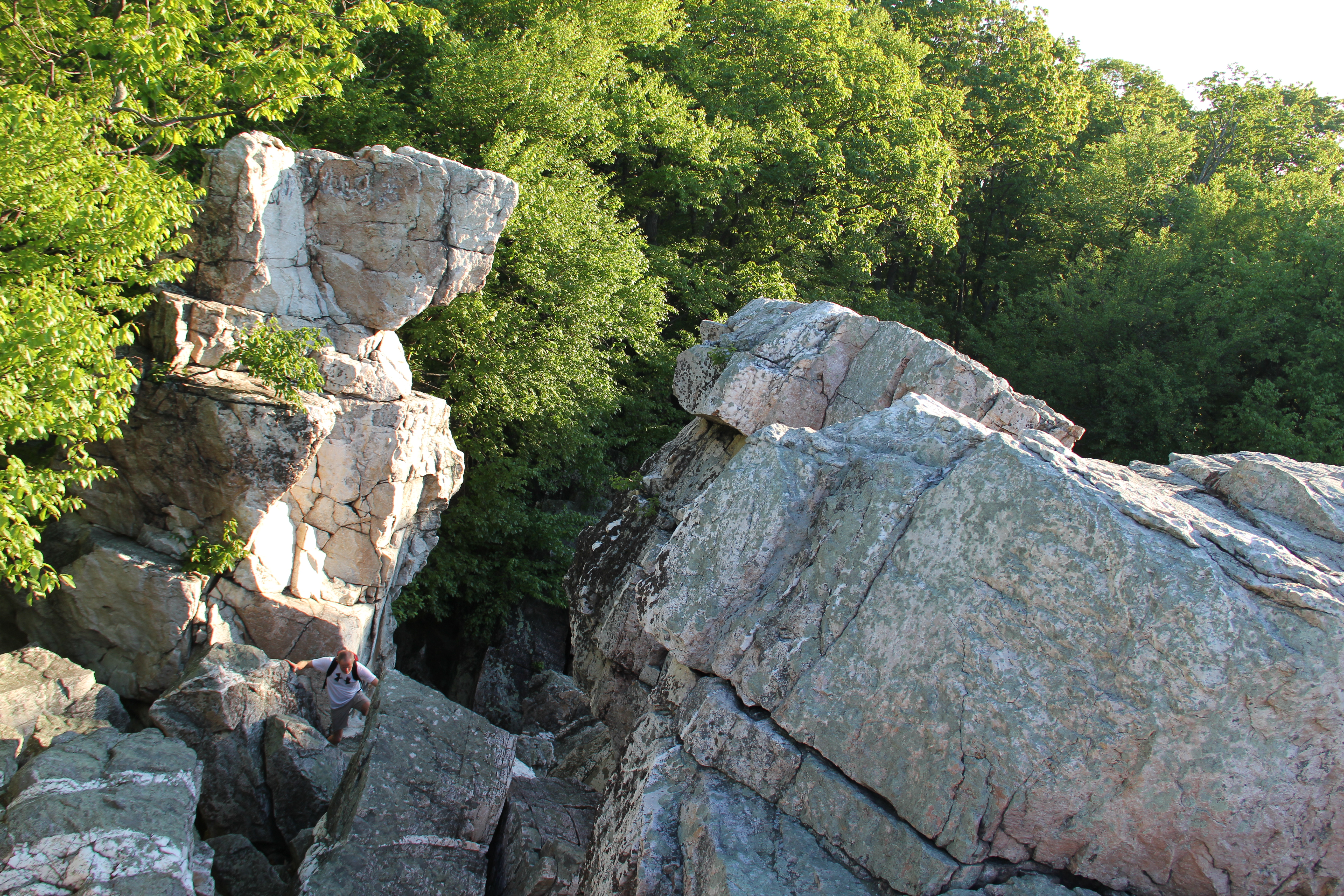
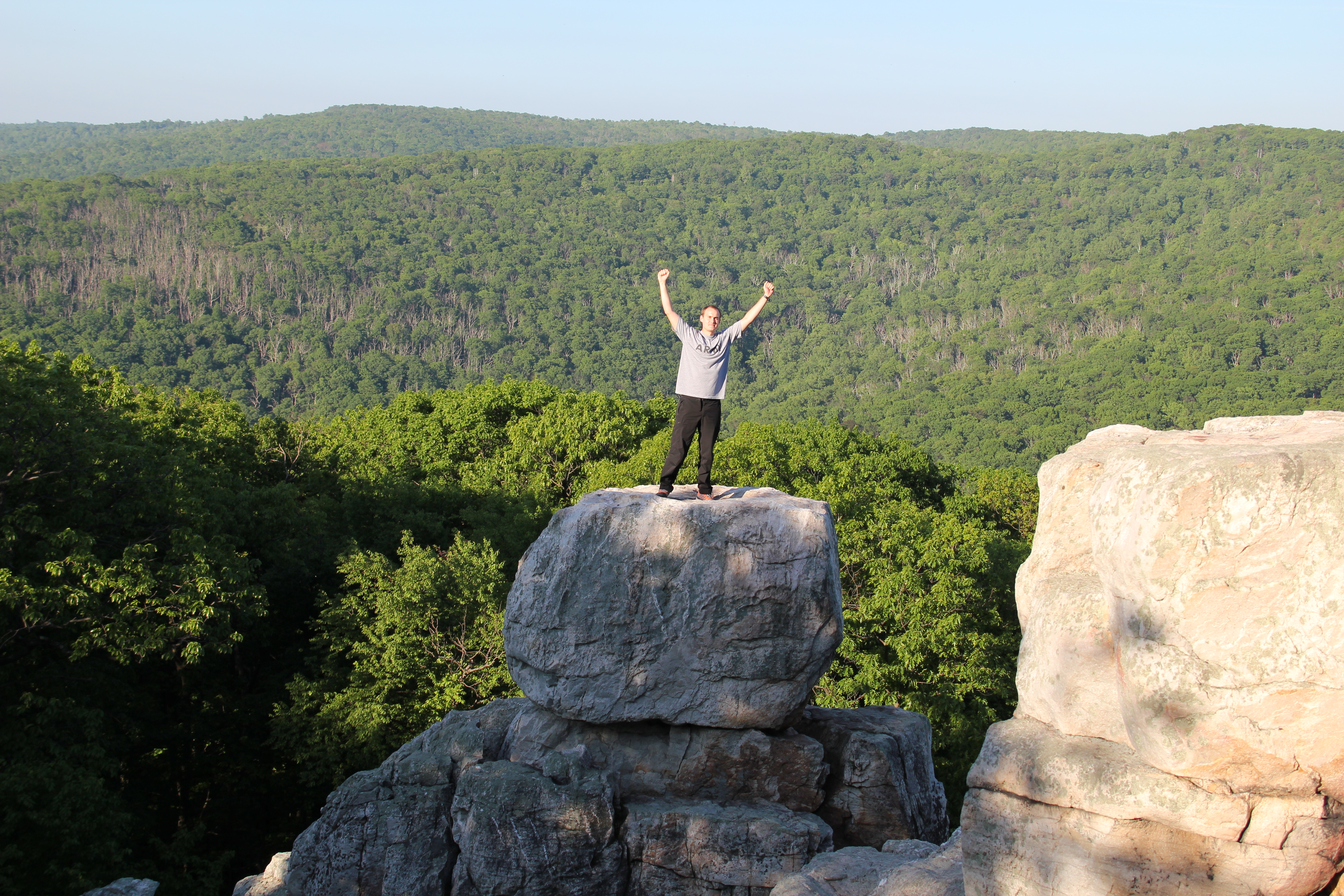
Tower at Wolf Rock

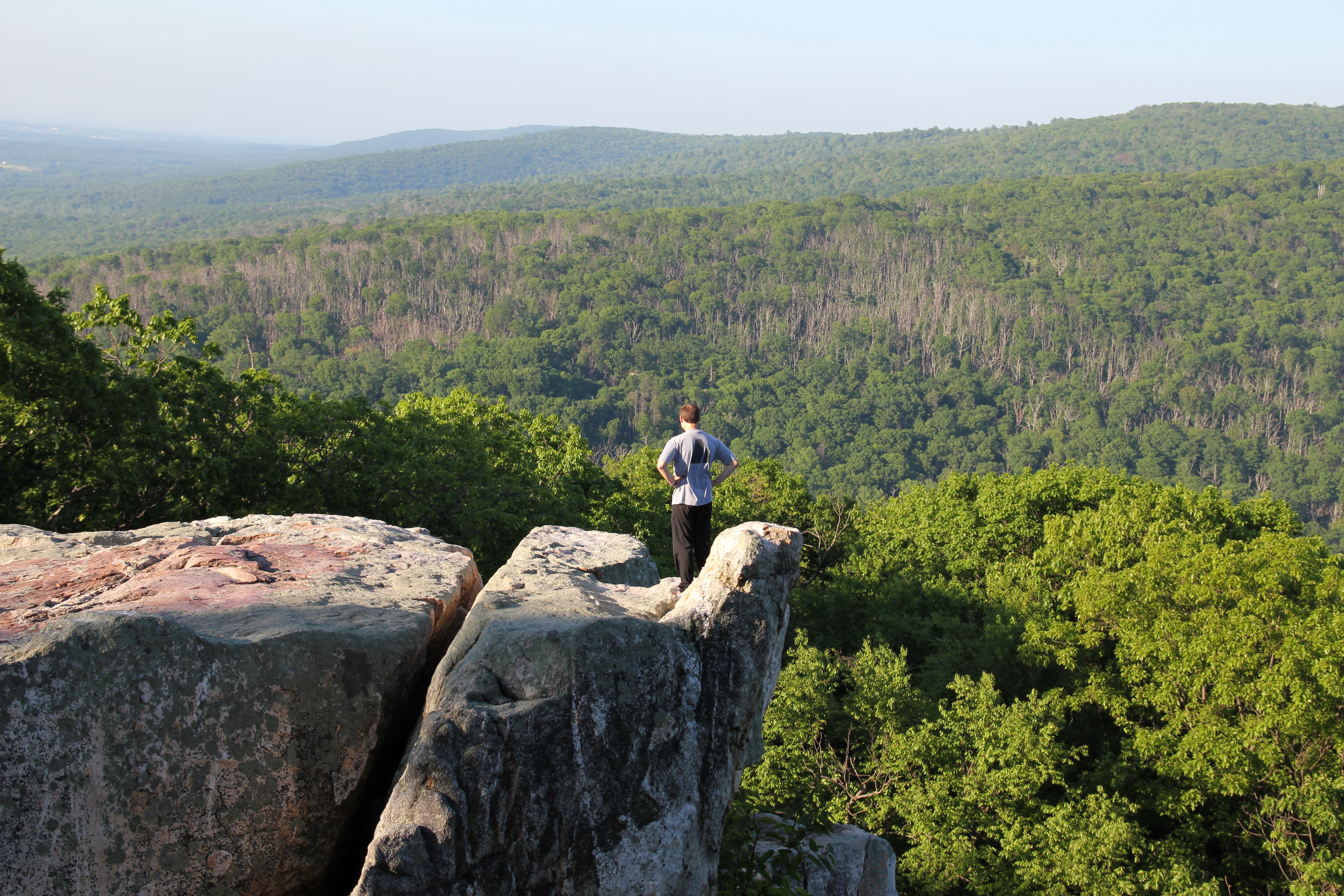
Looking down from Wolf Rock
After some switchbacks up the slopes of a mature oak forest, Wolf Rock rose abruptly out of the landscape. The vertical rock wall had an impressive tower at the north end, and a trail leading onto the top of it from the south end. There was no view from the top, but there appears to be no shortage of climbing routes along the rock wall and tower. Next time I'll have to get a climbing permit.
Chimney Rock Pics:
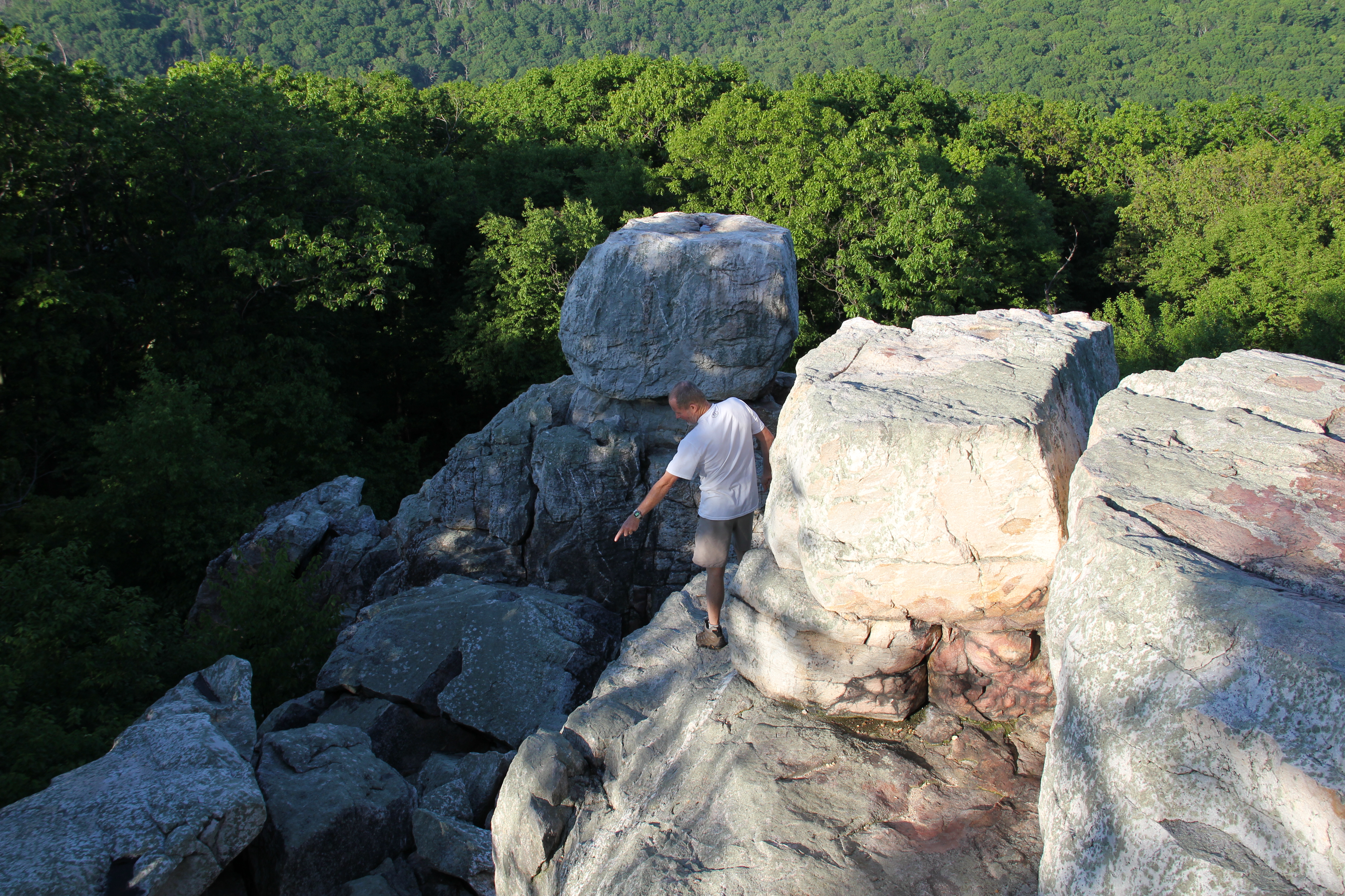
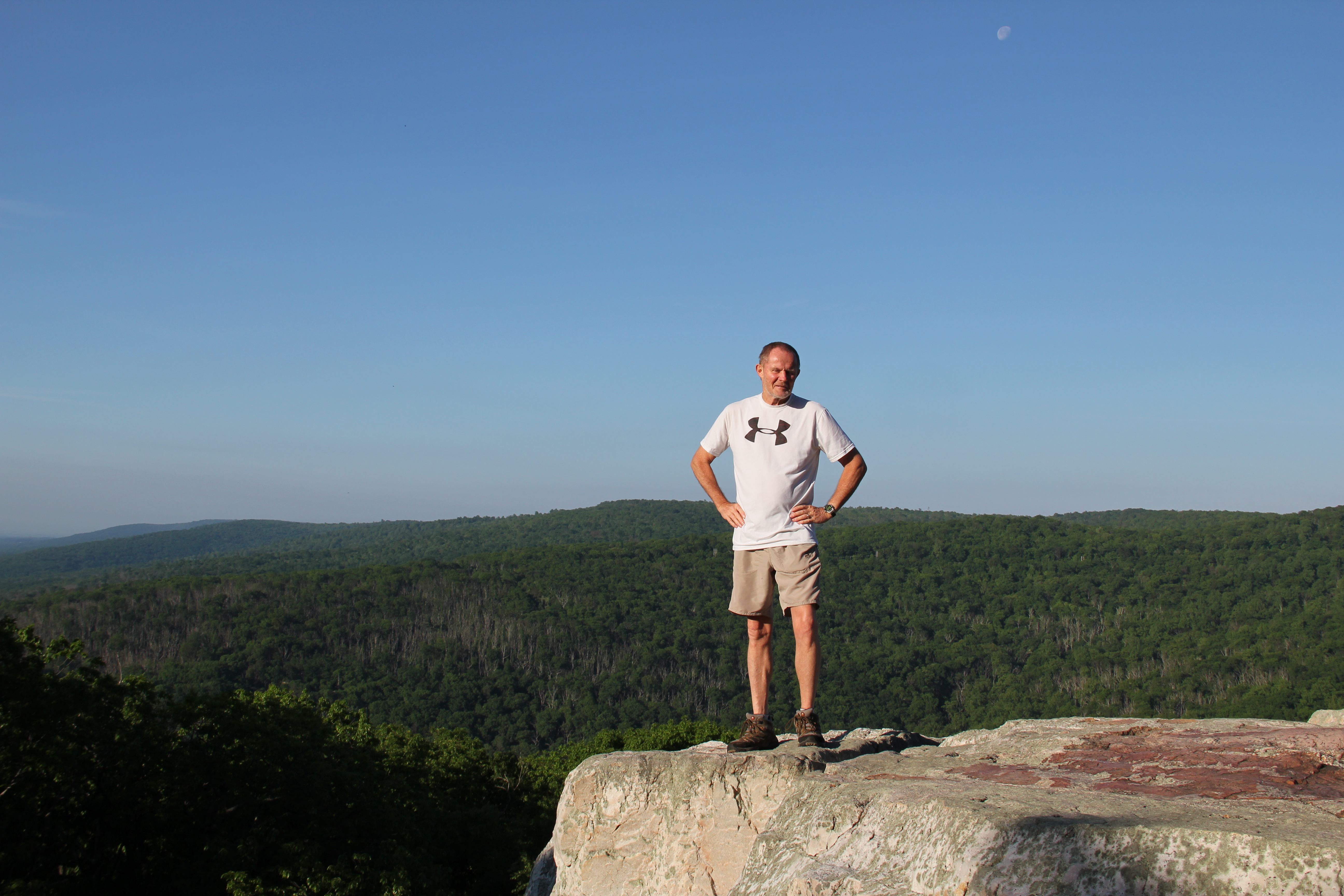

Another half mile of easy-walking led to Chimney Rock, which contained plenty of fun scrambling on solid rock and good views of the valley and surrounding mountains. The remainder of the loop led us down the southern slopes to the park headquarters, and another mile of easy trail paralleled the road until we arrived back at the parking lot where we had started.
Because we were training for some longer hikes out west to come later this summer, we were not yet half done with our hiking for the day. Crossing over Park Central Road and passing by the visitor center, we followed the Falls Nature Trail through some beech and oak forests to the underwhelming Cunningham Falls.
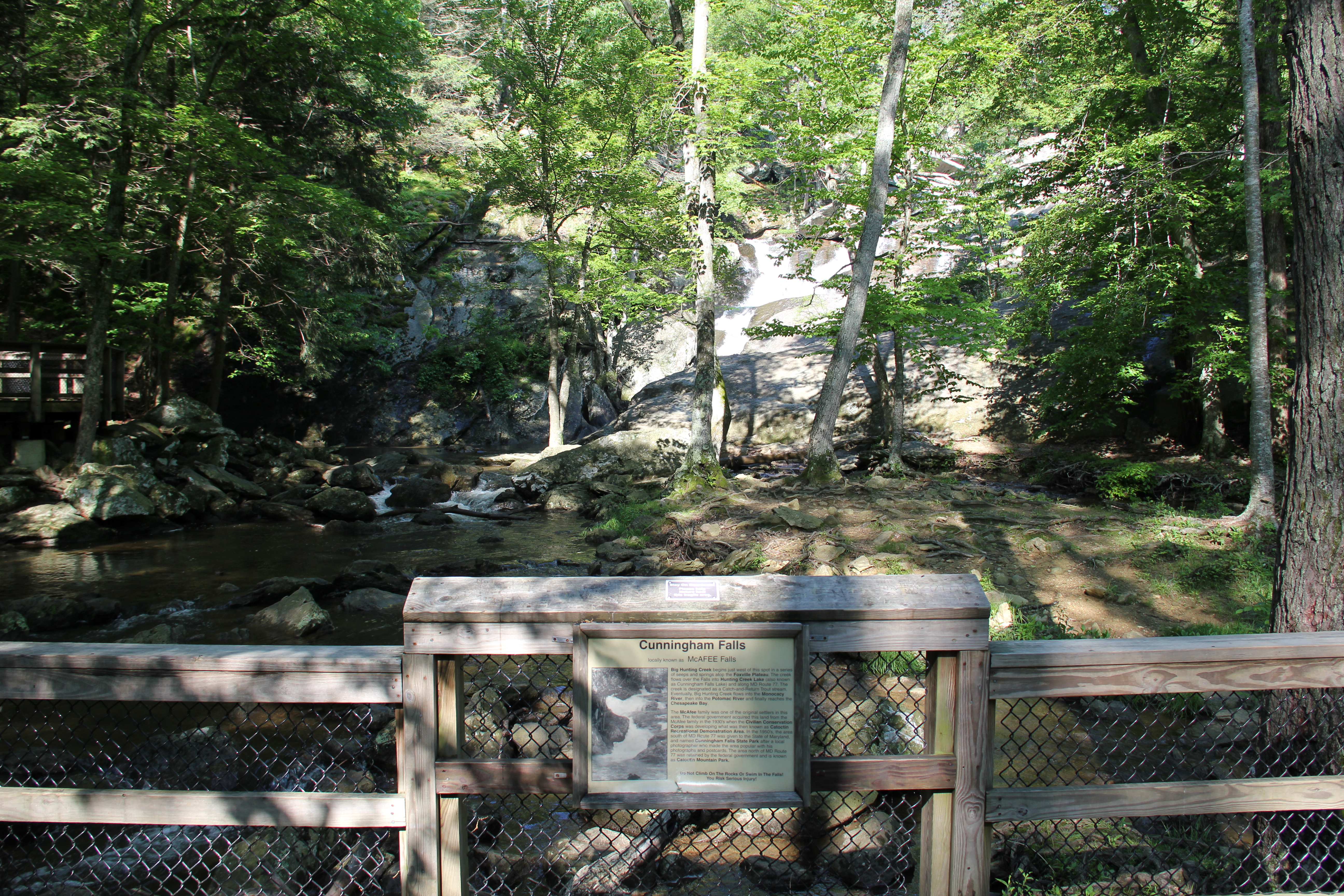
The highly restrictive view of Cunningham Falls
From there we climbed the slopes to Hog Rock--also underwhelming but with a decent view. For an extra detour, we followed the Hog Rock Nature Trail, which contains a dozen or so markers for different kinds of trees.
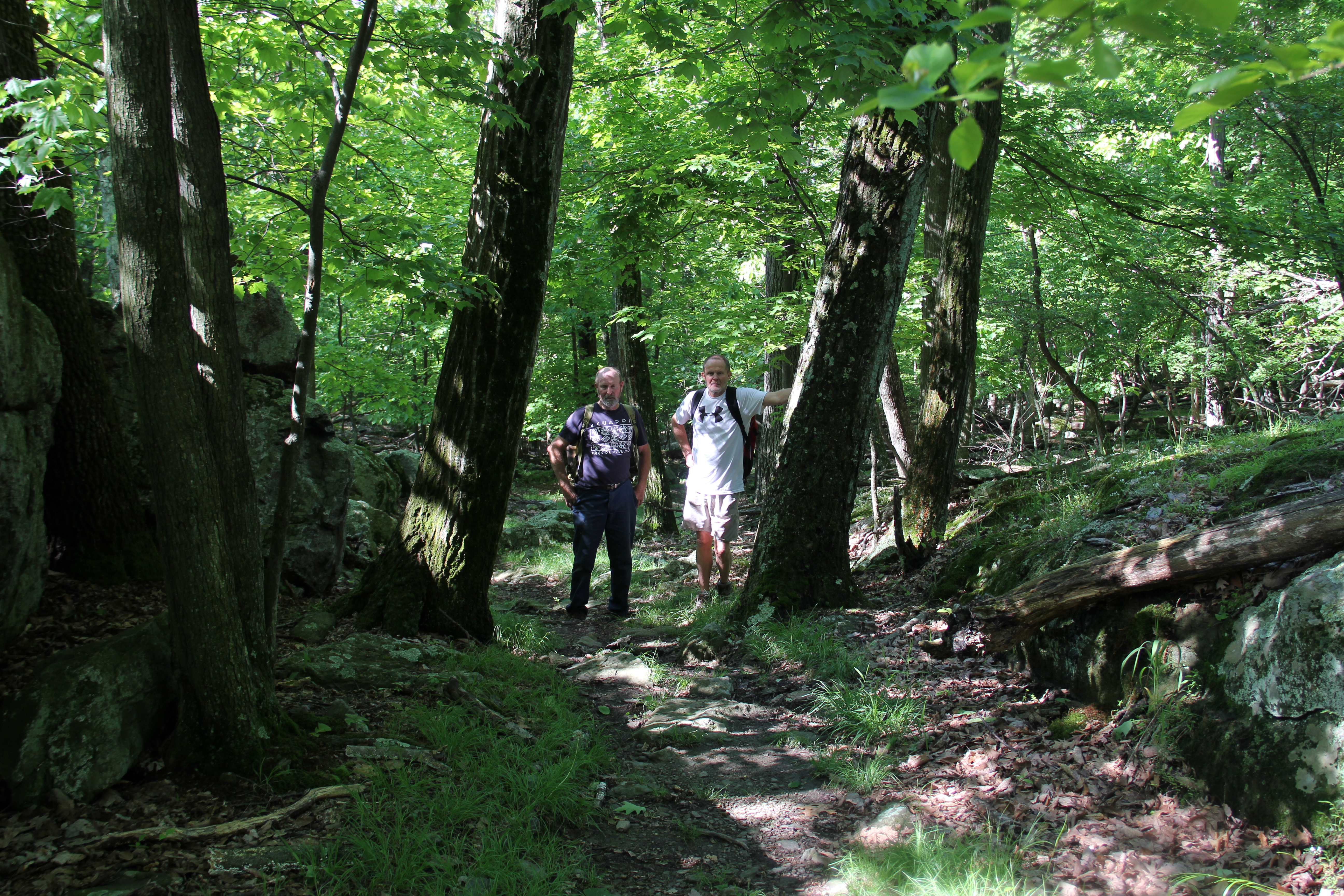
Dad and Uncle John, along the trail
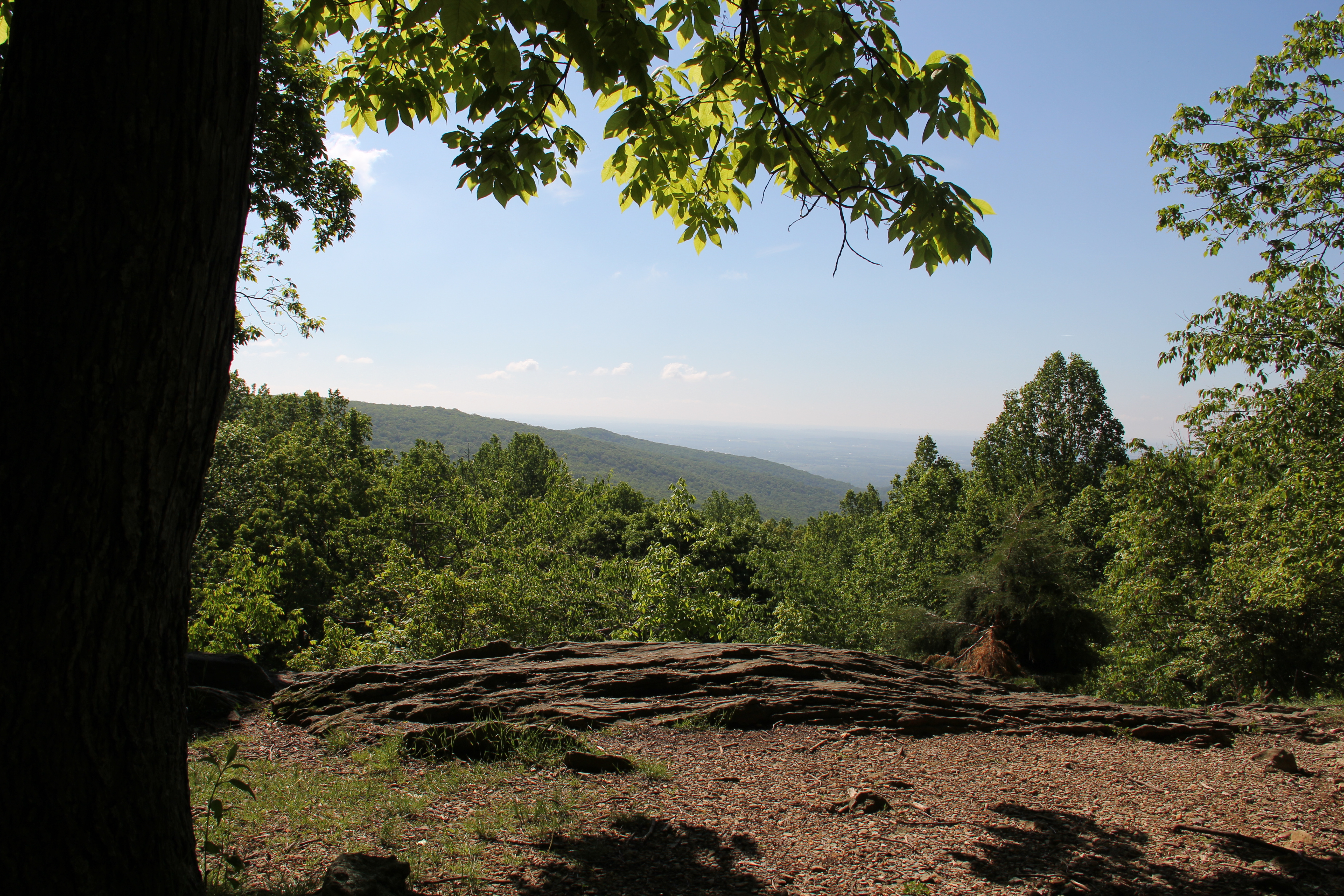
Hog Rock View
We passed by two more overlooks, including the Blue Ridge Summit Overlook and Thurmont Vista. We had the trails mostly to ourselves throughout the day, but a crowd of people were gathered at Thurmont Vista so we passed by there without stopping. Then we turned back down the trail which eventually led back to the visitor center
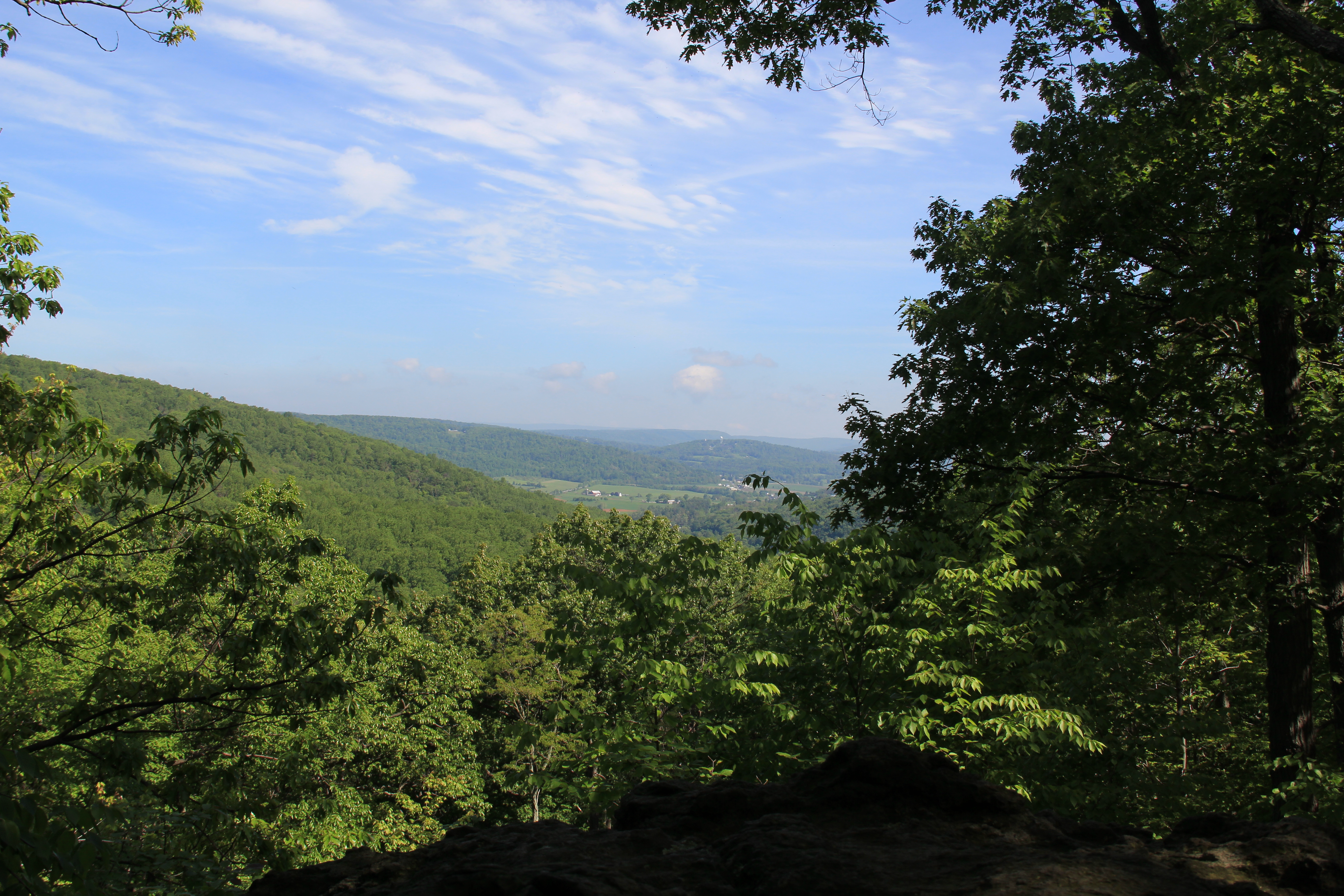
Blue Ridge Summit Overlook
Our's had been the first vehicle there this morning; now almost midday there were more vehicles than than there were parking spots. This was more the crowd I had expected in this park; it paid to get an early start.